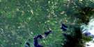
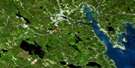
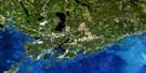
Fredericton Satellite Image Map
Download Free Aerial Photo 021G15 at 1:50,000 scale
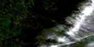
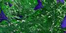
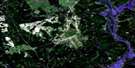
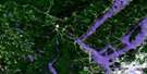
Fredericton Satellite Imagery
To view this satellite map, mouse over the air photo on the right.
You can also download this satellite image map for free:
021G15 Fredericton high-resolution satellite image map.
Maps for the Fredericton aerial map sheet 021G15 at 1:50,000 scale are also available in these versions:
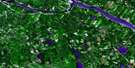
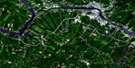
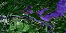
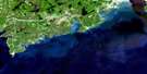
Fredericton Surrounding Area Aerial Photo Maps
 |
 |
 |
 |
 |
 |
 |
 |
 |
 |
 |
|
 |
 |
 |
© Department of Natural Resources Canada. All rights reserved.
Fredericton Gazetteer
The following places can be found on satellite image map 021G15 Fredericton:
Fredericton Satellite Image: Bays
Burden CoveCliffs Cove
Courser Cove
Currier Creek Basin
Hammond Brook Basin
Jewetts Cove
Kellys Creek Basin
Longs Creek Arm
Mactaquac Park Arm
Mactaquac Stream Basin
McNallys Cove
Snowshoe Cove
Walinaik Cove
Wheeler Cove
Fredericton Satellite Image: Beaches
Burpee BarFredericton Satellite Image: Capes
Brick Hill PointBrick Kiln Point
Crocks Point
Fredericton Satellite Image: Channels
Big ChokeyGrand Pass
Hilyard Dugway
Keswick Island Thoroughfare
Little Chokey
Morrow Dugway
Sugar Island Thoroughfare
The Gut
The Thoroughfare
Upper Thoroughfare
Fredericton Satellite Image: City
FrederictonFredericton Satellite Image: Falls
Split Rock FallsFredericton Satellite Image: Geographical areas
BrightBurton
Douglas
Gladstone
Kingsclear
Lincoln
Manners Sutton
Maugerville
New Maryland
Prince William
Queensbury
Sunbury
York
Fredericton Satellite Image: Hydraulic construction
Mactaquac DamFredericton Satellite Image: Indian Reserves
Devon 30Kingsclear 6
St. Mary's 24
Fredericton Satellite Image: Islands
Barkers IslandBreakwater Island
Burpee Island
Clements Island
Clements Island
Currie Island
Dunphy Island
Eccles Island
Eqpahak
Hartt Island
Hartts Island
Hawkins Island
Jewett Island
Jewett Island
Keswick Island
Lower Shores Island
Mactaquac Island
McGibbon Island
Merrithew Island
Merrithews Island
Mitchells Island
Murray Island
Nevers Island
Oromocto Island
Parsnip Island
Pitt Island
Ram Island
Ross Island
Savage Island
Shores Island
Snowshoe Island
Sugar Island
Upper Shores Island
Wheeler Island
Fredericton Satellite Image: Lakes
Foss PondFrench Lake
Grieve Lake
Holden Pond
Holland Lake
Lake Erina
Little Lake
Mactaquac Lake
Morrow Pond
Murray Lake
Scotch Lake
Sterling Lake
Sunpoke Lake
Tower Lake
Waasis Pond
White Pond
Yoho Lake
Yoho Lake (Lake Erina)
Fredericton Satellite Image: Mountains
Bunker HillBunker Hill
College Hill
Currie Mountain
French Ridge
Harvey Mountain
Horseback Ridge
Horse-back Ridge
Keswick Ridge
Maryland Hill
Mount Harvey
Popple Hill
Porcupine Mountain
Rice Hill
Fredericton Satellite Image: Conservation areas
Église anglicane Holy TrinityHoly Trinity Anglican Church
Kings Landing
L'église anglicane St. Mary the Virgin
Mactaquac Provincial Park
Military Compound
Quartier militaire
Queensbury Provincial Park
Sunbury-Oromocto Provincial Park
The Church of St. Mary the Virgin
Woolastook Provincial Park
Fredericton Satellite Image: Rivers
Alder BrookAlder Brook
Alex Creek
Baker Brook
Banks Brook
Barlow Brook
Bear Brook
Bear Brook
Bear Creek
Berry Brook
Black Brook
Bully Brook
Burpee Brook
Buttermilk Brook
Campbell Creek
Carman Creek
Carr Brook
Charley Brook
Christie Brook
Coburn Brook
Corbett Brook
Corbett Brook
Corey Brook
Currie Brook
Currier Creek
Curry Creek
Deer Creek
Duffy Brook
Duncan Brook
East Branch Longs Creek
Farnham Brook
First Gore Brook
Fish Creek
Fisher Brook
Fletcher Brook
French Lake Creek
Friars Brook
Friels Brook
Garden Creek
Gardens Creek
Gardens Creek
Gardner Creek
Geary Brook
Gordon Brook
Grieves Creek
Gully Brook
Hammond Brook
Haunted Brook
Hazen Brook
Hazen Brook
Hughes Brook
Indian Brook
Jewetts Creek
Jim Knight Brook
Johnson Brook
Kaine Creek
Kane Brook
Kanes Brook
Kelly Brook
Kelly Brook
Kellys Creek
Kenney Creek
Keswick River
Killarney Brook
Kinney Creek
Kitchen Brook
Little Brook
Little Mactaquac River
Little Mactaquac Stream
Little Portobello Stream
Little Sunpoke Creek
Little Tracy Brook
Little Waasis Creek
Little Waasis Stream
Little Yoho Brook
Longs Creek
Maple Glen Brook
Mazerall Creek
Mazerol Creek
McConaghy Brook
McCullough Brook
McIntosh Brook
Meadow Brook
Mill Brook
Mill Creek
Mill Stream
Mowrey Brook
Mud Creek
Murray Brook
Nashwaak River
Nashwaaksis Stream
Nasonworth Millstream
North Branch Rusagonis Stream
North Rusagonis River
Northwest Branch Noonan Stream
O'Brien Brook
O'Leary Brook
Oromocto River
Peppers Brook
Peter Smith Brook
Phyllis Creek
Pinder Creek
Porcupine Stream
Portobello Creek
Portobello Stream
Reed Brook
Regiment Creek
Rice Brook
Rivière Saint-Jean
Rockwell Stream
Rusagonis River
Rusagonis Stream
Saint John River
Sandhill Brook
Sandy Creek
Second Bear Brook
Second Gore Brook
Shaw Creek
Shin Creek
Sinclair Brook
Snake Creek
South Branch Longs Creek
South Branch Mactaquac Stream
South Branch Rusagonis Stream
South Rusagonis River
Springhill Brook
Sunpoke Creek
Swale Creek
Tapley Creek
Waasis Creek
Waasis Stream
Weary Brook
Weaver Creek
Weeks Creek
Wilmot Creek
Woods Brook
Wright Brook
Wynott Brook
Yoho Stream
Fredericton Satellite Image: River features
Coac ReachGlooscap Reach
Little Forks
Maple Bend
Pickards Padou
Scoodawabscook Bend
Sugar Island Padou
The Oxbow
Fredericton Satellite Image: Shoals
Chapel BarChapel Bar
Hartts Island Bar
McCleary Bar
McIntosh Bar
Slaughter House Bar
Wheeler Rock
Fredericton Satellite Image: Towns
OromoctoFredericton Satellite Image: Unincorporated areas
BarkerBarkers Point
Beaver Dam
Burden
Camp Road
Central Kingsclear
Charters Settlement
Cherry Bank
Clanfield
Devon
Doak
Doak Settlement
Douglas
French Lake
French Village
Garden Creek
Glasier
Hanwell
Island View
Jewetts Mills
Keswick
Keswick Ridge
Kingsclear
Lake George Road
Lincoln
Longs Creek
Lower French Village
Lower Lincoln
Lower Line Queensbury
Lower Prince William
Lower Queensbury
Lower Queensbury
Lower St. Marys
Mactaquac
Mactaquac
Marysville
Marysville Junction
Mazerall Settlement
Mazerolle Settlement
McGinley
McKeens Corner
McKinley
McKinley Ferry
McNallys
McNallys Ferry
Morrison
Mouth of Keswick
Nashwaaksis
Nasonworth
New Market
Newmarket
Noonan
North Devon
Oborne
Oromocto West
Rear Maugerville
Rockland
Rusagonis
Rusagonis Station
Salamanca
Sandyville
Scotch Lake
Scotch Settlement
Silverwood
Smithfield
Smithfield Settlement
South Devon
Springhill
Sugar Island
Sunpoke
Upper Maugerville
Veyseys
Victoria Mills
Waasis
Waterville
Wilmots
Woodside
Yoho
Youngs Crossing
Fredericton Satellite Image: Low vegetation
Bear Creek MeadowBig Meadow
Cogswell Meadow
Fish Creek Meadow
Foss Meadow
French Lake Meadow
Halfords Meadow
Hazen Meadows
Holden Meadow
Howland Meadow
Hurley Meadow
Jones Meadows
Longs Meadow
McKeevers Meadow
Mersereau Meadow
Morrow Meadow
Murray Meadows
Pickards Intervale
Rusagonis Meadow
Sunpoke Meadow
Tracys Meadow
Waasis Meadow
Wood Meadow
Fredericton Satellite Image: Villages
New Maryland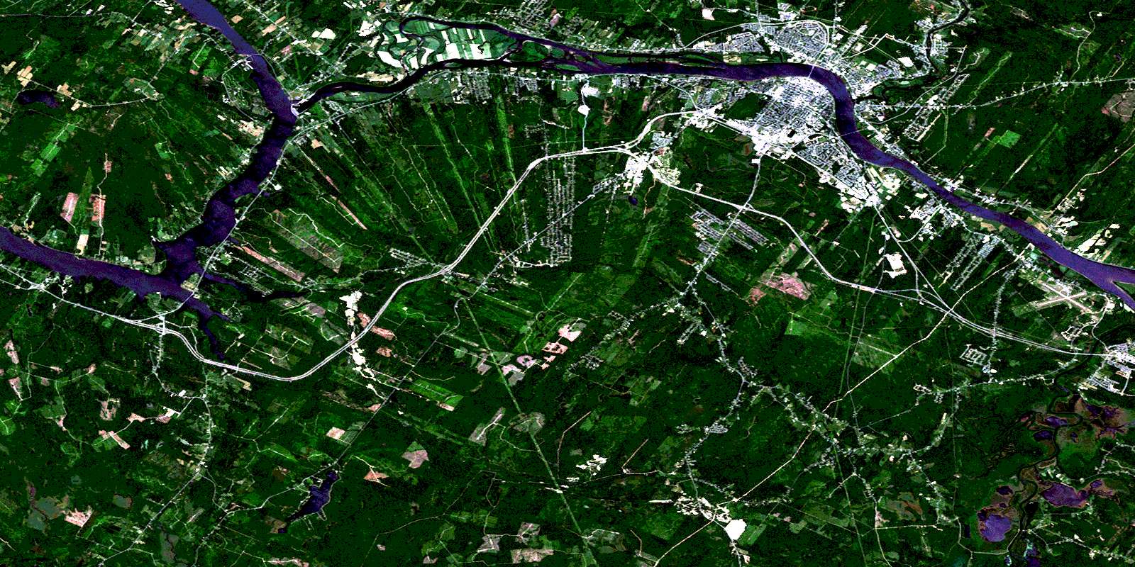
© Department of Natural Resources Canada. All rights reserved.
