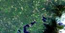
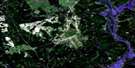
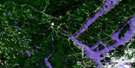
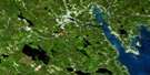
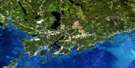
Forest City Satellite Image Map
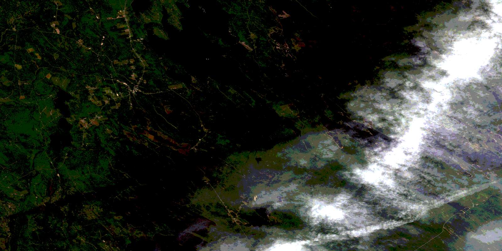
Download Free Aerial Photo 021G12 at 1:50,000 scale
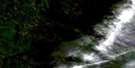
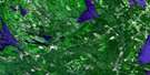
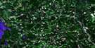
Forest City Satellite Imagery
To view this satellite map, mouse over the air photo on the right.
You can also download this satellite image map for free:
021G12 Forest City high-resolution satellite image map.
Maps for the Forest City aerial map sheet 021G12 at 1:50,000 scale are also available in these versions:
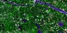
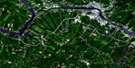
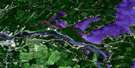
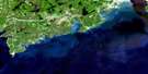
Forest City Surrounding Area Aerial Photo Maps
 |
 |
 |
 |
 |
 |
 |
 |
 |
 |
 |
|
 |
 |
 |
© Department of Natural Resources Canada. All rights reserved.
Forest City Gazetteer
The following places can be found on satellite image map 021G12 Forest City:
Forest City Satellite Image: Bays
Balm of Gilead CoveBig English Cove
Birch Island Cove
Cold Cove
Deadmans Bay
Haley Cove
Little English Cove
Long Island Cove
McAllister Cove
Mosquito Cove
Musquash Cove
Patterson Cove
Perkins Cove
Pirate Cove
Sandy Bay
Sandy Cove
Silas Cove
Tuttle Cove
Forest City Satellite Image: Capes
Haley PointHayes Point
Hinkley Point
Norway Point
Pettingill Point
Red Bank
Sandy Point
Forest City Satellite Image: Falls
Bolton Brook FallsMud Lake Falls
Forest City Satellite Image: Geographical areas
CanterburyNorth Lake
York
Forest City Satellite Image: Islands
Billy IslandBlack Island
Hardwood Island
Nan Island
Parker Island
Pillings Mound
The Nubbles
Todds Island
Forest City Satellite Image: Lakes
Azesko LakeBears Bath Tub
Bolton Lake
Chiputneticook Lakes
East Brook Lake
Grand Lake
Greenland Lake
Liddle Lake
Little Pug Hole
Mud Lake
Musquash Flowage
Musquash Lake
Parker Lake
Pirate Lake
Pug Hole
Spednic Lake
Spednik Lake
Travellers Rest Hole
Tuttle Lake
Forest City Satellite Image: Mountains
East Brook RidgeParker Lake Ridge
The Ledges
Tuttle Mountain
Forest City Satellite Image: Rapids
Tunnel RipsForest City Satellite Image: Rivers
Big La Coote StreamBirch Island Brook
Birch Island Brook
Bolton Brook
East Brook
East Greenland Brook
Falls Brook
Forest City Stream
Gobbler Brook
Greenland Brook
Little Dungarvon Brook
Little La Coote Stream
McAllister Brook
Meadow Brook
Mosquito Brook
Mud Lake Stream
Musquash Brook
North Branch Mosquito Brook
Palfrey Brook
Palfrey Stream
Pirate Brook
Pirate Brook
Pughole Brook
South Branch Mosquito Brook
South Pirate Brook
Tuttle Brook
Forest City Satellite Image: River features
Big DeadwaterConnick Deadwater
Little Deadwater
Forest City Satellite Image: Unincorporated areas
Forest CityPemberton
Pemberton Ridge
© Department of Natural Resources Canada. All rights reserved.
