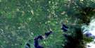
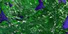
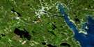
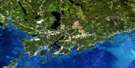
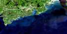
Fredericton Junction Satellite Image Map
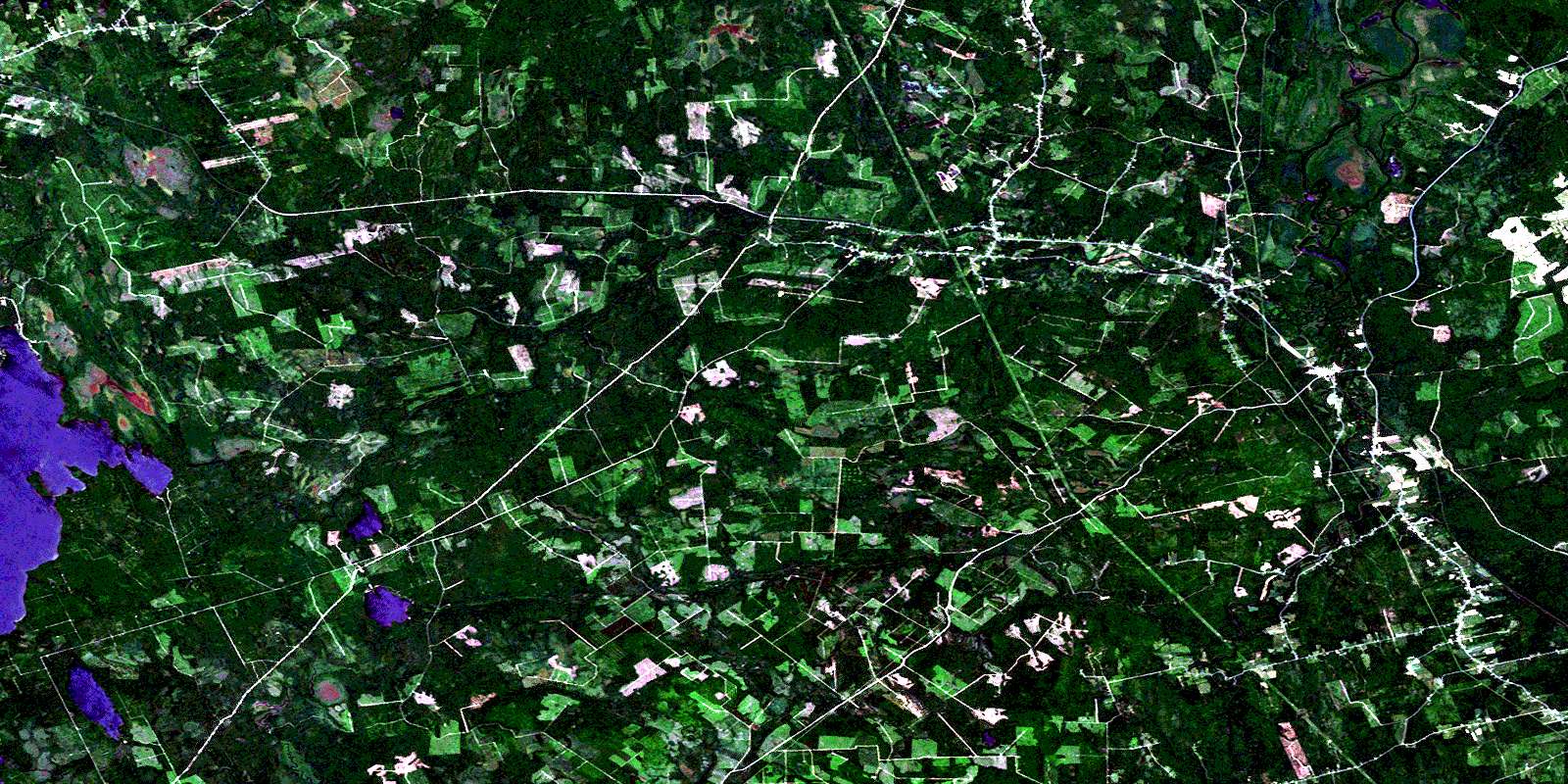
Download Free Aerial Photo 021G10 at 1:50,000 scale
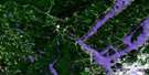
Fredericton Junction Satellite Imagery
To view this satellite map, mouse over the air photo on the right.
You can also download this satellite image map for free:
021G10 Fredericton Junction high-resolution satellite image map.
Maps for the Fredericton Junction aerial map sheet 021G10 at 1:50,000 scale are also available in these versions:
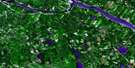
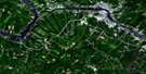
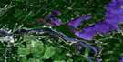
Fredericton Junction Surrounding Area Aerial Photo Maps
 |
 |
 |
 |
 |
 |
 |
 |
 |
 |
 |
|
 |
 |
 |
© Department of Natural Resources Canada. All rights reserved.
Fredericton Junction Gazetteer
The following places can be found on satellite image map 021G10 Fredericton Junction:
Fredericton Junction Satellite Image: Bays
Harbour Island CoveIndian Cove
Round Cove
Rutherfords Cove
Sam Hoyts Cove
The Basin
Fredericton Junction Satellite Image: Capes
Caribou PointDeer Point
Green Point
Indian Point
Norway Point
Orrs Point
Sand Point
Fredericton Junction Satellite Image: Channels
Kedron ThoroughfareThe Jaws
Fredericton Junction Satellite Image: Falls
Gaspereau FallsNorth Branch Falls
South Branch Falls
Fredericton Junction Satellite Image: Geographical areas
BlissvilleBurton
Charlotte
Clarendon
Dumbarton
Gladstone
Kingsclear
Lincoln
Manners Sutton
New Maryland
Petersville
Queens
Saint George
Sunbury
Fredericton Junction Satellite Image: Hydraulic construction
Russel DamFredericton Junction Satellite Image: Islands
Basley IslandCurries Island
Harbour Island
Hartts Island
Kelly Island
MacGougans Island
Matts Island
Fredericton Junction Satellite Image: Lakes
Big Kedron LakeCurries Pond
Grieve Lake
Halfmoon Pond
Holland Lake
Jakes Pond
Kedron Lake
Little Kedron Lake
Little Lake
McLaughlin Pond
Morrow Pond
Mud Lake
Oromocto Lake
Peltoma Lake
Second Kedron Lake
Seeley Pond
Seelys Lake
Three Tree Creek Pond
White Birch Lake
Fredericton Junction Satellite Image: Military areas
Canadian Forces Base GagetownChamp de tir et champ de manoeuvre Gagetown
Gagetown Range and Training Area
Fredericton Junction Satellite Image: Mountains
Bailey HillBailey Rock
Big Scott Mountain
Birch Lake Mountain
Brown Ridge
Harvey Mountain
Juvenile Hills
Lewis Mountain
Little Scott Mountain
McCarrick Ridge
Mount Harvey
Oak Ridge
Porcupine Rock
Seelys Mountain
Victors Mountain
Wooden Hill
Fredericton Junction Satellite Image: Rapids
Barton RapidsDowdall Rips
McCarrick Rips
Fredericton Junction Satellite Image: Rivers
Back CreekBass Creek
Bear Brook
Beaver Brook
Ben Brook
Black Brook
Boone Brook
Brizley Stream
Carrow Brook
Charley Brook
Cranberry Brook
Crazy Brook
Dan Brook
Dead Brook
Deadwater Brook
Dorothea Creek
Douglas Brook
East Branch Lyons Stream
East Lyon Stream
Elm Brook
Elm Brook
Elm Brook
Fitch Creek
Forbes Brook
Frank Nasons Brook
Gardner Creek
Gelder Brook
Gelder Creek
Gullison Brook
Half Mile Brook
Hardwood Creek
Heron Brook
Howe Brook
Image Brook
Jewetts Creek
Kedron Brook
Kleef Brook
Little Kedron Brook
Little Meransey Brook
Little Otter Brook
Little Yoho Brook
Lyon Stream
Lyons Stream
McCrackens Brook
McDougall Brook
Meransey Boone Brook
Meransey Brook
Mersereau Stream
Mill Brook
Mill Brook
Mink Brook
Mistake Brook
Monday Brook
Monday Creek
Morrow Brook
Morrow Brook
Musquash Brook
Neals Meadow Brook
North Branch Oromocto River
Northwest Oromocto River
Nutter Brook
Oromocto River
Orrs Brook
Otter Brook
Peltoma Brook
Peltoma Outlet
Pete Brook
Piskahegan Stream
Porcupine Brook
Porcupine Stream
Rothea Brook
Sable Brook
Scribner Brook
Seelys Brook
Shaw Creek
Shields Brook
Shin Creek
Shin Creek
Sophia Brook
Sophia Creek
South Branch Oromocto River
South Branch Shin Creek
South Oromocto River
Spring Brook
Three Tree Creek
Tracy Brook
Upper Niles Brook
Yoho Stream
Fredericton Junction Satellite Image: Unincorporated areas
ActonBailey
Blissville
Blissville Airport
Boyne
Central Blissville
Cork
Germany
Hoyt
Hoyt Station
Hurley Corner
Juvenile Settlement
Klondike Settlement
Little Lake
Mill Settlement
Mill Settlement
Mill Settlement West
Patterson
Patterson Road
Patterson Settlement
Pleasington
Prides Landing
Roach
Rooth
Rooth Station
Sand Brook
South Branch
Three Tree Creek
Tracyville
Upper Tracy
Vespra
West Mill Settlement
Wirral
Fredericton Junction Satellite Image: Low vegetation
Bass Creek MeadowBear Brook Meadow
Big Heath
Boone Meadows
Byers Meadow
Dave McLaughlin Meadow
Fred Phillips Meadow
Hal Hartts Meadows
Little Heath
Lyons Stream Meadows
McLaughlin Meadow
Mersereau Meadow
Morrow Meadow
Neals Meadow
Porcupine Meadows
Prides Meadows
Seeley Intervale
Seeley Meadow
Shaw Creek Meadow
Shaws Meadows
Smith Mersereau Meadow
Three Tree Creek Meadow
Tom Hartts Meadows
Tracys Meadow
Wood Meadow
Fredericton Junction Satellite Image: Villages
Fredericton JunctionHarvey
Tracy
© Department of Natural Resources Canada. All rights reserved.
