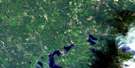
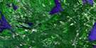
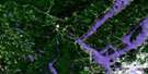
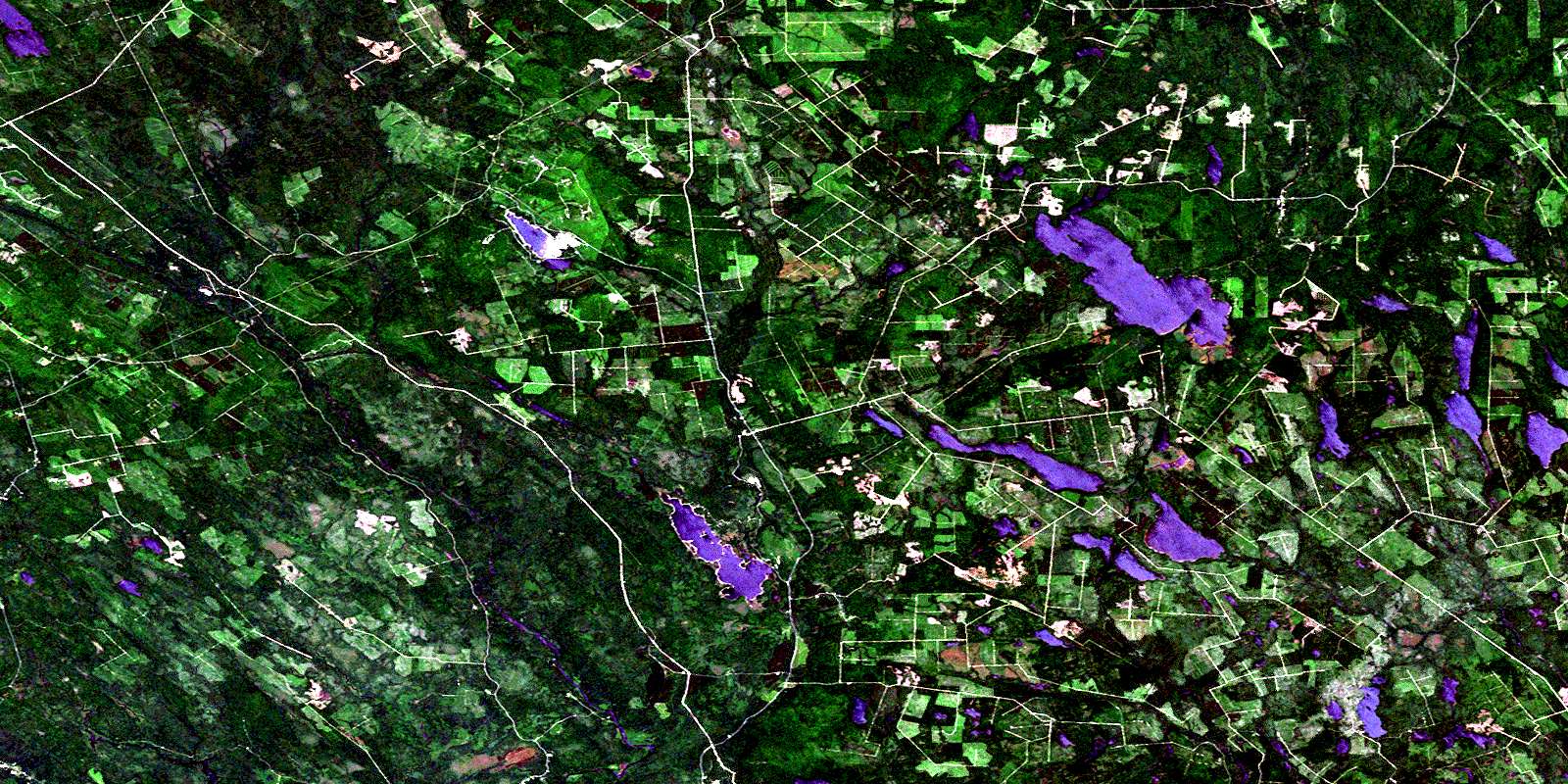
Mcdougall Lake Satellite Image Map
Download Free Aerial Photo 021G07 at 1:50,000 scale
Mcdougall Lake Satellite Imagery
To view this satellite map, mouse over the air photo on the right.
You can also download this satellite image map for free:
021G07 Mcdougall Lake high-resolution satellite image map.
Maps for the Mcdougall Lake aerial map sheet 021G07 at 1:50,000 scale are also available in these versions:
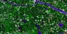
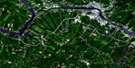
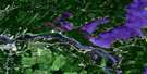
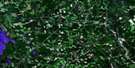
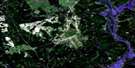
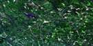
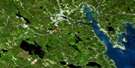
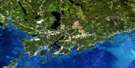
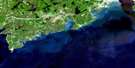
Mcdougall Lake Surrounding Area Aerial Photo Maps
 |
 |
 |
 |
 |
 |
 |
 |
 |
 |
 |
|
 |
 |
 |
© Department of Natural Resources Canada. All rights reserved.
Mcdougall Lake Gazetteer
The following places can be found on satellite image map 021G07 Mcdougall Lake:
Mcdougall Lake Satellite Image: Bays
Birch CoveMcLean Cove
The Basin
Mcdougall Lake Satellite Image: Capes
Barters PointBirch Point
Deer Point
Indian Point
Long Point
Ragged Point
Mcdougall Lake Satellite Image: Channels
The JawsMcdougall Lake Satellite Image: Falls
Little FallsMcDougall Falls
Munson Falls
Mcdougall Lake Satellite Image: Geographical areas
BlissvilleCharlotte
Clarendon
Dumbarton
Lepreau
Pennfield
Petersville
Queens
Saint George
Saint Patrick
Sunbury
Mcdougall Lake Satellite Image: Islands
Alder IslandBradt Island
Coxs Islands
Grassy Islands
Hatch Island
Horse Island
Turnover Island
Mcdougall Lake Satellite Image: Lakes
A LakeAdelaide Lake
Antonia Lake
Back Meadow Lake
Bear Lake
Bear Lake
Bear Lake
Big Kedron Lake
Blind Lake
Blind Lake
Boone Lake
Borea Lake
Caribou Lake
Coronary Lake
Cranberry Lake
Cranberry Lake
Crystal Lake
Cundy Lake
Deer Lake
Deer Lake
Digdeguash Lake
Disappointment Lake
Duck Lake
Duck Lake
Duck Lake
East Long Lake
Gardner Pond
Half Moon Lake
Ham Lee Lake
Heart Lake
Hurd Lake
Kedron Lake
Kerr Lake
Lake A
Lake Anthony
Lake Ormond
Little Cranberry Lake
Little Long Lake
Little McDougall Lake
Long Lake
Loon Lake
McCready Lake
McDougall Lake
Mistake Lake
Mosquito Lake
Mud Lake
Mud Lake
Mud Lake
Newton Lake
Newton Lakes
Nicholl Lake
October Lake
Ormond Lake
Otter Lake
Otter Lake
Oxbow Lake
Piskahegan Lake
Pocologan Lakes
Poqueawis Lake
Pug Hole
Red Rock Lake
Reserve Lake
Robinsons Pond
Rocky Lake
Rocky Lake
Sand Brook Lake
Sangus Lake
Scoullar Lake
Seely Lake
Smith Lake
Smith Lake
South Oromocto Lake
Spruce Lake
Strange Lake
Sunday Lake
Tamarack Lake
Tomoowa Lake
Unknown Lake
Victoria Lake
Wellington Lake
West Long Lake
Widgeon Lake
Wildcat Lake
Williamson Lake
York Dam Flowage
Mcdougall Lake Satellite Image: Mountains
Bald HeadBald Hill
Bear Mountain
Beech Hill
Bell Tower Mountain
Clarence Hill
Jimmy Hill
Logans Mountain
Mount Pleasant
New River Mountain
Pleasant Mountain
Red Rock Mountain
Red Rock Ridge
Sand Brook Mountain
Scoullar Mountain
Squaw Mountain
Stevenson Hill
True Hill
Mcdougall Lake Satellite Image: Rapids
Billy Smith RipsIndian Rips
Long Rips
Skulkin Rips
Mcdougall Lake Satellite Image: Rivers
Back Meadow BrookBear Brook
Bear Lake Brook
Big Brook
Black Brook
Bonny River Lake
Clarence Brook
Clarence Stream
Clarence Stream Run Round
Clarence Stream Runround
Clear Brook
Cranberry Brook
Deadwater Brook
Digdeguash River
Dowdall Meadow Brook
Eagle Mountain Brook
East Branch Brook
East Branch McDougall Inlet
Elm Brook
First Brook
Front Meadow Brook
Gardner Brook
Guntree Brook
Hatch Brook
Hiram Brook
Horse Brook
Hubble Brook
Jim Lee Brook
John Lee Brook
Jones Brook
Kedron Brook
Kedron Stream
Lake Anthony Brook
Lake Stream
Lepreau River
Lintons Meadow Brook
Lower Niles Brook
Magaguadavic River
Mahood Brook
McDougall Inlet
McDougall Lake Inlet
McDougall Lake Inlet
McDougall Lake Stream
McDougall Outlet
McDougall Stream
McDougall Stream
McLean Brook
Meadow Brook
Meadow Brook
Milligan Brook
Millikens Brook
Mistake Brook
Nason Brook
New River
Nicholl Brook
North Branch Lepreau River
Nutter Brook
Otter Lake Brook
Oxbow Brook
Perley Brook
Piskahegan River
Piskahegan Stream
Pughole Brook
Red Rock Stream
Rocky Brook
Sand Brook
Scoullar Brook
Seely Brook
Shin Creek
Simpson Brook
Snake Brook
South Branch Oromocto River
South Branch Shin Creek
South Oromocto River
Spring Brook
Stewart Meadow Brook
Tamarack Brook
Three Bridge Brook
Tom Stein Brook
Upper Niles Brook
Watering Place Brook
Watty Brook
West Branch Lepreau River
West Branch McDougall Inlet
Wildcat Brook
Williamsons Meadow Brook
Mcdougall Lake Satellite Image: River features
Diamond PoolsVictoria Deadwater
Mcdougall Lake Satellite Image: Unincorporated areas
Back ClarendonElmcroft
Elmsville
Lee Settlement
Pleasant Ridge
Pomeroy
Scott Brook
Mcdougall Lake Satellite Image: Valleys
Lower NotchUpper Notch
Mcdougall Lake Satellite Image: Low vegetation
Dowdall MeadowsFreeman Barren
© Department of Natural Resources Canada. All rights reserved.
