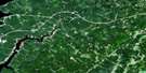
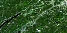
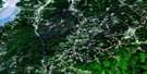
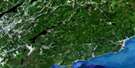
Margaretsville Satellite Image Map
Download Free Aerial Photo 021H03 at 1:50,000 scale
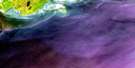
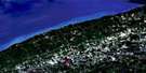
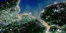
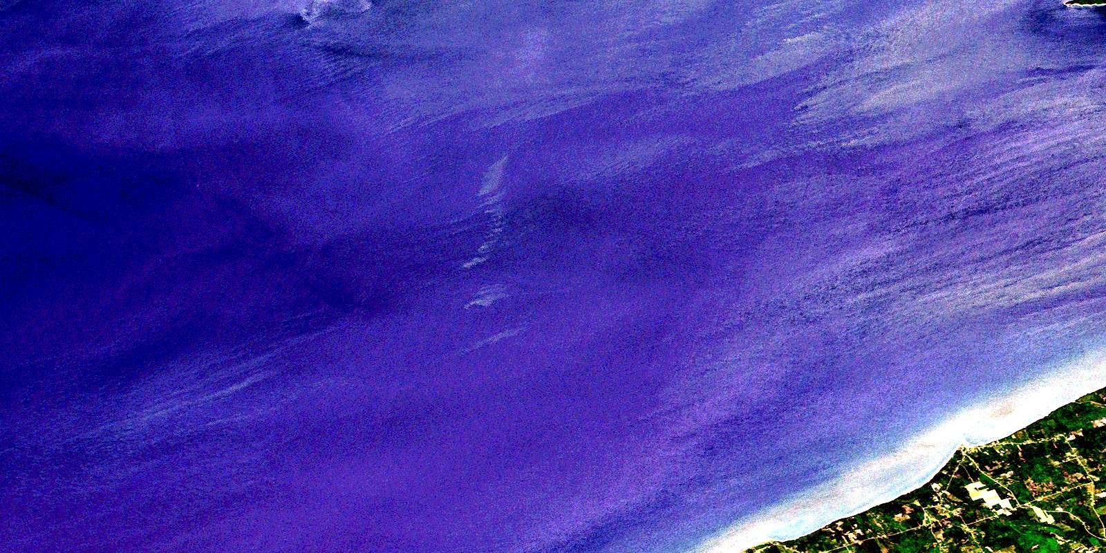
Margaretsville Satellite Imagery
To view this satellite map, mouse over the air photo on the right.
You can also download this satellite image map for free:
021H03 Margaretsville high-resolution satellite image map.
Maps for the Margaretsville aerial map sheet 021H03 at 1:50,000 scale are also available in these versions:
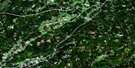
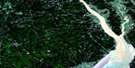
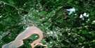
Margaretsville Surrounding Area Aerial Photo Maps
 |
 |
 |
 |
 |
 |
 |
 |
 |
 |
 |
 |
 |
 |
 |
 |
© Department of Natural Resources Canada. All rights reserved.
Margaretsville Gazetteer
The following places can be found on satellite image map 021H03 Margaretsville:
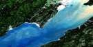
Margaretsville Satellite Image: Bays
Baie de FundyBay of Fundy
Bay of Fundy
The Saddle
Margaretsville Satellite Image: Capes
Boars HeadMargaretsville Point
Tom Slip Point
Margaretsville Satellite Image: Cliffs
Sand BanksMargaretsville Satellite Image: Geographical areas
AnnapolisKings
Margaretsville Satellite Image: Islands
Ile HauteIsle Haute
Margaretsville Satellite Image: Mountains
North MountainThe Bluff
Margaretsville Satellite Image: Major municipal/district area - major agglomerations
AnnapolisCumberland
Kings
Margaretsville Satellite Image: Rivers
Andrews BrookBen Brook
Bishop Brook
Bishop Brook
Connors Brook
McNeily Brook
Mill Brook
Mosher Brook
Neily Brook
Port George Brook
Sheep Shearer Brook
Stronach Brook
Warner Brook
Wiswal Brook
Margaretsville Satellite Image: Shoals
Gordon GroundKirk Bank
Margaretsville Bank
Tom Rock
Margaretsville Satellite Image: Unincorporated areas
East MargaretsvilleForest Glade
Margaretsville
McNeily
Moshers Corner
Mosher's Corner
Port George
Prince Albert
Stronach Mountain
Margaretsville Satellite Image: Valleys
Diamond GulchThe Vault
© Department of Natural Resources Canada. All rights reserved.
