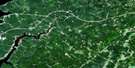
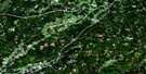
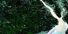
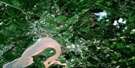
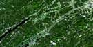
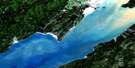
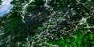
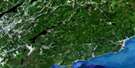
Sussex Satellite Image Map
Download Free Aerial Photo 021H12 at 1:50,000 scale
Sussex Satellite Imagery
To view this satellite map, mouse over the air photo on the right.
You can also download this satellite image map for free:
021H12 Sussex high-resolution satellite image map.
Maps for the Sussex aerial map sheet 021H12 at 1:50,000 scale are also available in these versions:
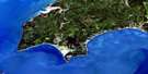
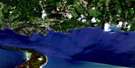
Sussex Surrounding Area Aerial Photo Maps
 |
 |
 |
 |
 |
 |
 |
 |
 |
 |
 |
 |
 |
 |
 |
 |
© Department of Natural Resources Canada. All rights reserved.
Sussex Gazetteer
The following places can be found on satellite image map 021H12 Sussex:
Sussex Satellite Image: Bays
Belleisle BayBig Cove
Browns Cove
Crafts Cove
Earle Cove
Erbs Cove
Jenkins Cove
Kingston Creek
Rouses Cove
Tennant Cove
Tennants Cove
Urquharts Cove
Sussex Satellite Image: Beaches
Webster BeachSussex Satellite Image: Capes
Anderson PointDutch Point
Grey Point
Greys Point
Kingston Peninsula
Long Point
Sussex Satellite Image: Geographical areas
HammondHampton
Kars
Kings
Kingston
Norton
Queens
Rothesay
Springfield
Studholm
Sussex
Upham
Wickham
Sussex Satellite Image: Islands
Darlings IslandGhost Island
Sussex Satellite Image: Lakes
Butler LakeByrnes Lake
Byrns Lake
Cassidy Lake
Cochrane Lake
Darlings Lake
De Forest (Cassidy) Lake
De Forest Lake
Erb Lake
Jack Lake
Kennebecasis Lake
Knapp Lake
Long Lake
McManus Lake
Nice Lake
Pickett Lake
Scribner Lake
Sussex Satellite Image: Military areas
Champ de manoeuvre SussexSussex Training Area
Sussex Satellite Image: Mountains
Bloomfield RidgeBoyles Hill
Bull Moose Hill
Cochrane Mountain
Dickie Mountain
Dug Hill
Foster Mountain
Fowler Mountain
Fox Hill
Frost Mountain
Hazel Hill
Hoyts Mountain
Kingston Hill
Marshall Hill
McShane Hill
Passekeag Ridge
Pickwauket Mountain
Pikwaket Mountain
Raymond Mountain
Saddleback Mountain
Vinegar Hill
Sussex Satellite Image: Conservation areas
Hampton GaolPrison de Hampton
Sussex Satellite Image: Plains
Elm FlatSussex Satellite Image: Rivers
Albright BrookAlmshouse Brook
Bates Brook
Bell Brook
Belleisle (Pascobac) Creek
Belleisle (Pascobac) Creek
Belleisle Creek
Bloomfield Brook
Byrnes Brook
Catchem Brook
Clements Brook
Cove Brook
Culligan Brook
Daley Brook
Devil Pike Brook
Dobson Brook
Duncan Brook
Elm Brook
First Run Brook
Fowler Brook
Gold Mine Gully
Grant Brook
Grassy Brook
Grooms Brook
Halfway Brook
Hamilton Brook
Hammond River
Henderson Brook
Henderson Brook
Irish Settlement Brook
Joliff Brook
Joliffs Brook
Jolly Creek
Jones Brook
Kennebecasis River
Ketchum Brook
Lake Brook
Lake Brook
MacDonalds Brook
McCarthy Brook
McDonald Brook
McGonagle Brook
McGregor Brook
McGregor Creek
Mercer Brook
Midland Brook
Mill Brook
Millstream River
Mitchell Brook
Moffatt Brook
Moosehorn Creek
Murphy Brook
Musquash Brook
North Branch Hammond River
North Hammond River
O'Neil Brook
Ossekeag Creek
Pascobac (Belleisle) Creek
Pascobac (Belleisle) Creek
Pascobac Brook
Pascobac Creek
Pascobac Creek
Pascobac Stream
Pascobac Stream
Passekeag Creek
Paticake Creek
Peters Brook
Peters Brook
Pickwauket Brook
Pikwaket Brook
Quigley Brook
Ravine Brook
Reddin Brook
Rouse Brook
Salt Springs Brook
Scoodic Brook
Second Run Brook
Sharpe Brook
Smith Creek
Smiths Creek
Snyder Brook
Spragg Brook
Stewarton Brook
Studholm Brook
Studholm Mill Stream
Studholms Mill Stream
Taylors Brook
Thompson Brook
Titus Brook
Trout Creek
Urquharts Brook
Vails Brook
Ward Creek
Wards Creek
Sussex Satellite Image: River features
Moffatt DeadwaterThe Oxbow
Sussex Satellite Image: Towns
HamptonQuispamsis
Sussex
Sussex Satellite Image: Unincorporated areas
Aiton SidingApohaqui
Belleisle
Belleisle Creek
Beulah
Bloomfield
Bloomfield Ridge
Bloomfield Station
Bull Moose Hill
Campbell
Campbell Settlement
Case
Case Settlement
Central Norton
Clover Hill
Crafts Cove
Devine Corner
Dickie Mountain
Drury Cove
Drurys Cove
Earle Wharf
Elm Brook
Elmhurst
Erb
Erb Settlement
Erbs Cove
Fox Hill
Gillies Corner
Gillis Corner
Hammondvale
Hampton Station
Hatfield Point
Henderson Settlement
Hillsdale
Joliff Brook
Joliffs Brook
Kars
Keirsteadville
Kingston
Kingston Corner
Lake Side
Lakeside
Long Point
Lower Cove
Lower Kars
Lower Kars
Lower Kingston
Lower Midland
Lower Millstream
Lower Norton
Marchbank
McCain Settlement
Mercer
Mercer Settlement
Midland
Norton Shore
Parleeville
Pascobac
Passekeag
Peekaboo Corner
Pikwaket Mountain
Poodiac
Poodiac
Ratter Corner
Riverbank
Roachville
Saddleback
Salina
Salt Springs
Searsville
Secord
Shannon
Southfield
Southfield Road
Springfield
Stewarton
Tennant Cove
Tennants Cove
The Grant
Tooleton
Upper Belleisle
Upper Midland
Upper Salt Springs
Upper Ward Creek
Upper Wards Creek
Upperton
Vinegar Hill
Wards Creek
West Scotch Settlement
Woodpecker Hall
Yankee Shore
Sussex Satellite Image: Low vegetation
Hampton MarshReickers Intervale
Sussex Satellite Image: Villages
Norton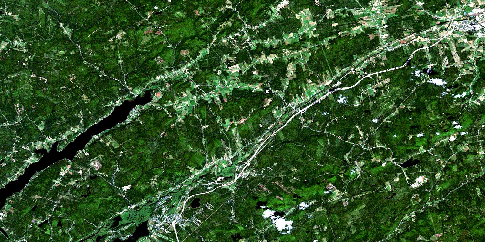
© Department of Natural Resources Canada. All rights reserved.
