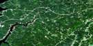
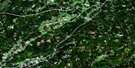
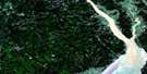
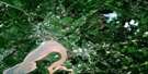
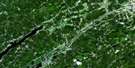
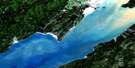
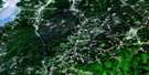
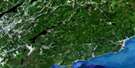
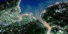
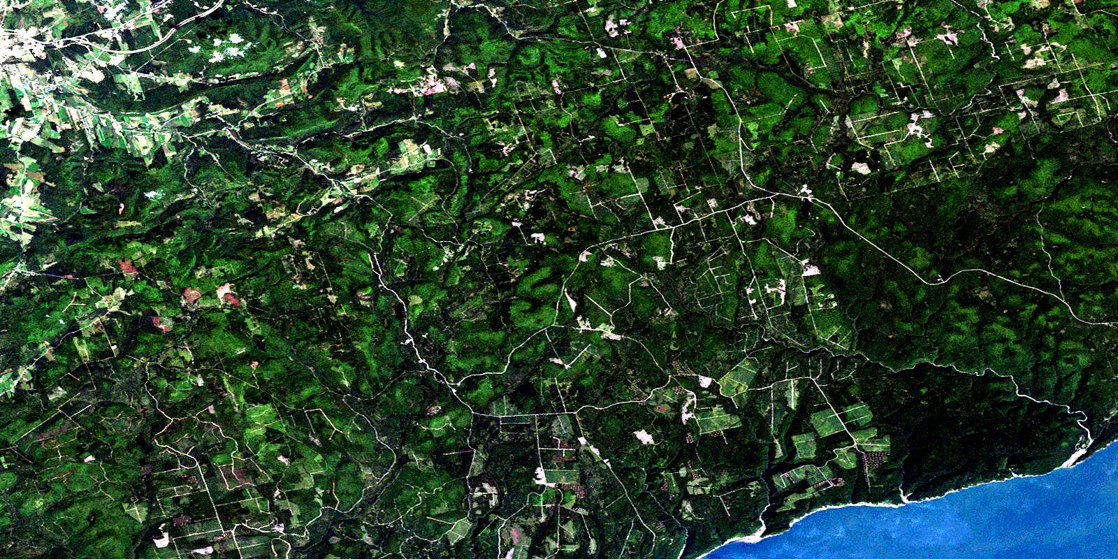
Waterford Satellite Image Map
Download Free Aerial Photo 021H11 at 1:50,000 scale
Waterford Satellite Imagery
To view this satellite map, mouse over the air photo on the right.
You can also download this satellite image map for free:
021H11 Waterford high-resolution satellite image map.
Maps for the Waterford aerial map sheet 021H11 at 1:50,000 scale are also available in these versions:
Waterford Surrounding Area Aerial Photo Maps
 |
 |
 |
 |
 |
 |
 |
 |
 |
 |
 |
 |
 |
 |
 |
 |
© Department of Natural Resources Canada. All rights reserved.
Waterford Gazetteer
The following places can be found on satellite image map 021H11 Waterford:
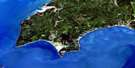
Waterford Satellite Image: Bays
Bay of FundyChignecto Bay
Mackerel Cove
Waterford Satellite Image: Beaches
Azors BeachAzor's Beach
Waterford Satellite Image: Capes
Point WolfPoint Wolfe
Waterford Satellite Image: Falls
Bennett Brook FallsLaverty Falls
Little Dam Falls
Wallace Falls
Waterford Satellite Image: Geographical areas
AlbertAlma
Cardwell
Elgin
Hammond
Kings
Saint John
Studholm
Sussex
Waterford
Waterford Satellite Image: Hydraulic construction
Armstrong DamWallace Dam
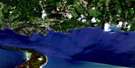
Waterford Satellite Image: Lakes
Arnold LakeBear Lakes
Bennett Lake
Bruin Lake
Cardigan Lake
Caribou Lake
Chambers Lake
Chisholm Lake
Christie Lake
Clark Lake
Crawford Lake
Crow Lake
Dave Ward Lake
DeCourcey Lake
Decoursey Lake
Dicks Lake
Dowdall Lake
Duffield Lake
Easter Lake
Elbow Lake
Flagnar Lake
Flagnar Lake
Flood Lake
Floods Lake
Grassy Lake
Grassy Lake
Grassy Lake
Hamilton Lake
Herbs Ponds
Jeffries Millpond
Kennedy Lake
Keyhole Lake
Lair Lake
Lake View
Laverty Lake
Little Caribou Lake
Manning Lake
Marven Lake
Meadow Lake
Mechanic Lake
Mechanics Lake
Pine Lake
Pleasant Lake
Pollett (Mechanics) Lake
Pollett Lake
Schoales Lake
Stony Lake
Tabor Lake
Tabor Lake
Taits Lake
Tracey Lake
Victor Lake
Walton Lake
Wilkins Lake
Wolf Lake
Wolfe Lake
Waterford Satellite Image: Military areas
Champ de manoeuvre SussexSussex Training Area
Waterford Satellite Image: Mountains
Aitons HillBig Bluff
Carty Mountain
Collier Mountain
Cripps Hill
Dickson Hill
Hastie Hill
Hubley Hill
Kilpatrick Hill
Mast Brow
McDermott Hill
McLeans Hill
McManus Hill
Picadilly Mountain
Piccadilly Mountain
Poley Mountain
Rossiter Hill
Saddleback Mountain
Waterford Satellite Image: Conservation areas
Fundy National Park of CanadaParc national du Canada Fundy
Waterford Satellite Image: Plains
Caribou PlainKyle Flat
Madden Flats
Waterford Satellite Image: Rivers
Anderson BrookArnold Brook
Ash Brook
Baskin Brook
Bennett Brook
Big Salmon River
Black Brook
Black Brook
Bonnell Brook
Brandy Brook
Brandy Brook
Broad Brook
Broad River
Bustin Brook
Bustin Brook
Cain Brook
Cains Brook
Campbell Brook
Caribou Lake Brook
Cedar Camp Brook
Chocolate Brook
Crow Brook
Culligan Brook
Drummond Stream
Duffy Brook
Dustan Brook
Dustin Brook
East Branch Goose Creek
East Branch Point Wolfe River
East Goose Creek
East Point Wolf River
East Point Wolfe River
Falls Brook
Felix Brook
Ferndale Brook
First Mile Brook
Flaglar Brook
Flat Running Brook
Foster Brook
Goose Creek
Goose River
Grassy Lake Brook
Haley Brook
Hammond River
Haslam Brook
Hastie Brook
Hueston Brook
Jim Brook
Keirstead Brook
Kelly Brook
Kennebecasis River
Kennedy Brook
Kennedy Lake Brook
Keyhole Brook
Kinnie Brook
Lake Brook
Laverty Brook
Little Bonnell Brook
Little Salmon River
MacLeod Brook
Manning Brook
Martin Head Stream
Matthews Brook
McLeod Brook
McMain Brook
Mechanic Lake Brook
Mile Brook
Mill Brook
Millpond Brook
Negro Brook
Nelson Brook
North East Branch Little Salmon River
Northeast Branch Little Salmon River
Northeast Little Salmon River
Parlee Brook
Parsons Brook
Pine Brook
Pine Brook
Point Wolf River
Point Wolfe River
Pollett River
Proctor Brook
Purtill Spring Brook
Quiddy River
Rapidy Brook
Rat Tail Brook
Rose Brook
Rossiter Brook
Saddleback Brook
Schoales Brook
Scholes Brook
Schoolhouse Brook
Second Mile Brook
Second Vault Brook
Shaffer Brook
Shannon Brook
Shear Brook
South Branch
Swamp Brook
Sweeney Brook
Tabor Brook
Telegraph Brook
Third Vault Brook
Tracey Lake Brook
Trout Creek
Upper Vault Brook
Victor Brook
Wallace Brook
Walton Brook
Walton Glen Brook
Ward Creek
Wards Creek
Wolf Brook
Waterford Satellite Image: River features
Easter DeadwaterLower Oxbow
Upper Oxbow
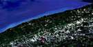
Waterford Satellite Image: Towns
SussexWaterford Satellite Image: Unincorporated areas
Cedar CampChambers Settlement
Church Hill
Donegal
Dutch Valley
Goose Creek
Hammondvale
Jeffrey
Jeffries Corner
Lisson Settlement
Lissonville
Londonderry
Long Settlement
Lonsdale
Markhamville
Mechanic Settlement
Mechanics Settlement
Mitchells Corner
New Ireland
New Line Road
Parlee Brook
Picadilly
Piccadilly
Plumweseep
Rockville
Ross Corner
South Branch
Sproul Settlement
Urney
Walker Settlement
Waterford
Waterford Satellite Image: Valleys
Purtill HollowRobinson Hollow
Skunk Hollow
Waterford Satellite Image: Villages
SussSussex Corner
© Department of Natural Resources Canada. All rights reserved.
