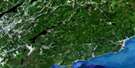
Alma Satellite Image Map
Download Free Aerial Photo 021H10 at 1:50,000 scale
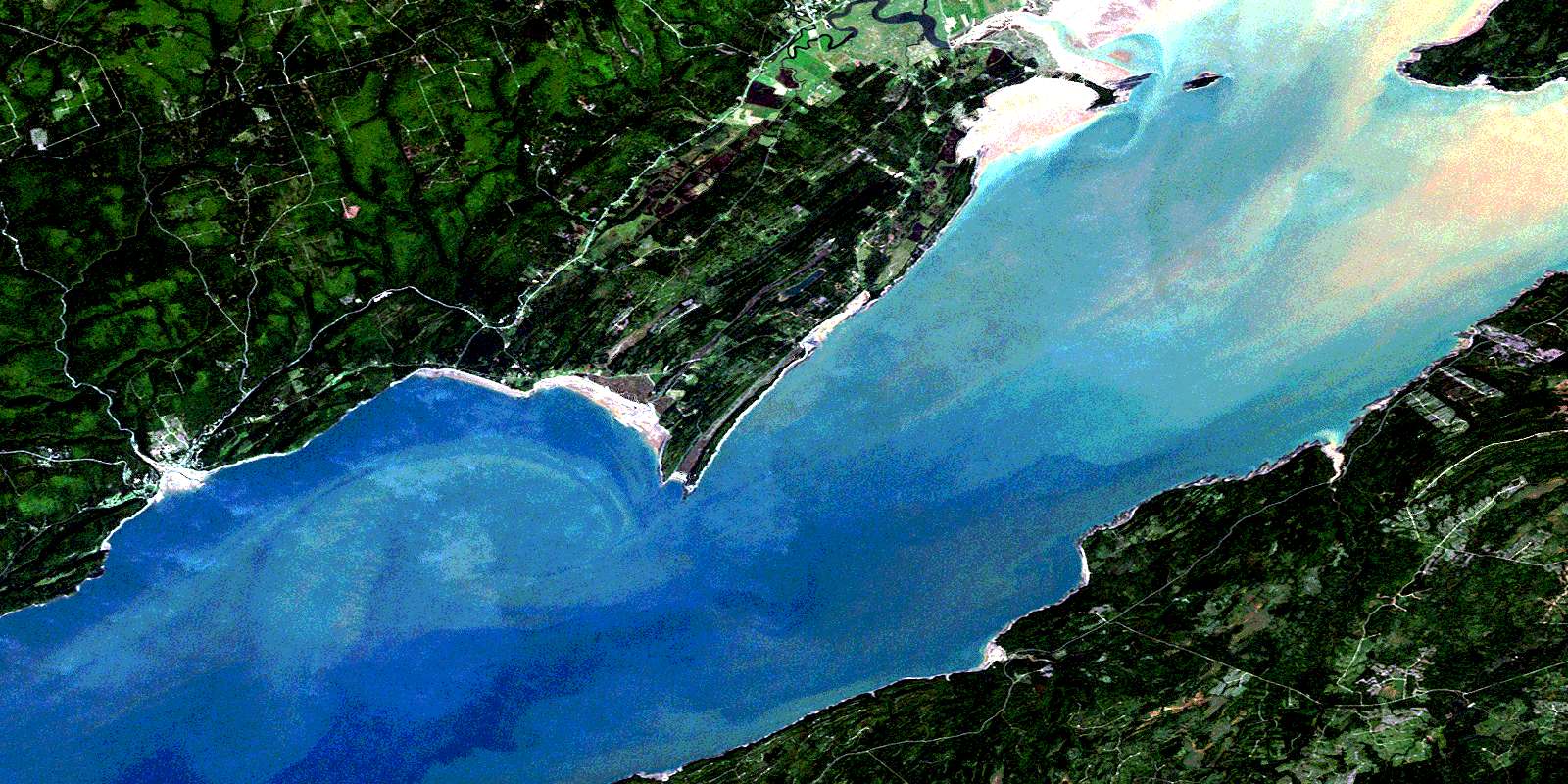
Alma Satellite Imagery
To view this satellite map, mouse over the air photo on the right.
You can also download this satellite image map for free:
021H10 Alma high-resolution satellite image map.
Maps for the Alma aerial map sheet 021H10 at 1:50,000 scale are also available in these versions:
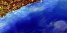
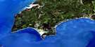
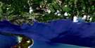
Alma Surrounding Area Aerial Photo Maps
 |
 |
 |
 |
 |
 |
 |
 |
 |
 |
 |
 |
 |
 |
 |
 |
© Department of Natural Resources Canada. All rights reserved.
Alma Gazetteer
The following places can be found on satellite image map 021H10 Alma:
Alma Satellite Image: Bays
Birch CoveChignecto Bay
Chignecto Bay
Clam Cove
Herring Cove
Indian Cove
Marys Cove
Rocher Bay
Salisbury Bay
Sand Cove
Shepody Bay
Slacks Cove
Two Rivers Inlet
Alma Satellite Image: Beaches
Big BarBray Beach
Dennis Beach
Maringouin Flats
New Horton Flats
Shepody Flats
Waterside Beach
Alma Satellite Image: Capes
Birch Cove HeadCape Enrage
Cape Enragé
Cape Maringouin
Cranberry Head
Inner Head
Joel Head
Lower Point
Mary Point
Marys Point
Matthews Head
Outer Head
Owl Head
Owls Head
Ragged Point
Raven Head
Red Head
Alma Satellite Image: Channels
South ChannelAlma Satellite Image: Cliffs
Devils Half AcreAlma Satellite Image: Falls
Dickson FallsMatch Factory Falls
Third Vault Falls
Alma Satellite Image: Geographical areas
AlbertAlma
Cumberland
Elgin
Harvey
Hopewell
Sackville
Saint Martins
Westmorland
Alma Satellite Image: Islands
Barn Marsh IslandGrindstone Island
Indian Island
Long Island
Squaws Cap
Tom Island
Toms Island
Alma Satellite Image: Lakes
Alcorn PondApple River Lake
Beaver Pond
Beaverdam Lake
Fenton Lake
Fenton Pond
Livingstone Lake
Lockhart Lake
Long Marsh Lake
McFadden Lake
McLaren Pond
New Horton Lake
Priest Lake
Richardson Lake
Sloan Lake
Square Lake
Taylor Lake
Alma Satellite Image: Mountains
Bucket HillCasey Hill
Devils Hill
Doyle Hill
Hastings Hill
Little Ridge
Mount Gideon
Sinclair Hill
Squaw Cap
West River Mountain
Alma Satellite Image: Major municipal/district area - major agglomerations
CumberlandAlma Satellite Image: Conservation areas
Chignecto Game SanctuaryFundy National Park of Canada
Parc national du Canada Fundy
Réserve nationale de faune de Shepody
Shepody National Wildlife Area
Alma Satellite Image: Plains
Tompkin PlainsAlma Satellite Image: Provinces
New BrunswickNouveau-Brunswick
Nouvelle-Écosse
Nova Scotia
Alma Satellite Image: Rivers
Alcorn BrookAnderson Hollow Brook
Apple Creek
Ash Brook
Barn Marsh Creek
Barrett Brook
Bearden Brook
Beaver Brook
Birch Cove Brook
Broad River
Chapman Creek
Cherry Brook
Cleveland Brook
Comstock Creek
Crank Brook
Crooked Creek
Daley Brook
Dickson Brook
Duffy Brook
Duffys Millstream
East Branch Sand River
Fairy Creek
Fall Brook
Fall Down Brook
Fitzgibbon Brook
Flat Brook
Flat Brook
Forty Five River
Fortyfive River
Greenough Brook
Halfway River
Hay Brook
Horn Brook
Hueston Brook
Keirstead Brook
Kelley River
Kelley River (Mill Creek)
Kelly River
Kinnie Brook
Lake Brook
Little Shulie River
Little Stream
Long Marsh Creek
Long Reach Brook
Lower Maple Creek
Lower Vault Brook
Macaloney Brook
McGee Brook
McGee Brook
Mill Creek
Mitchell Mills Brook
New Horton Creek
Newfoundland Creek
North River
One Mile Brook
Paint Mine Brook
Pine Brook
Priest Brook
Rocher Horn Creek
Sand River
Sawmill Creek
Second Vault Brook
Shepody River
Shepody River
Shulie River
Spring Brook
Third Vault Brook
Tingley Brook
Toms Brook
Two Mile Brook
Two Rivers Creek
Twomile Brook
Upper Maple Creek
Upper Salmon (Alma) River
Upper Salmon River
Upper Vault Brook
West River
Wilson Brook
Alma Satellite Image: Shoals
Grindstone ShoalJones Ledge
Jones's Ledge
Maringouin Shoal
Marys Point Reef
Middle Ground
St. Mary Ledge
Alma Satellite Image: Unincorporated areas
Beaver BrookBrookville
Cape Enrage
Cape Enragé
Derrys Corner
Germantown
Harvey
Harvey Bank
Hebron
Little Ridge
Little Rocher
Lower Rockport
Midway
New Horton
Point Wolf
Rockport
Sand River
Shulie
Teahans Corner
Upper New Horton
Waterside
West River
Alma Satellite Image: Valleys
Anderson HollowHells Kitchen
Hums Hollow
Alma Satellite Image: Low vegetation
Apple River BogBarn Marsh
Beaver Brook Marsh
Bucktagen Barrens
Germantown Marsh
Jacksonville Swamp
Jenks Meadow
Long Marsh
Mitchell Meadows
Muddy Plains
New Horton Marsh
Point Marsh
Shepody Marsh
Waterside Marsh
Alma Satellite Image: Villages
AlmaRiverside-Albert
© Department of Natural Resources Canada. All rights reserved.
