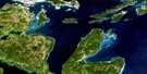
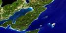
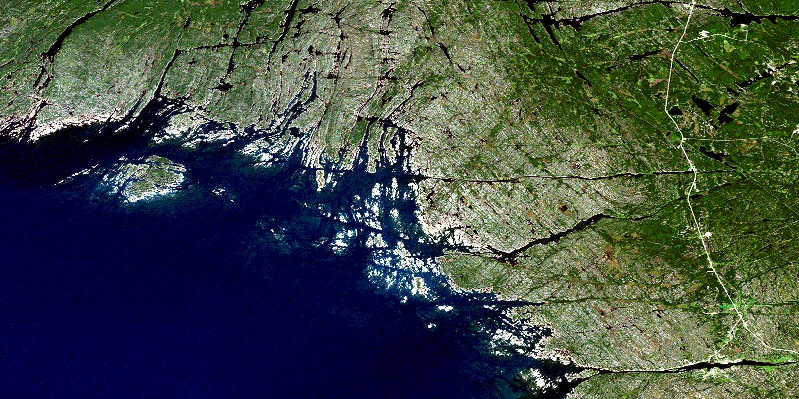
Key Harbour Satellite Image Map
Download Free Aerial Photo 041H15 at 1:50,000 scale
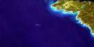
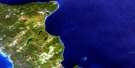
Key Harbour Satellite Imagery
To view this satellite map, mouse over the air photo on the right.
You can also download this satellite image map for free:
041H15 Key Harbour high-resolution satellite image map.
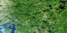
Maps for the Key Harbour aerial map sheet 041H15 at 1:50,000 scale are also available in these versions:
Key Harbour Surrounding Area Aerial Photo Maps
 |
 |
 |
 |
 |
 |
 |
|
 |
 |
||
 |
 |
 |
© Department of Natural Resources Canada. All rights reserved.
Key Harbour Gazetteer
The following places can be found on satellite image map 041H15 Key Harbour:
Key Harbour Satellite Image: Bays
Baie GeorgienneBeacon Rock Bay
Black Bay
Boulders Bay
Bowens Bay
Bustard Islands Harbour
Byng Inlet
David's Bay
Deep Bay
Fox Bay
Garbage Bay
Genessee Bay
Georgian Bay
Henvey Inlet
Key Bay
Key Harbour
Laramie Bay
Loading Cove
Macdougal Bay
Mill Pond Bay
Moose Bay
Moosehorn Bay
Muskrat Bay
Northeast Harbour
Otter Bay
Robinson's Bay
Sand Bay
Sand Bay
Sandy Bay
Scow Bay
Smith Bay
The Creek
The Flower Pot
The Key
Watts Bend
Whistler Bay
Whitefish Bay
Wilcox Cove
Key Harbour Satellite Image: Capes
Bad River PointBend Point
Bluff Point
Cantin Point
Dokis Point
Gatacre Point
Kantos Point
Lamondin Point
Northeast Point
Pincer Point
Pine Tree Point
Pinetree Point
Potvin Point
South Point
The Elbow
Tramway Point
Key Harbour Satellite Image: Channels
Bad River ChannelBadriver Channel
Canoe Channel
Coral Channel
Cross Channel
Cross Narrows
Cunninghams Channel
Davis Channel
Dead Island Channel
Eastern Outlet
Free Drinks Passage
French River Western Channel
Little Canoe Channel
Lodge Channel
Lovers Lane
North Channel
North Channel
Northeast Passage
Old Voyageur Channel
Parting Channel
Rabbit Narrows
Rogers Gut
The Five Fingers
The Gun Barrel
Twin Narrows
Voyageur Channel
Western Channel
Western Channel (French River)
Whale's Mouth
Wicks Channel
Key Harbour Satellite Image: Falls
Devil Gap FallsHerring Chute
Herring Chutes
Liley Chutes
Key Harbour Satellite Image: Geographical areas
HenveyMowat
Parry Sound
Struthers
Sudbury
Travers
Wallbridge
Key Harbour Satellite Image: Indian Reserves
French River 13French River Indian Reserve 13
Henvey Inlet 2
Henvey Inlet Indian Reserve 2
Magnetawan Indian Reserve 1
Réserve indienne French River 13
Réserve indienne Henvey Inlet 2
Réserve indienne Magnetawan 1
Key Harbour Satellite Image: Islands
Ab IslandBekanon Island
Beresford Island
Bigsby Island
Bigwood Island
Brock Island
Burnt Island
Burnt Island
Bustard Islands
Camp Island
Cantin Island
Cash Island
Castle Island
Cedar Island
Champlain Island
Cherry Island
Chimney Island
Churchill Islands
Clark Island
Clark Island
Clark Islands
Clark Islands
Clark Islands
Claw Island
Cunninghams Island
Dead Island
Depot Island
Dock Island
Doctor Oil Island
Doiron Island
Dokis Island
Dreavers Island
Fifteen Mile Island
Finger Island
Flat Island
Flowerpot Islands
Fourteen Mile Island
Fox Island
France Island
French River Island
Gateway Islands
Germain Island
Gladstone Island
Golden Sword Island
Gooseberry Island
Graburn Island
Green Island
Green Island
Gun Island
Hahn Island
Harbour Island
Henvey Islands
Herschel Island
Highland Home
Humbum Island
James Island
Keefer Island
Keefer Islands
King's Island
Lash Island
Lefroy Island
Lincoln Island
Lombiere Island
Long Island
Magee Island
Major Island
Mann Island
McDougal Island
Meaford Island
Merranger's Island
Mica Island
Northeast Island
Obstacle Island
Old Mill Island
One Tree Island
Outer Fox Islands
Pearl Island
Pine Island
Porcupine Island
Pratt Island
Puddick Island
Queenie Island
Rabbit Island
Ridout Islands
Rogers Island
Sabine Island
Salisbury Island
Silent Island
Strawberry Island
Tanvat Island
Tarpot Island
The Shirt Tails
Tie Island
Twin Islands
Umbrella Island
Vixen Island
Wedge Island
Windreach Island
Key Harbour Satellite Image: Lakes
Bass LakeBucke Lake
Burke Lake
Cantin Lake
Clear Lake
Fox Lake
Grundy Lake
Gurd Lake
Gut Lake
Lake Huron
Nisbet Lake
Pakeshkag Lake
Pike Lake
Portage Lake
Rock Lake
Straight Lake
Tower Lake
Trestle Gully Lake
Walter Lake
Key Harbour Satellite Image: Other municipal/district area - miscellaneous
Rutherford and George IslandKey Harbour Satellite Image: Conservation areas
French River Provincial ParkGrundy Lake Provincial Park
Key Harbour Satellite Image: Rapids
Big Jameson RapidsCrooked Rapids
Dalles Rapids
Devil Door Rapids
Devil Gap Rapids
Dorés Run
Little Jameson Rapids
Rogers Run
Key Harbour Satellite Image: Rivers
Bass CreekBekanon Creek
Black Creek
Dalles Creek
Eastern Outlet
Eastern Outlet (French River)
Fox Creek
French River
French River (Eastern Outlet)
French River (Main Outlet)
French River Eastern Outlet
Key River
Little Key River
Magnetawan River
Main Outlet
Main Outlet (French River)
Nisbet Creek
Pakeshkag River
Pickerel River
Rivière des Français
South Channel
Still River
Sucker Creek
Key Harbour Satellite Image: Shoals
Ab ShoalAlwin Rock
Bagot Rock
Barclay Rock
Beacon Rock
Belize Rock
Bessener Rock
Black Rock
Borron Rock
Bray Reef
Britton Rock
Britton Shoal
Burke Shoal
Burton Bank
Bustard Rocks
Camel Rock
Camel Rocks
Cherokee Rock
Cherokee Rocks
Counts Bank
Cross Ledge
Dead Island Reef
Dingy Rock
Edsall Bank
Elgin Rock
Everard Reef
Flat Rock
Frances Smith Shoal
Goldwin Rock
Guano Rock
Gull Rocks
Hall Rock
Hanna Bank
Hardie Rock
Keystone Rock
Loaf Rock
Lynch Rock
Macoun Rock
Mary Grant Rock
McLean Shoal
McNab Rocks
Middle Reef
Minnie Rock
Murray Rocks
Northwest Bank
Ossifrage Rock
Perkins Rock
Perley Rock
Phillips Shoal
Pratt Reef
Queen Reef
Ruel Reef
Ruel Shoal
Seymour Rock
Sibald Rock
Solitary Rock
Southeast Rock
Southwest Rock
The Fingerboards
Turnaway Rock
Turning Rock
Wicksteed Rock
Zachary Rock
Key Harbour Satellite Image: Towns
KillarneyNortheastern Manitoulin and the Islands
Key Harbour Satellite Image: Unincorporated areas
BekanonBritt
Britt Station
Byng Inlet
Byng Inlet North
Cranberry
Cranberry
Cranberry Lake
French River
Key Harbour
Key Junction
Key River
Ludgate
Pakesley
Pickerel
Still River
Wanikewin
© Department of Natural Resources Canada. All rights reserved.
