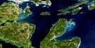
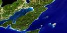
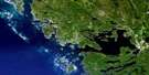
Dyer's Bay Satellite Image Map
Download Free Aerial Photo 041H03 at 1:50,000 scale
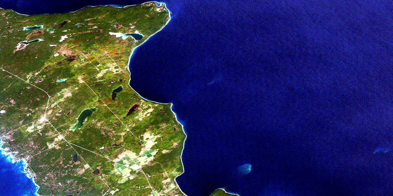
Dyer's Bay Satellite Imagery
To view this satellite map, mouse over the air photo on the right.
You can also download this satellite image map for free:
041H03 Dyer's Bay high-resolution satellite image map.
Maps for the Dyer's Bay aerial map sheet 041H03 at 1:50,000 scale are also available in these versions:
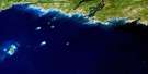
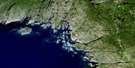
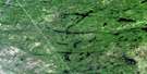
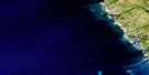
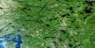
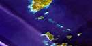
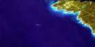
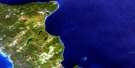
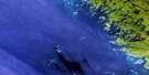
Dyer's Bay Surrounding Area Aerial Photo Maps
 |
 |
 |
 |
 |
 |
 |
|
 |
 |
||
 |
 |
 |
© Department of Natural Resources Canada. All rights reserved.
Dyer's Bay Gazetteer
The following places can be found on satellite image map 041H03 Dyer's Bay:
Dyer's Bay Satellite Image: Bays
Baie GeorgienneBradley Harbour
Dyer Bay
Dyer's Bay
French Bay
French Harbour
Georgian Bay
Isthmus Bay
Larsen Cove
Little Pine Tree Harbour
McKay's Harbour
Pine Tree Harbour
Pleasant Bay
Pleasant Harbour
Rocky Bay
Whippoorwill Bay
Wingfield Basin
Dyer's Bay Satellite Image: Capes
Bruce PeninsulaCabot Head
Cape Chin
Cave Point
Gun Point
Juno Point
Lighthouse Point
Lionhead
Lion's Head
Lion's Head Point
Pleasant Point
Scotch Thistle Point
Sibert Point
Silversides Point
Smokey Head
Smoky Head
Wingfield Point
Dyer's Bay Satellite Image: Cliffs
South BluffWest Bluff
Dyer's Bay Satellite Image: Geographical areas
BruceEastnor
Lindsay
St. Edmunds
Dyer's Bay Satellite Image: Hydraulic construction
Swan Lake DrainDyer's Bay Satellite Image: Indian Reserves
Cape Croker Hunting Ground 60BCape Croker Hunting Ground Indian Reserve 60B
Réserve indienne Cape Croker Hunting Ground 60B
Réserve indienne Saugeen Hunting Grounds 60A
Saugeen and Cape Croker Fishing Islands 1
Saugeen Hunting Grounds Indian Reserve 60A
Dyer's Bay Satellite Image: Islands
Franklin IslandPleasant Isle
Zinkan Island
Dyer's Bay Satellite Image: Lakes
Ague LakeBartley Lake
Britain Lake
Clear Lake
Conley Lake
Crane Lake
Emmett Lake
George Lake
Gillies Lake
Ira Lake
Lac Huron
Lake Huron
Lower Andrew Lake
Lymburner Lake
Marley Lake
Miller Lake
Moore Lake
Otter Lake
Quenlin Lake
Shouldice Lake
Twin Marsh Lakes
Umbrella Lake
Upper Andrew Lake
Warder Lake
Dyer's Bay Satellite Image: Mountains
Boulder BluffMiddle Bluff
The Forty Hills
White Bluff
Dyer's Bay Satellite Image: Major municipal/district area - major agglomerations
BruceDyer's Bay Satellite Image: Other municipal/district area - miscellaneous
EastnorLindsay
Northern Bruce Peninsula
St. Edmunds
Dyer's Bay Satellite Image: Conservation areas
Bruce Peninsula National Park of CanadaCabot Head Provincial Nature Reserve
Cyprus Lake Provincial Park
Ira Lake Provincial Nature Reserve
Johnston Harbour-Pine Tree Point Provincial Nature Reserve
Lions Head Provincial Nature Reserve
Lion's Head Provincial Nature Reserve
Parc national du Canada de la Péninsule-Bruce
Smokey Head/White Bluff Provincial Nature Reserve
Dyer's Bay Satellite Image: Rivers
Brinkman's CreekChin Creek
Crane River
Sadler Creek
Sideroad Creek
Spring Creek
Stokes River
Willow Creek
Dyer's Bay Satellite Image: Shoals
Darling ReefEight Fathom Patch
Jackson Shoal
Loaf Rock
Surprise Shoal
Dyer's Bay Satellite Image: Unincorporated areas
Brinkman CornersBrinkmans Corners
Brinkman's Corners
Cape Chin
Cape Chin North
Cape Chin South
Clarke's Corners
Dyer Bay
Dyer's Bay
Gillies Lake
McVicar
Miller Lake
Miller Lake East
Miller Lake West
Monument Corners
Stokes Bay
Dyer's Bay Satellite Image: Low vegetation
Big MarshHorseshoe Marsh
Shingle Marsh
© Department of Natural Resources Canada. All rights reserved.
