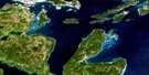
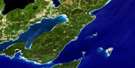
Dorcas Bay Satellite Image Map
Download Free Aerial Photo 041H04 at 1:50,000 scale
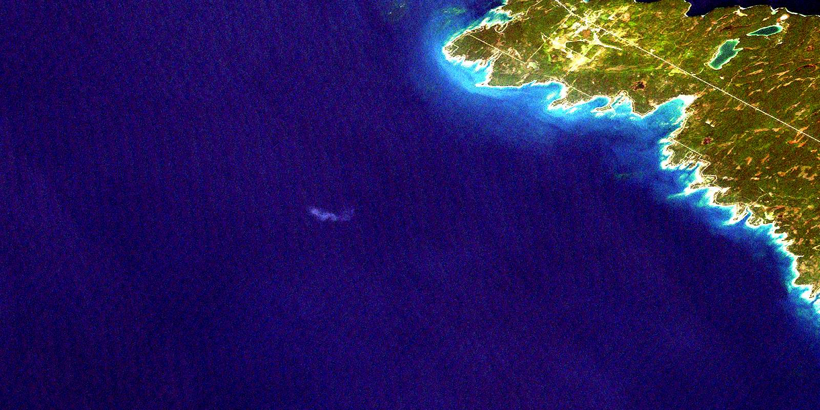
Dorcas Bay Satellite Imagery
To view this satellite map, mouse over the air photo on the right.
You can also download this satellite image map for free:
041H04 Dorcas Bay high-resolution satellite image map.
Maps for the Dorcas Bay aerial map sheet 041H04 at 1:50,000 scale are also available in these versions:
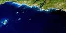
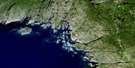
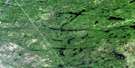
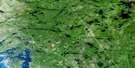
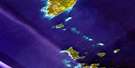
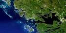
Dorcas Bay Surrounding Area Aerial Photo Maps
 |
 |
 |
 |
 |
 |
 |
|
 |
 |
||
 |
 |
 |
© Department of Natural Resources Canada. All rights reserved.
Dorcas Bay Gazetteer
The following places can be found on satellite image map 041H04 Dorcas Bay:
Dorcas Bay Satellite Image: Bays
Baie GeorgienneBaptist Harbour
China Cove
Corisande Bay
Dorcas Bay
Driftwood Cove
Dunks Bay
Eagle Harbour
Fisherman Cove
Georgian Bay
Hay Bay
Hopkins Bay
Indian Harbour
Johnston Harbour
Johnston's Harbour
Ladyslipper Bay
Little Cove
Little Eagle Harbour
Murray Bay
Pine Tree Harbour
Ragged Bight
Warner Bay
Dorcas Bay Satellite Image: Beaches
Boulder BeachDorcas Bay Satellite Image: Capes
Bruce PeninsulaCape Hurd
Coal Oil Point
Deadman Point
Eagle Point
Halfway Rock Point
Hopkins Point
Johnston Point
Johnston's Point
Long Point
Overhanging Point
Pendall Point
Pine Tree Point
Porcupine Point
Terry Point
Warner Point
Dorcas Bay Satellite Image: Channels
Cape Hurd ChannelDevil Island Channel
Dorcas Bay Satellite Image: Geographical areas
BruceSt. Edmunds
Dorcas Bay Satellite Image: Indian Reserves
Cape Croker Hunting Ground Indian Reserve 60BRéserve indienne Cape Croker Hunting Ground 60B
Réserve indienne Saugeen Hunting Grounds 60A
Saugeen Hunting Grounds 60A
Saugeen Hunting Grounds Indian Reserve 60A
Dorcas Bay Satellite Image: Islands
Baptist IslandBonnet Island
Youell Island
Zinkan Island
Dorcas Bay Satellite Image: Lakes
Barney LakeCameron Lake
Cyprus Lake
Horse Lake
Lac Huron
Lake Huron
Loon Lake
Marr Lake
Scugog Lake
Dorcas Bay Satellite Image: Major municipal/district area - major agglomerations
BruceDorcas Bay Satellite Image: Other municipal/district area - miscellaneous
EastnorLindsay
Northern Bruce Peninsula
St. Edmunds
Dorcas Bay Satellite Image: Conservation areas
Bruce Peninsula National Park of CanadaCabot Head Provincial Nature Reserve
Cyprus Lake Provincial Park
Fathom Five National Marine Park of Canada
Fathom Five Provincial Park
Johnston Harbour-Pine Tree Point Provincial Nature Reserve
Little Cove Provincial Nature Reserve
Parc marin national du Canada Fathom Five
Parc national du Canada de la Péninsule-Bruce
Dorcas Bay Satellite Image: Rivers
Brinkman CreekBrinkman's Creek
Crane River
Sideroad Creek
Willow Creek
Dorcas Bay Satellite Image: Shoals
Arbutus RockBaptist Rock
Campbell Reef
Cataract Rock
China Reef
Earl Patches
Gilphie Reef
Huntress Reef
Porcupine Reef
Southeast Bank
Southwest Bank
Dorcas Bay Satellite Image: Low vegetation
Horseshoe MarshMcLander Marsh
Threeway Swamp
Whiskey Still Marsh
William Henry Marsh
© Department of Natural Resources Canada. All rights reserved.
