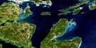
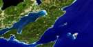
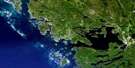
Manitowaning Satellite Image Map
Download Free Aerial Photo 041H12 at 1:50,000 scale
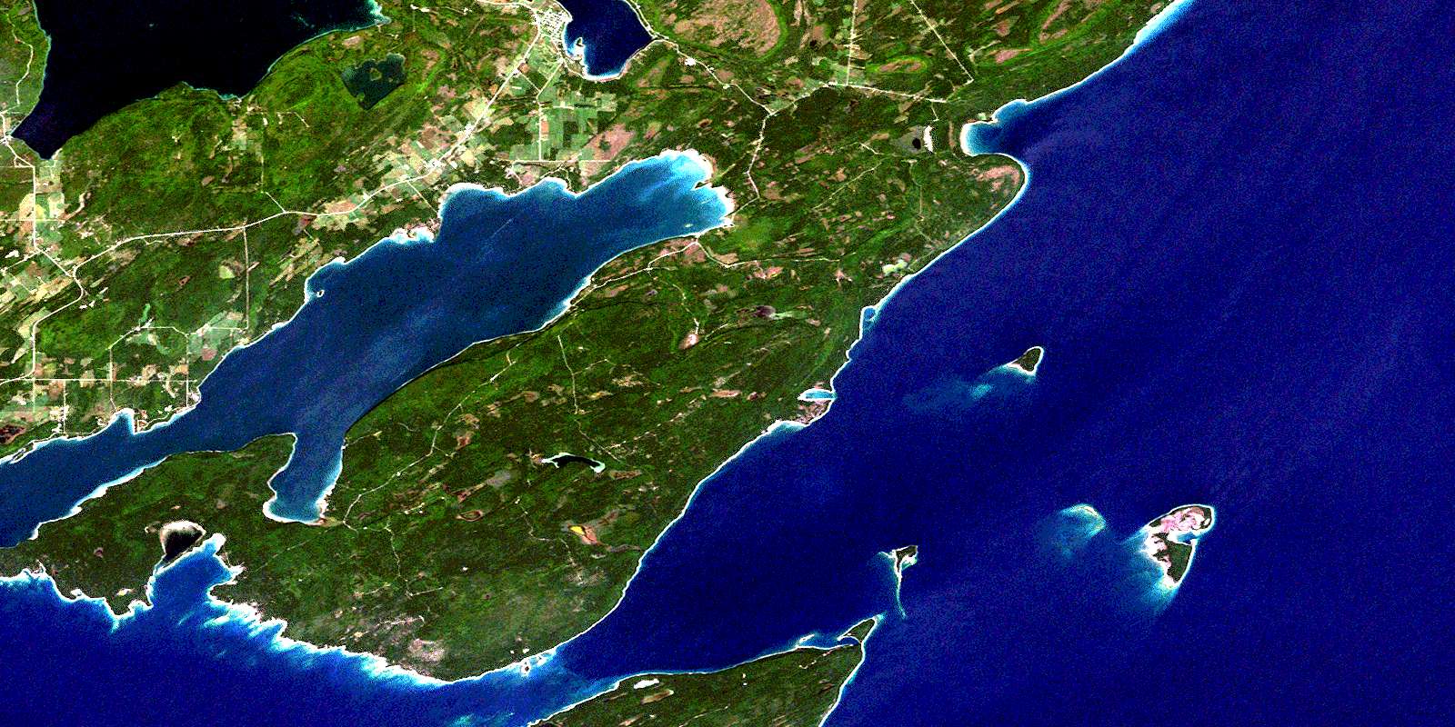
Manitowaning Satellite Imagery
To view this satellite map, mouse over the air photo on the right.
You can also download this satellite image map for free:
041H12 Manitowaning high-resolution satellite image map.
Maps for the Manitowaning aerial map sheet 041H12 at 1:50,000 scale are also available in these versions:
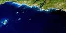
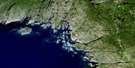
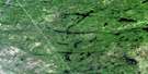
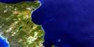
Manitowaning Surrounding Area Aerial Photo Maps
 |
 |
 |
 |
 |
 |
 |
|
 |
 |
||
 |
 |
 |
© Department of Natural Resources Canada. All rights reserved.
Manitowaning Gazetteer
The following places can be found on satellite image map 041H12 Manitowaning:
Manitowaning Satellite Image: Bays
Back CoveBaie Georgienne
Charlton Bay
Club Harbour
Eagle's Nest Bay
Frood's Harbour
Froude Bay
Georgian Bay
James Bay
Leask Bay
Leason Bay
Leeson Bay
Long Gut
Manitowaning Bay
North Cove
Rattlesnake Harbour
Redcliff Bight
Roberts Bay
Sandfield Bay
Shallow Cove
Sims Bay
South Bay
Stephens Cove
Tamarack Cove
Tamarack Harbour
Thomas Bay
Turtle Creek Bay
Wanoshkang Bay
Manitowaning Satellite Image: Beaches
Kaboni BeachNabakwaneing
Wababikok
Manitowaning Satellite Image: Capes
Beach PointBenson Point
Brennan's Point
Clark's Point
Fishery Point
Harcus Point
Horsburgh Point
Hungerford Point
Leask Point
Maple Point
Narrow Point
Northeast Point
Pond Point
Rattlesnake Point
South Point
South Spit
Stony Point
Tamarack Point
Thomas Point
Manitowaning Satellite Image: Channels
Erie ChannelOwen Channel
The Narrows
Manitowaning Satellite Image: Cliffs
Clay CliffGibraltar Cliff
Little Bluff
South Bluff
White Cliff
Manitowaning Satellite Image: Geographical areas
AssiginackManitoulin
Sandfield
Tehkummah
Manitowaning Satellite Image: Indian Reserves
Réserve indienne Wikwemikong Unceded 26Wikwemikong Unceded 26
Wikwemikong Unceded Indian Reserve 26
Manitowaning Satellite Image: Islands
Club IslandErie Shingle
Fanny Island
Fitzwilliam Island
Little Island
Lonely Island
Manitoulin Island
Maple Island
Mayflower Island
Owen Island
Rabbit Island
Sims Island
Wall Island
Manitowaning Satellite Image: Lakes
Kadiginebik LakeLac Huron
Lake Huron
Lake Manitou
Mitigonaganing Lake
Quanja Lake
Redrock Lake
Sucker Lake
Manitowaning Satellite Image: Mountains
Burnt SummitChurch Hill
Copper Rock
Fossil Hill
Horsburgh Hill
The Rock
Manitowaning Satellite Image: Other municipal/district area - miscellaneous
AssiginackCarnarvon
Central Manitoulin
Howland
Sandfield
Tehkummah
Manitowaning Satellite Image: Rivers
Blue Jay CreekKaboni Creek
Manitou River
Rogers Creek
Wakwagami Creek
Manitowaning Satellite Image: Shoals
Acre ShoalBeach Point Flat
Channel Rock
Club Island Ledge
Erie Bank
Glycerine Rock
Grantham Shoal
North Reef
Owen Island Bank
Pope Rock
Rabbit Island Bank
Ship Bank
Stewart Rock
The Ridge
The Wall
Todman Reef
Vigilant Rock
West Flat
Manitowaning Satellite Image: Towns
Northeastern Manitoulin and the IslandsManitowaning Satellite Image: Unincorporated areas
Clover ValleyEagles Nest
Hilly Grove
Kaboni
Manitowaning
Sandfield
Squirrel Town
The Slash
Two O'Clock
Wikwemikongsing
Wikwemikonsing
© Department of Natural Resources Canada. All rights reserved.
