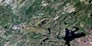
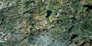
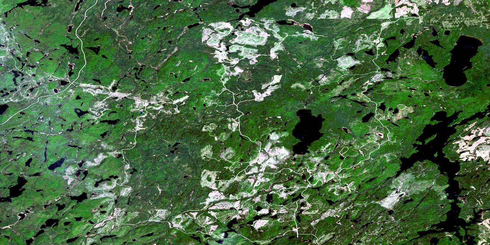
Anahareo Lake Satellite Image Map
Download Free Aerial Photo 042C10 at 1:50,000 scale
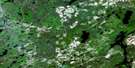
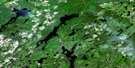
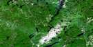
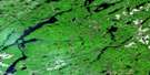
Anahareo Lake Satellite Imagery
To view this satellite map, mouse over the air photo on the right.
You can also download this satellite image map for free:
042C10 Anahareo Lake high-resolution satellite image map.
Maps for the Anahareo Lake aerial map sheet 042C10 at 1:50,000 scale are also available in these versions:
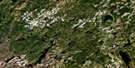
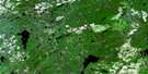
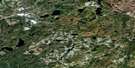
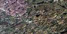
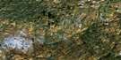
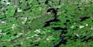
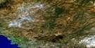
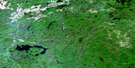
Anahareo Lake Surrounding Area Aerial Photo Maps
 |
 |
 |
 |
 |
 |
 |
 |
 |
 |
 |
 |
 |
 |
 |
 |
© Department of Natural Resources Canada. All rights reserved.
Anahareo Lake Gazetteer
The following places can be found on satellite image map 042C10 Anahareo Lake:
Anahareo Lake Satellite Image: Falls
Honeymoon FallsAnahareo Lake Satellite Image: Geographical areas
6162
63
Atkinson
Broughton
Cooper
Cudney
Doucett
McGowan
Mosambik
Nameigos
Odlum
Pearkes
Strickland
Tedder
Tilston
Anahareo Lake Satellite Image: Lakes
Anaharea LakeAnahareo Lake
Duffy Lake
Esnagi Lake
Joselin Lake
Kabiskagami Lake
Kawaweagama Lake
Little Round Lake
Mosambik Lake
Mountain Lake
Nameigos Lake
North Wejinabikun Lake
Strickland Lake
Upper Duffy Lake
Upper Kawaweagama Lake
Upper Magpie Lake
Wejinabikun Lake
Anahareo Lake Satellite Image: Rivers
Anaharea CreekAnahareo Creek
Crique Tripoli
Joselin Creek
Kabinakagami River
Kawaweagama Creek
Magpie River
Medhurst Creek
Nameigos River
Rivière Magpie
Ryerson Creek
Tedder River
Tripoli Creek
© Department of Natural Resources Canada. All rights reserved.
042C Related Maps:
042C White River042C01 Manitowik Lake
042C02 Hawk Junction
042C03 Mishibishu Lake
042C04 Pukaskwa River
042C05 Lurch Lake
042C06 Pokei Lake
042C07 Medhurst Creek
042C08 Franz
042C09 Oba Lake
042C10 Anahareo Lake
042C11 White River
042C12 Cedar Lake
042C13 White Lake
042C14 Kwinkwaga Lake
042C15 Gourlay Lake
042C16 Kabinakagami Lake
