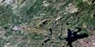
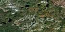
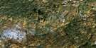
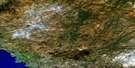
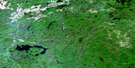
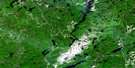
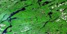
White Lake Satellite Image Map
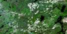
Download Free Aerial Photo 042C13 at 1:50,000 scale
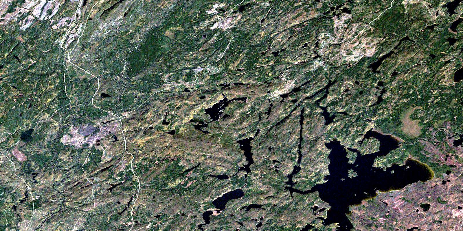
White Lake Satellite Imagery
To view this satellite map, mouse over the air photo on the right.
You can also download this satellite image map for free:
042C13 White Lake high-resolution satellite image map.
Maps for the White Lake aerial map sheet 042C13 at 1:50,000 scale are also available in these versions:
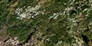
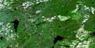
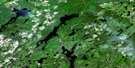
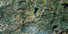
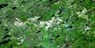
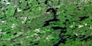
White Lake Surrounding Area Aerial Photo Maps
 |
 |
 |
 |
 |
 |
 |
 |
 |
 |
 |
 |
 |
 |
 |
 |
© Department of Natural Resources Canada. All rights reserved.
White Lake Gazetteer
The following places can be found on satellite image map 042C13 White Lake:
White Lake Satellite Image: Bays
Chiefs BayClay Bay
Ginozhe Bay
Lampi's Bay
North Bay
Shabotik Bay
Spruce Bay
White Lake Satellite Image: Beaches
Minisidawanga BeachWhite Lake Satellite Image: Capes
Burnt PointGraveyard Point
Sawmill Point
White Lake Satellite Image: Channels
Ajitamo NarrowsObawanga Narrows
The Narrows
White Lake Satellite Image: Geographical areas
AtikamegBryant
Glen
McGill
Thunder Bay
White Lake Satellite Image: Islands
Cree IslandLittle Windigo Island
Manido Island
Mashkigomin Island
Pow Island
Steamboat Island
Tent Island
Tern Islands
Windigo Island
White Lake Satellite Image: Lakes
Amwri LakeAtikameg Lake
Barbara Lake
Buie Lake
Bullring Lake
Caribou Throat Lake
Clay Lake
Dead Otter Lake
Dorothy Lake
Dotted Lake
Ellis Lake
Eric Lake
Etna Lake
Felto Lake
Galoche Lake
Garnham Lake
Huggard Lake
Ishkodewabo Lake
Ketchup Lake
Lampi's Lake
Lampson Lake
Line Lake
Little Dead Otter Lake
Little Wabikoba Lake
Lunny Lake
Marie Lake
McGill Lake
Mickey Lake
Musher Lake
Olga Lake
Pan Lake
Petrant Lake
Philip Lake
Pickle Lake
Pinegrove Lake
Ravine Lake
Snowball Lake
Solong Lake
Spider Lake
Summers Lake
Theresa Lake
Tri Lake
Twist Lake
Valley Lake
Wabikoba Lake
White Lake
White Lake Satellite Image: Conservation areas
Isko Dewabo Lake Complex Conservation ReserveKwinkwaga Ground Moraine Uplands Conservation Reserve
Pan Lake Fen Provincial Nature Reserve
Pan Lake Fen Provincial Park
White Lake Peatlands Provincial Nature Reserve
White Lake Satellite Image: Rivers
Amwri CreekBarbara Creek
Barehead Creek
Bertrand Creek
Black River
Bullring Creek
Cedar Creek
Clay Creek
Etna Creek
Gowan Creek
Jenny Creek
Kwinkwaga River
McGill Creek
Mickey Creek
Mobert Creek
Namebin Creek
Philips Creek
Pickle Creek
Shabotik River
Valley Creek
Wabikoba Creek
Ziziginiga Creek
White Lake Satellite Image: Shoals
Crab RocksWhite Lake Satellite Image: Unincorporated areas
AgonzonAmwri
© Department of Natural Resources Canada. All rights reserved.
042C Related Maps:
042C White River042C01 Manitowik Lake
042C02 Hawk Junction
042C03 Mishibishu Lake
042C04 Pukaskwa River
042C05 Lurch Lake
042C06 Pokei Lake
042C07 Medhurst Creek
042C08 Franz
042C09 Oba Lake
042C10 Anahareo Lake
042C11 White River
042C12 Cedar Lake
042C13 White Lake
042C14 Kwinkwaga Lake
042C15 Gourlay Lake
042C16 Kabinakagami Lake
