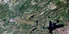
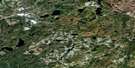
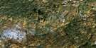
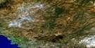
Kwinkwaga Lake Satellite Image Map
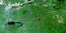
Download Free Aerial Photo 042C14 at 1:50,000 scale
Kwinkwaga Lake Satellite Imagery
To view this satellite map, mouse over the air photo on the right.
You can also download this satellite image map for free:
042C14 Kwinkwaga Lake high-resolution satellite image map.
Maps for the Kwinkwaga Lake aerial map sheet 042C14 at 1:50,000 scale are also available in these versions:
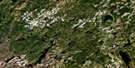
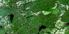
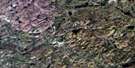
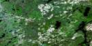
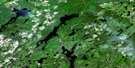
Kwinkwaga Lake Surrounding Area Aerial Photo Maps
 |
 |
 |
 |
 |
 |
 |
 |
 |
 |
 |
 |
 |
 |
 |
 |
© Department of Natural Resources Canada. All rights reserved.
Kwinkwaga Lake Gazetteer
The following places can be found on satellite image map 042C14 Kwinkwaga Lake:
Kwinkwaga Lake Satellite Image: Bays
Tangent BayKwinkwaga Lake Satellite Image: Capes
Ambrose PointKwinkwaga Lake Satellite Image: Geographical areas
AtikamegBayfield
Bryant
Flood
Hambleton
Johns
Magone
Matthews
McGill
Mikano
Odlum
Shabotik
Thunder Bay
Welsh
Kwinkwaga Lake Satellite Image: Lakes
Atikameg LakeBeverly Lake
Blotter Lake
Bouchard Lake
Bubble Lake
Bulldozer Lake
Caddy Lake
Clay Lake
Cross Lake
Cupa Lake
David Lake
Davis Lake
Dayohessarah Lake
Fido Lake
Flood Lake
Gagegenha Lake
Garnham Lake
Grouse Lake
Hambleton Lake
Horsehead Lake
Jembi Lake
Joseph Lake
Joto Lake
July Lake
Kabossakwa Lake
Kenshoe Lake
Kopje Lake
Kwinkwaga Lake
Line Lake
Little Delink Lake
Little Flood Lake
Lower Matthews Lake
Lunch Lake
Magone Lake
Matthews Lake
McGill Lake
Mephitis Lake
Mikano Lake
Odlum Lake
Plate Lake
Raven Lake
Rita Lake
Siren Lake
Skewer Lake
Smoky Lake
Spook Lake
Tea Lake
Teardrop Lake
Tie Lake
Tomtit Lake
Upper McGill Lake
Valentine Lake
Kwinkwaga Lake Satellite Image: Conservation areas
Kwinkwaga Ground Moraine Uplands Conservation ReserveKwinkwaga Lake Satellite Image: Rivers
Bertrand CreekCaddy Creek
Cupa Creek
David Creek
Davis Creek
Dayohessarah Creek
Delink Creek
Gum River
Hollier Creek
Kenshoe Creek
Kwinkwaga River
Magone Creek
McGill Creek
Shabotik River
Sheila Creek
Siren Creek
Strickland River
Kwinkwaga Lake Satellite Image: Road features
Wigwam Portage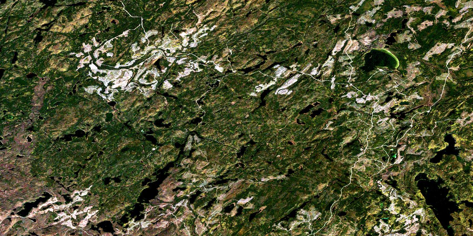
© Department of Natural Resources Canada. All rights reserved.
042C Related Maps:
042C White River042C01 Manitowik Lake
042C02 Hawk Junction
042C03 Mishibishu Lake
042C04 Pukaskwa River
042C05 Lurch Lake
042C06 Pokei Lake
042C07 Medhurst Creek
042C08 Franz
042C09 Oba Lake
042C10 Anahareo Lake
042C11 White River
042C12 Cedar Lake
042C13 White Lake
042C14 Kwinkwaga Lake
042C15 Gourlay Lake
042C16 Kabinakagami Lake
