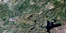
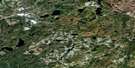
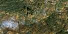
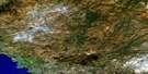
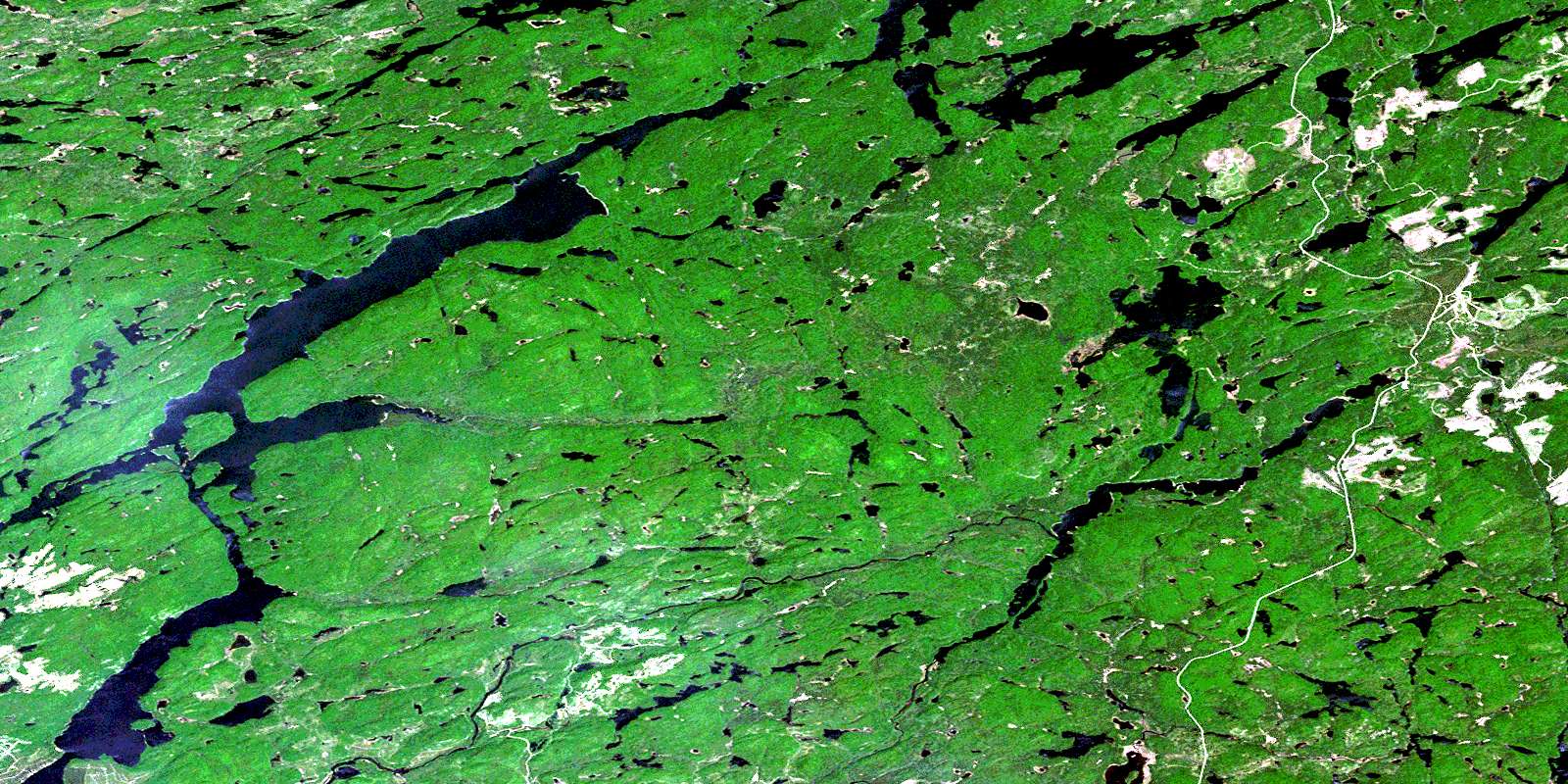
Manitowik Lake Satellite Image Map
Download Free Aerial Photo 042C01 at 1:50,000 scale
Manitowik Lake Satellite Imagery
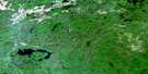
To view this satellite map, mouse over the air photo on the right.
You can also download this satellite image map for free:
042C01 Manitowik Lake high-resolution satellite image map.
Maps for the Manitowik Lake aerial map sheet 042C01 at 1:50,000 scale are also available in these versions:
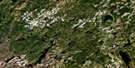
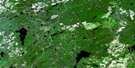
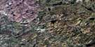
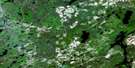
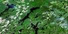
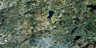
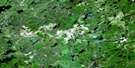
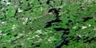
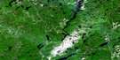
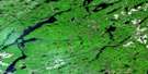
Manitowik Lake Surrounding Area Aerial Photo Maps
 |
 |
 |
 |
 |
 |
 |
 |
 |
 |
 |
 |
 |
 |
 |
 |
© Department of Natural Resources Canada. All rights reserved.
Manitowik Lake Gazetteer
The following places can be found on satellite image map 042C01 Manitowik Lake:
Manitowik Lake Satellite Image: Bays
Blue BayBob's Bay
Dingman Bay
Log Bay
Outline Bay
Manitowik Lake Satellite Image: Falls
Jane FallsPigeon Falls
Stony Portage Falls
Manitowik Lake Satellite Image: Geographical areas
23,2324,23
24,24
25,23
25,24
25,25
25,26
26,23
26,24
26,25
26,26
27,23
27,24
27,25
27,26
43
44
45
Aguonie
Bader
Bird
Bruyere
Copenace
Cowie
D'Avaugour
Debassige
Dolson
Echum
Fiddler
Hornell
Isaac
Keesickquayash
Laforme
Maness
Marsh
Michano
Miskokomon
Nadjiwon
Manitowik Lake Satellite Image: Islands
Moose IslandManitowik Lake Satellite Image: Lakes
Aitken LakeAtik Lake
Ballard Lake
Beaver Lake
Bertrand Lake
Billboy Lake
Blackfish Lake
Blackout Lake
Blue Lake
Boisey Lake
Borzoi Lake
Bukwaskeagog Lake
Carry Lake
Cawdron Lake
Chartrand Lake
Church Lake
Dingman Lake
Dog Lake
Fletcher Lake
Forge Lake
Forty Four Lake
Garbe Lake
Gerrard Lake
Grundoon Lake
Hand Lake
Hidden Lake
High Lake
Howland Lake
Hylo Lake
Irma Lake
Larkin Lake
Locke Lake
Long Lake
Loon Lake
Maconner Lake
Manitowik Lake
Manton Lake
Matchinameigus Lake
McMurty Lake
Morrison Lake
Mullen Lake
Murray Lake
Nahokeesio Lake
Ogasiwi Lake
Oombash Lake
Pickle Lake
Pike Lake
Pivot Lake
Porcupine Lake
Porky Lake
Preneveau Lake
Prospere Lake
Ramona Lake
Richardson Lake
Sand Lake
Scout Lake
Shallow Lake
Shikwamkwa Lake
Sleith Lake
Stranded Lake
Swanson Lake
Tripp Lake
Twain Lake
Upper Dingman Lake
West Lake
Where Lake
Whitefish Lake
Willet Lake
Manitowik Lake Satellite Image: Rapids
Frenchman RapidsManitowik Lake Satellite Image: Rivers
Ballard CreekBertrand Creek
Billboy Creek
Blackfish Creek
Boisey Creek
Borzoi Creek
Dingman Creek
Forge Creek
Goldie River
Goudreau Creek
Hawk River
Jackpine River
Little Jackpine River
Maconner Creek
Matchinameigus Creek
McMurty Creek
Michipicoten River
Murray Creek
Murray Creek
Ogasiwi Creek
Pivot Creek
Rivière Windermere
Shikwamkwa River
Windermere River
Manitowik Lake Satellite Image: Road features
Little Stony PortagePigeon Portage
Stony Portage
Manitowik Lake Satellite Image: Unincorporated areas
CarryDalton
Dalton Mills
© Department of Natural Resources Canada. All rights reserved.
042C Related Maps:
042C White River042C01 Manitowik Lake
042C02 Hawk Junction
042C03 Mishibishu Lake
042C04 Pukaskwa River
042C05 Lurch Lake
042C06 Pokei Lake
042C07 Medhurst Creek
042C08 Franz
042C09 Oba Lake
042C10 Anahareo Lake
042C11 White River
042C12 Cedar Lake
042C13 White Lake
042C14 Kwinkwaga Lake
042C15 Gourlay Lake
042C16 Kabinakagami Lake
