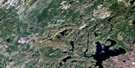
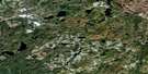
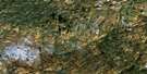
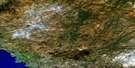
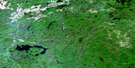
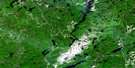
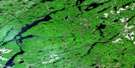
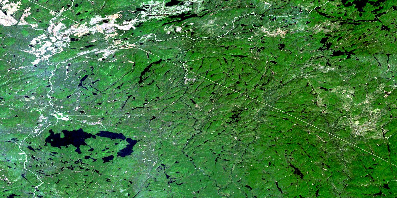
Mishibishu Lake Satellite Image Map
Download Free Aerial Photo 042C03 at 1:50,000 scale
Mishibishu Lake Satellite Imagery
To view this satellite map, mouse over the air photo on the right.
You can also download this satellite image map for free:
042C03 Mishibishu Lake high-resolution satellite image map.
Maps for the Mishibishu Lake aerial map sheet 042C03 at 1:50,000 scale are also available in these versions:
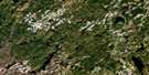
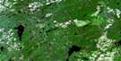
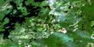
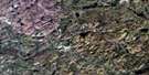
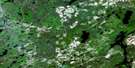
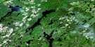
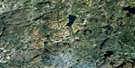
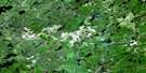
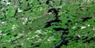
Mishibishu Lake Surrounding Area Aerial Photo Maps
 |
 |
 |
 |
 |
 |
 |
 |
 |
 |
 |
 |
 |
 |
 |
 |
© Department of Natural Resources Canada. All rights reserved.
Mishibishu Lake Gazetteer
The following places can be found on satellite image map 042C03 Mishibishu Lake:
Mishibishu Lake Satellite Image: Bays
Minnesota BayNo Fish Bay
Mishibishu Lake Satellite Image: Capes
Red Pine PointMishibishu Lake Satellite Image: Geographical areas
31,2331,24
31,25
31,26
32,23
32,24
32,25
32,26
33 Additional, 25
33 Additional, 26
33,23
33,24
33,25
33,26
André
Bostwick
Franchère
Groseilliers
Keating
Keating Additional
Killins
Knicely
Legarde
Legarde Additional
Levesque
Macaskill
St. Germain
Thunder Bay
Warpula
Mishibishu Lake Satellite Image: Islands
Iserhoff IslandStar Island
Mishibishu Lake Satellite Image: Lakes
Abbie LakeAmbrose Lake
Augusta Lake
Back Lake
Betty Lake
Bog Lake
Bowman Lake
Brian Lake
Cameron Lake
Charlies Lake
Clearwater Pond
Clifftay Lake
Dud Lake
Eaglet Lake
Ellen Lake
Floating Heart Lake
Fly Lake
Harrison Lake
Heart Lake
Iron Lake
Isabella Lake
Jimmy Kash Lake
Jostle Lake
Katzenbach Lake
Lac à la Plonge
Lac aux Cypres
Little Beaver Lake
Marjorie Lake
Marjory Lake
Miron Lake
Mishi Lake
Mishibishu Lake
Missing Lake
Nichols Lake
Ore Lake
Paint Lake
Rook Lake
Sad Lake
Sage Lake
Spendunc Lake
Spring Lake
Upper Jimmy Kash Lake
Warbedeelius Lake
West Kabenung Lake
Yaskovitch Lake
Yvonne Lake
Mishibishu Lake Satellite Image: Mountains
Brotherton HillFrances Hill
Maidens Leap Mountain
Mount Raymond
Mishibishu Lake Satellite Image: Conservation areas
Nimoosh Provincial ParkWidgeon Lake Moraine Conservation Reserve
Mishibishu Lake Satellite Image: Rivers
Dog (University) RiverDog River
Dud Creek
Eagle River
East Pukaskwa River
Farwell Creek
Feather River
Floating Heart River
Iron Creek
Jimmy Kash River
Little Bear River
Macassa Creek
Makwa River
Mishi Creek
Mobert Creek
Paint Creek
Stares Creek
University River
Wilder Creek
© Department of Natural Resources Canada. All rights reserved.
042C Related Maps:
042C White River042C01 Manitowik Lake
042C02 Hawk Junction
042C03 Mishibishu Lake
042C04 Pukaskwa River
042C05 Lurch Lake
042C06 Pokei Lake
042C07 Medhurst Creek
042C08 Franz
042C09 Oba Lake
042C10 Anahareo Lake
042C11 White River
042C12 Cedar Lake
042C13 White Lake
042C14 Kwinkwaga Lake
042C15 Gourlay Lake
042C16 Kabinakagami Lake
