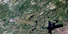
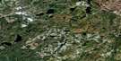
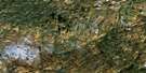
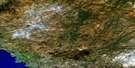
Pukaskwa River Satellite Image Map
Download Free Aerial Photo 042C04 at 1:50,000 scale
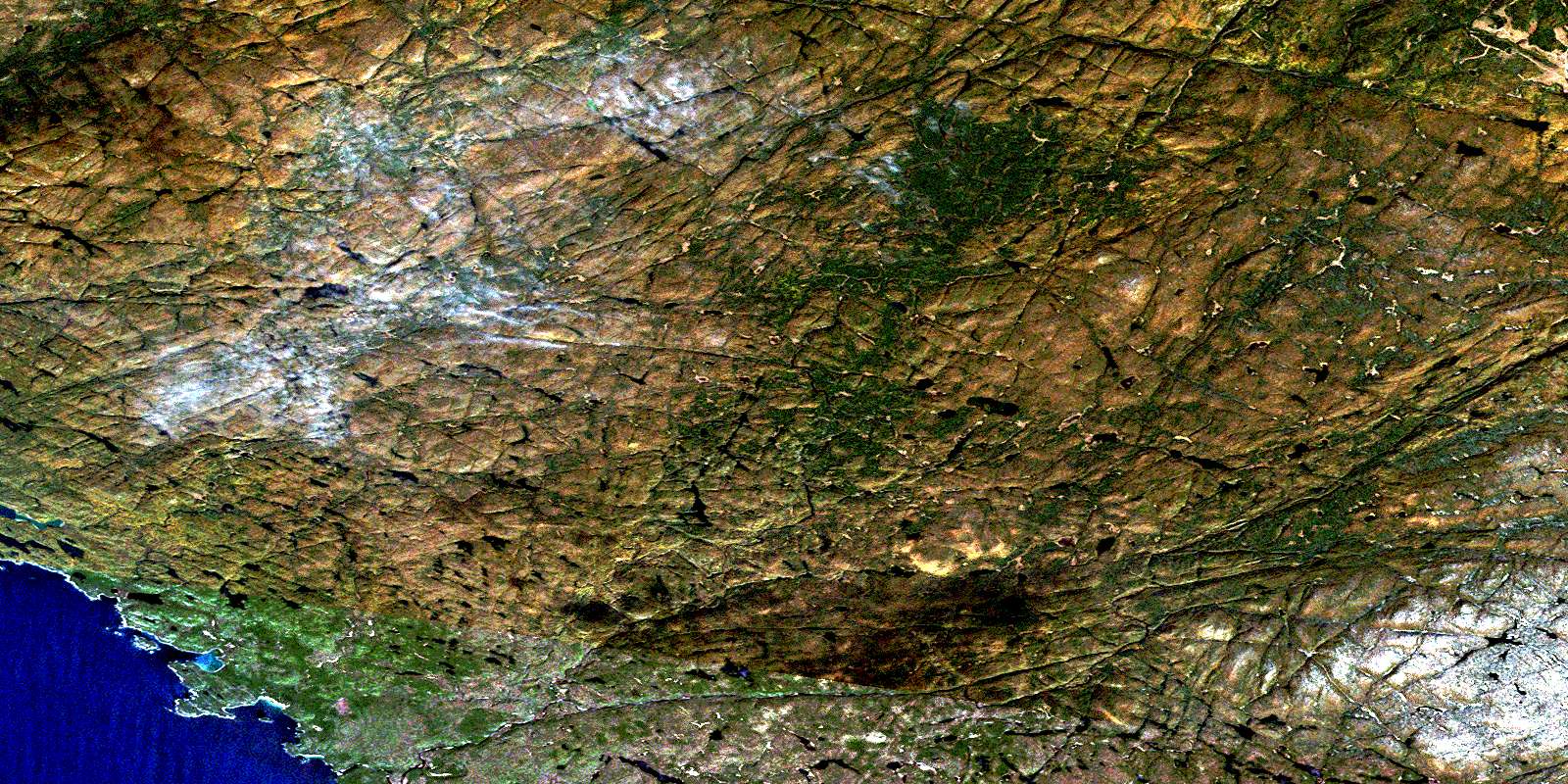
Pukaskwa River Satellite Imagery
To view this satellite map, mouse over the air photo on the right.
You can also download this satellite image map for free:
042C04 Pukaskwa River high-resolution satellite image map.
Maps for the Pukaskwa River aerial map sheet 042C04 at 1:50,000 scale are also available in these versions:
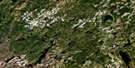
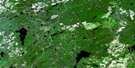
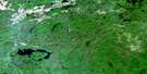
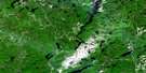
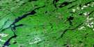
Pukaskwa River Surrounding Area Aerial Photo Maps
 |
 |
 |
 |
 |
 |
 |
 |
 |
 |
 |
 |
 |
 |
 |
 |
© Department of Natural Resources Canada. All rights reserved.
Pukaskwa River Gazetteer
The following places can be found on satellite image map 042C04 Pukaskwa River:
Pukaskwa River Satellite Image: Bays
Bonamie CoveImogene Cove
Otter Cove
Richardson Harbour
Pukaskwa River Satellite Image: Capes
Pointe La CanadiennePukaskwa River Satellite Image: Falls
Schist FallsPukaskwa River Satellite Image: Geographical areas
ByronHomer
Thunder Bay
Pukaskwa River Satellite Image: Islands
Davis IslandRichardson Island
Pukaskwa River Satellite Image: Lakes
Buchanan LakeCamp Lake
Cascade Lake
David Lakes
East Pukaskwa Lake
Frappier Lake
Jackfish Lake
Lac Supérieur
Lake Superior
Loon Lake
McDougall Lake
Perry Lake
Scapula Lake
Secret Lake
Tee Lake
West Pukaskwa Lake
Pukaskwa River Satellite Image: Conservation areas
Parc national du Canada PukaskwaPukaskwa National Park of Canada
Richardson Harbour Island Wilderness Area
Pukaskwa River Satellite Image: Rivers
Cascade RiverEast Pukaskwa River
Fox River
Holly Creek
Imogen River
Imogene River
Julia River
Macassa Creek
Maple Creek
Mobert Creek
North Swallow River
Perry Creek
Pipe River
Pukaskwa River
Robin Creek
Stoney Creek
Swallow River
Swallow River
Tagouche Creek
Windigo Creek
Pukaskwa River Satellite Image: Road features
Ringham PortagePukaskwa River Satellite Image: Unincorporated areas
PuckasawPukaskwa
Pukaskwa Depot
© Department of Natural Resources Canada. All rights reserved.
042C Related Maps:
042C White River042C01 Manitowik Lake
042C02 Hawk Junction
042C03 Mishibishu Lake
042C04 Pukaskwa River
042C05 Lurch Lake
042C06 Pokei Lake
042C07 Medhurst Creek
042C08 Franz
042C09 Oba Lake
042C10 Anahareo Lake
042C11 White River
042C12 Cedar Lake
042C13 White Lake
042C14 Kwinkwaga Lake
042C15 Gourlay Lake
042C16 Kabinakagami Lake
