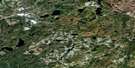
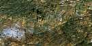
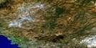
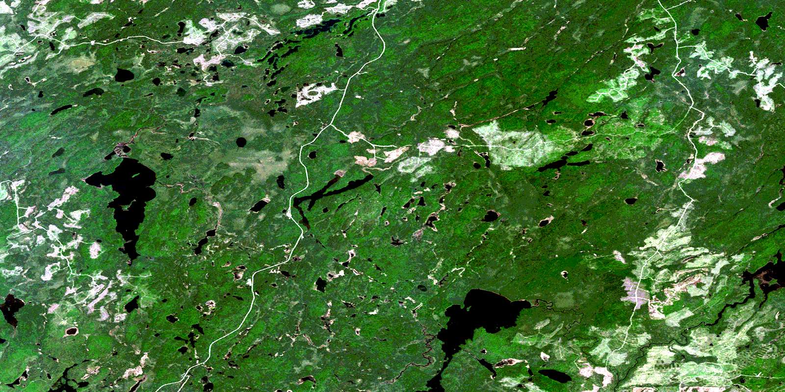
Gourlay Lake Satellite Image Map
Download Free Aerial Photo 042C15 at 1:50,000 scale
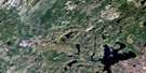
Gourlay Lake Satellite Imagery
To view this satellite map, mouse over the air photo on the right.
You can also download this satellite image map for free:
042C15 Gourlay Lake high-resolution satellite image map.
Maps for the Gourlay Lake aerial map sheet 042C15 at 1:50,000 scale are also available in these versions:
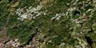
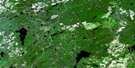
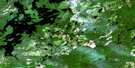
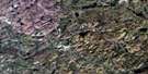
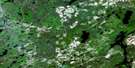
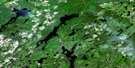
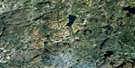
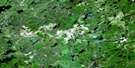
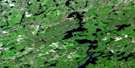
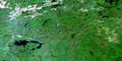
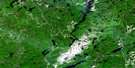
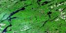
Gourlay Lake Surrounding Area Aerial Photo Maps
 |
 |
 |
 |
 |
 |
 |
 |
 |
 |
 |
 |
 |
 |
 |
 |
© Department of Natural Resources Canada. All rights reserved.
Gourlay Lake Gazetteer
The following places can be found on satellite image map 042C15 Gourlay Lake:
Gourlay Lake Satellite Image: Bays
Boot BayLittle Kaby Bay
Gourlay Lake Satellite Image: Geographical areas
BayfieldBeaton
Breckenridge
Gourlay
Hambleton
Lipton
Lizar
Mosambik
Nameigos
Odlum
Strickland
Gourlay Lake Satellite Image: Lakes
Airplane LakeBeaton Lake
Breckenridge Lake
Flat Lake
Gagegenha Lake
Gourlay Lake
High Lake
Ishpa Lake
Jackfish Lake
Kabinakagami Lake
Lipton Lake
Little Lipton Lake
Loon Lake
Low Lake
Mong Lake
Nameigos Lake
Nameigosis Lake
Nittam Lake
Rampike Lake
Sandy Lake
Strickland Lake
Tabassa Lake
Toboggan Lake
Gourlay Lake Satellite Image: Conservation areas
Strickland River Mixed Forest Wetland Conservation ReserveGourlay Lake Satellite Image: Rivers
Bear CreekBeaton River
Dayohessarah Creek
Fairy Creek
Gagegenha Creek
Kabinakagami River
Kabinakagamisis River
Nameigos River
Otter Creek
Stoney Creek
Strickland River
West Beaton River
White Owl Creek
© Department of Natural Resources Canada. All rights reserved.
042C Related Maps:
042C White River042C01 Manitowik Lake
042C02 Hawk Junction
042C03 Mishibishu Lake
042C04 Pukaskwa River
042C05 Lurch Lake
042C06 Pokei Lake
042C07 Medhurst Creek
042C08 Franz
042C09 Oba Lake
042C10 Anahareo Lake
042C11 White River
042C12 Cedar Lake
042C13 White Lake
042C14 Kwinkwaga Lake
042C15 Gourlay Lake
042C16 Kabinakagami Lake
