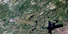
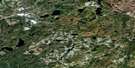
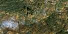
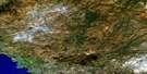
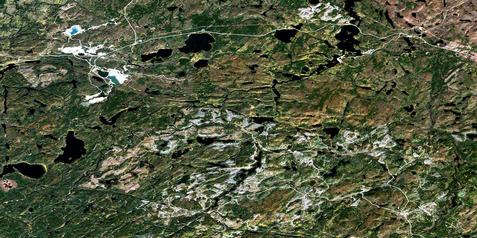
Cedar Lake Satellite Image Map
Download Free Aerial Photo 042C12 at 1:50,000 scale
Cedar Lake Satellite Imagery
To view this satellite map, mouse over the air photo on the right.
You can also download this satellite image map for free:
042C12 Cedar Lake high-resolution satellite image map.
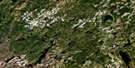
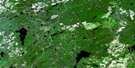
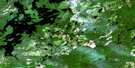
Maps for the Cedar Lake aerial map sheet 042C12 at 1:50,000 scale are also available in these versions:
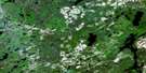
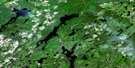
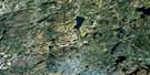
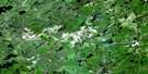
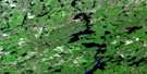
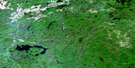
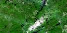
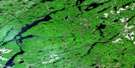
Cedar Lake Surrounding Area Aerial Photo Maps
 |
 |
 |
 |
 |
 |
 |
 |
 |
 |
 |
 |
 |
 |
 |
 |
© Department of Natural Resources Canada. All rights reserved.
Cedar Lake Gazetteer
The following places can be found on satellite image map 042C12 Cedar Lake:
Cedar Lake Satellite Image: Bays
Babitabonanik BayGiles Bay
Government Bay
Kichidabadik Inlet
Pickerel Bay
Cedar Lake Satellite Image: Capes
Regan PointCedar Lake Satellite Image: Channels
The NarrowsCedar Lake Satellite Image: Falls
Angler FallsBaptisimon Chute
Cedar Lake Satellite Image: Geographical areas
7071
72
73
74
Bomby
Brothers
Bryant
Laberge
Lecours
McCron
Thunder Bay
Cedar Lake Satellite Image: Indian Reserves
Mobert Indian Reserve 82Pic Mobert Indian Reserve South
Pic Mobert North Indian Reserve
Pic Mobert Reserve North
Pic Mobert Reserve South
Réserve indienne Mobert 82
Réserve indienne Pic Mobert North
Réserve indienne Pic Mobert South
Cedar Lake Satellite Image: Islands
Marathon IslandCedar Lake Satellite Image: Lakes
Animons LakeBananish Lake
Binekan Lake
Botham Lake
Bradley Lake
Buie Lake
Cache Lake
Caribou Throat Lake
Carl Lake
Cedar Lake
Chain of Lakes
Cigar Lake
Clearwater Lake
Dalton Lake
Deer Lake
Dunc Lake
Egg Lake
Elephant Lake
Elk Lake
Ell Lake
Elora Lake
Euclide Lake
Fearless Lake
Gaby Lake
Handle Lake
Hayward Lake
Herrick Lake
Jijime Lake
Jumbo Lake
Kenel Lake
Lampi's Lake
Little Cedar Lake
Long Lake
Marie Lake
Mashkigomin Lake
Molson Lake
Moose Lake
Muddy Lake
Necklace Lake
Nokanee Lake
Nursery Lake
Oskabukuta Lake
Patina Lake
Patio Lake
Pear Lake
Rule Lake
Rust Lake
Spangle Lake
Spotter Lake
Swamp Lake
Triplet Lakes
Trudeau Lake
White Lake
Winzhinabi Lake
Cedar Lake Satellite Image: Conservation areas
Kwinkwaga Ground Moraine Uplands Conservation ReserveWhite Lake Provincial Park
Cedar Lake Satellite Image: Rapids
Moosehorn RapidsCedar Lake Satellite Image: Rivers
Alder CreekBarbara Creek
Bertrand Creek
Binekan Creek
Black River
Bremner River
Carl Creek
Cedar Creek
Chief's Creek
East Bremner River
Gaby Creek
Gowan Creek
Hayward Creek
Kenel Creek
Mussy Creek
Okadak Creek
Oskabukuta River
Philip Creek
Philips Creek
Rein Creek
Valley Creek
Wabikoba Creek
White River
Winzhinabi Creek
Cedar Lake Satellite Image: Road features
Chicagonce PortageMashibashi Portage
Cedar Lake Satellite Image: Unincorporated areas
BertrandHemlo
Mobert
Regan
Struthers
Trudeau
© Department of Natural Resources Canada. All rights reserved.
042C Related Maps:
042C White River042C01 Manitowik Lake
042C02 Hawk Junction
042C03 Mishibishu Lake
042C04 Pukaskwa River
042C05 Lurch Lake
042C06 Pokei Lake
042C07 Medhurst Creek
042C08 Franz
042C09 Oba Lake
042C10 Anahareo Lake
042C11 White River
042C12 Cedar Lake
042C13 White Lake
042C14 Kwinkwaga Lake
042C15 Gourlay Lake
042C16 Kabinakagami Lake
