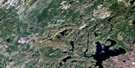
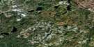
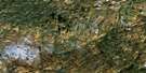
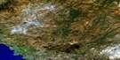
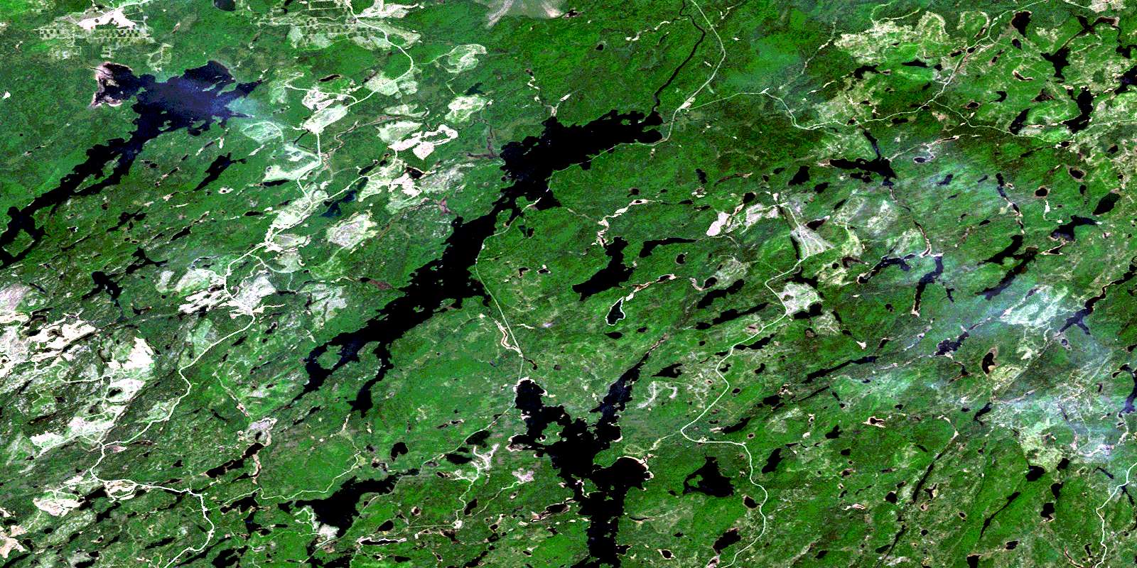
Oba Lake Satellite Image Map
Download Free Aerial Photo 042C09 at 1:50,000 scale
Oba Lake Satellite Imagery
To view this satellite map, mouse over the air photo on the right.
You can also download this satellite image map for free:
042C09 Oba Lake high-resolution satellite image map.
Maps for the Oba Lake aerial map sheet 042C09 at 1:50,000 scale are also available in these versions:
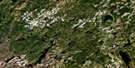
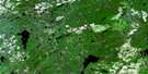
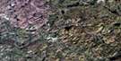
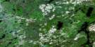
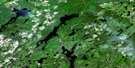
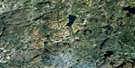
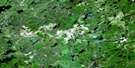
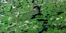
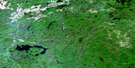
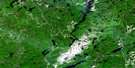
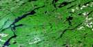
Oba Lake Surrounding Area Aerial Photo Maps
 |
 |
 |
 |
 |
 |
 |
 |
 |
 |
 |
 |
 |
 |
 |
 |
© Department of Natural Resources Canada. All rights reserved.
Oba Lake Gazetteer
The following places can be found on satellite image map 042C09 Oba Lake:
Oba Lake Satellite Image: Bays
Hoodoo BayOba Lake Satellite Image: Geographical areas
ActonCarney
Challener
Cudney
Makawa
Martin
Mildred
Moorehouse
Mosambik
Pearkes
Simpson
St. Julien
Winget
Oba Lake Satellite Image: Lakes
Awameg LakeCheesehead Lake
Coat Lake
Craig Lake
Dibben Lake
Esnagi Lake
Fitzpatrick Lake
Gay Lake
Hafer Lake
Johnny Lake
Laura Lake
Little Fire Lake
Little Peckerwood Lake
Makadawa Lake
Merekeme Lake
Nameibin Lake
Oba Lake
Otter Lake
Partridge Lake
Peckerwood Lake
Rock Lake
Scully Lake
St. Julien Lake
Tatnall Lake
Wabatongushi Lake
Walk Lake
Oba Lake Satellite Image: Rivers
Coat RiverDibben Creek
Dog River
Fire River
Fitzpatrick Creek
Gay Creek
Little Fire River
Lochalsh River
Magpie River
Oba River
Rivière Magpie
Tatnall River
Oba Lake Satellite Image: Road features
Five Mile PortageOba Lake Satellite Image: Unincorporated areas
HildaMosher
Scully
Tatnall
© Department of Natural Resources Canada. All rights reserved.
042C Related Maps:
042C White River042C01 Manitowik Lake
042C02 Hawk Junction
042C03 Mishibishu Lake
042C04 Pukaskwa River
042C05 Lurch Lake
042C06 Pokei Lake
042C07 Medhurst Creek
042C08 Franz
042C09 Oba Lake
042C10 Anahareo Lake
042C11 White River
042C12 Cedar Lake
042C13 White Lake
042C14 Kwinkwaga Lake
042C15 Gourlay Lake
042C16 Kabinakagami Lake
