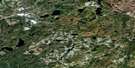
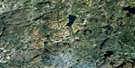
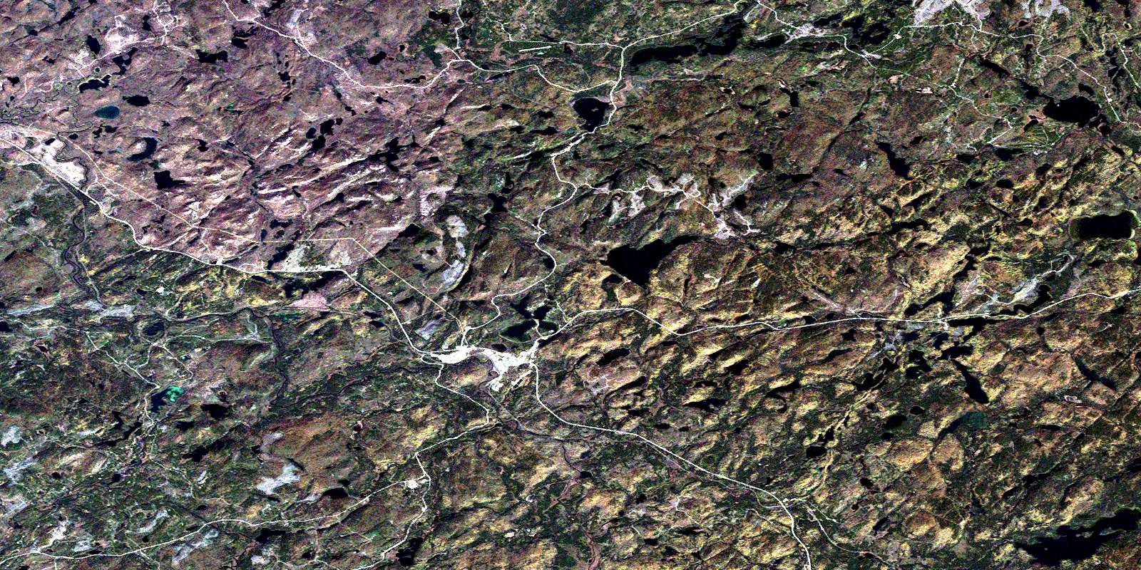
White River Satellite Image Map
Download Free Aerial Photo 042C11 at 1:50,000 scale
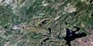
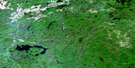
White River Satellite Imagery
To view this satellite map, mouse over the air photo on the right.
You can also download this satellite image map for free:
042C11 White River high-resolution satellite image map.
Maps for the White River aerial map sheet 042C11 at 1:50,000 scale are also available in these versions:
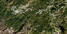
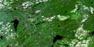
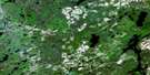
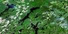
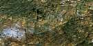
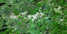
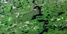
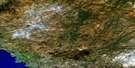
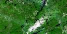
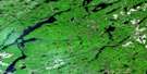
White River Surrounding Area Aerial Photo Maps
 |
 |
 |
 |
 |
 |
 |
 |
 |
 |
 |
 |
 |
 |
 |
 |
© Department of Natural Resources Canada. All rights reserved.
White River Gazetteer
The following places can be found on satellite image map 042C11 White River:
White River Satellite Image: Geographical areas
6364
65
66
70
Abraham
Bryant
Cecile
Common
Cooper
Flood
Hunt
Johns
Knowles
McCron
McDowell
McGowan
Odlum
Tedder
Thunder Bay
Vasiloff
White River Satellite Image: Lakes
Bear LakeBlue Cedar Lake
Bottle Lake
Bridget Lake
Buck Lake
Camphouse Lake
Caribou Lake
Chain Lakes
Clearwater Lake
Crocker's Lake
Danny Lake
Dead Lake
Delink Lake
Denis Lake
Depew Lake
Devil Lake
Doe Lake
Duffy Lake
Flood Lake
Green Lakes
Hawkes Lake
Jimbo Lake
John Lake
Kaginagakog Lake
Kakakiwibik Lake
Kauskanee Lake
Kawapitapika Lake
Kawaweagama Lake
Leslie Lakes
Little Lake
Little Owl Lake
Little Round Lake
Little Tukanee Lake
Lois Lake
Long Lake
Lost Lake
Lovedee Lake
Mephitis Lake
Mink Lake
Mud Lake
Nabigon Lake
Needle Lake
Nokanee Lake
North Buck Lake
North Crocker's Lake
North Depew Lake
North Mink Lake
O'Brien Lakes
Odlum Lake
Oganek Lake
Paint Lake
Pakoawaga Lake
Pants Lake
Perrys Lake
Pickerel Lake
Picnic Lake
Pike Lake
Pilots Lake
Polly Lake
Rat Lake
Round Lake
Round Lake
Ruthie Lake
Snake Lake
Sole Lake
Tarpon Lake
Tedder Lake
Tent Lake
Tukanee Lake
Upper Duffy Lake
Upper Kawaweagama Lake
Wawigami Lake
Whitefish Lake
White River Satellite Image: Mountains
The PimpleWhite River Satellite Image: Other municipal/district area - miscellaneous
White RiverWhite River Satellite Image: Conservation areas
Kakakiwibik Esker Conservation ReserveKwinkwaga Ground Moraine Uplands Conservation Reserve
Pokei Lake/White River Wetlands Provincial Nature Reserve
Pokei Lake/White River Wetlands Provincial Park
White River Satellite Image: Rapids
Sandy Portage RapidsWhite River Satellite Image: Rivers
Caddy CreekClay Cut Creek
David Creek
Dayohessarah Creek
Delink Creek
Depew Creek
Depew River
East Bremner River
East Kwinkwaga River
First Creek
Kawaweagama Creek
Kwinkwaga River
Leslie Creek
Lovedee Creek
Northend Creek
O'Brien Creek
Odlum Creek
Okoko Creek
Picnic Creek
Second Creek
Tarpon Creek
Tedder River
Tedder River
Tukanee Creek
Tukanee Creek
Tukanee Creek
Two and a Half Creek
White River
Whitehead's Creek
White River Satellite Image: Unincorporated areas
BremnerDenison
Depew
O'Brien
White River
© Department of Natural Resources Canada. All rights reserved.
042C Related Maps:
042C White River042C01 Manitowik Lake
042C02 Hawk Junction
042C03 Mishibishu Lake
042C04 Pukaskwa River
042C05 Lurch Lake
042C06 Pokei Lake
042C07 Medhurst Creek
042C08 Franz
042C09 Oba Lake
042C10 Anahareo Lake
042C11 White River
042C12 Cedar Lake
042C13 White Lake
042C14 Kwinkwaga Lake
042C15 Gourlay Lake
042C16 Kabinakagami Lake
