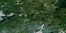
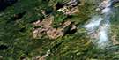
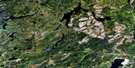
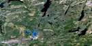
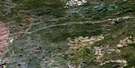
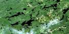
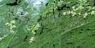
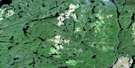
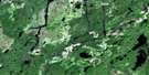
Castlebar Lake Satellite Image Map
Download Free Aerial Photo 042E16 at 1:50,000 scale
Castlebar Lake Satellite Imagery
To view this satellite map, mouse over the air photo on the right.
You can also download this satellite image map for free:
042E16 Castlebar Lake high-resolution satellite image map.
Maps for the Castlebar Lake aerial map sheet 042E16 at 1:50,000 scale are also available in these versions:
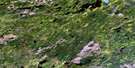
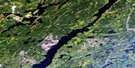
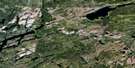
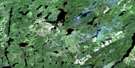
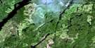
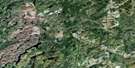
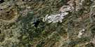
Castlebar Lake Surrounding Area Aerial Photo Maps
 |
 |
 |
 |
 |
 |
 |
 |
 |
 |
 |
 |
 |
 |
 |
 |
© Department of Natural Resources Canada. All rights reserved.
Castlebar Lake Gazetteer
The following places can be found on satellite image map 042E16 Castlebar Lake:
Castlebar Lake Satellite Image: Bays
Seagram BayCastlebar Lake Satellite Image: Geographical areas
BainChipman
Cochrane
Daley
Fernow
Goodwin
O'Meara
Raynar
Castlebar Lake Satellite Image: Indian Reserves
Ginoogaming First Nation Indian Reserve 77Long Lake Indian Reserve 77
Réserve indienne Ginoogaming First Nation 77
Réserve indienne Long Lake 77
Castlebar Lake Satellite Image: Lakes
Appendix LakeBalancing Lake
Bessie Lake
Buell Lake
Castlebar Lake
Charity Lake
Chipman Lake
Club Lake
Cosens Lake
David's Lake
Faith Lake
Fernow Lake
Gabbro Lake
Garfinkle Hole
Gervis Lake
Goldsmith Lake
Hanstead Lake
Harp Lake
Hope Lake
Kawakanika Lake
Klob Lake
Lena Lake
Lukinto Lake
Lydia Lake
Margo Lake
McNutt Lake
Miriam Lake
Mukwa Lake
Offsider Lake
O'Meara Lake
Pamela Lake
Pardee Lake
Phipps Lake
Proctor Lake
Raynar Lake
Sandlink Lakes
Shorty Lake
Sitting Woman Lake
Switzer Lake
Taffy Lake
Taylor Lake
Toad Lake
Wee David Lake
Wilf Lake
Castlebar Lake Satellite Image: Other municipal/district area - miscellaneous
BeardmoreNakina
Castlebar Lake Satellite Image: Rivers
Blueberry CreekCastlebar Creek
Club Creek
Fernow River
Fernow River
Gabbro Creek
Hoiles Creek
Jawbone Creek
Kawakanika River
Kenogami River
Klob Creek
O'Meara Creek
Pardee Creek
Phipps Creek
Raynar Creek
Rockyshore Creek
Sandlink Creek
Switzer Creek
Toad Creek
Castlebar Lake Satellite Image: Towns
GreenstoneCastlebar Lake Satellite Image: Unincorporated areas
Margo Lake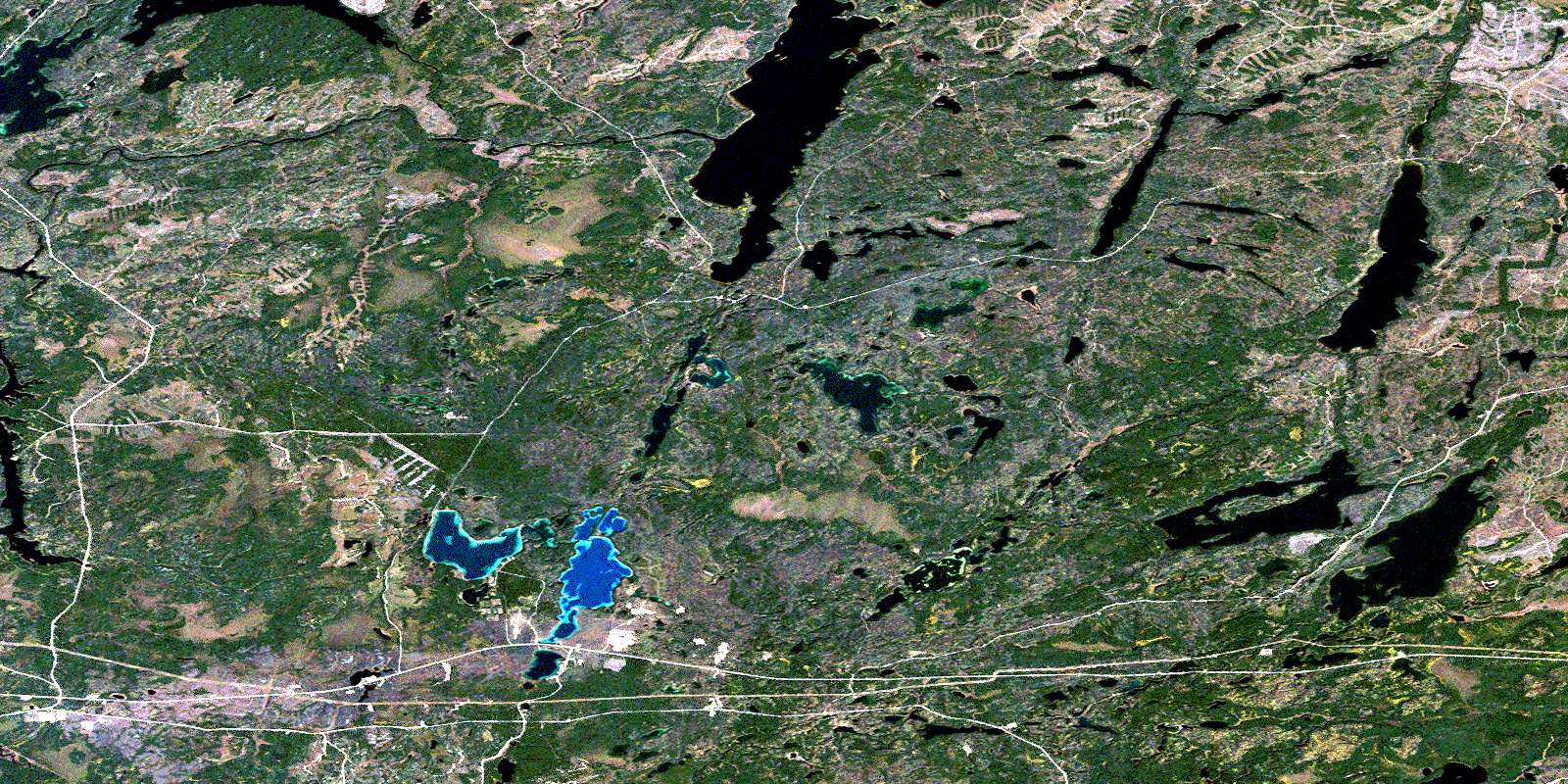
© Department of Natural Resources Canada. All rights reserved.
042E Related Maps:
042E Longlac042E01 Vein Lake
042E02 Killala Lake
042E03 Dickison Lake
042E04 Gurney Lake
042E05 Barbara Lake
042E06 Wintering Lake
042E07 Spider Lake
042E08 Kagiano Lake
042E09 Pagwachuan Lake
042E10 Geraldton
042E11 Wildgoose Lake
042E12 Beardmore
042E13 North Wind Lake
042E14 Treptow Lake
042E15 Longlac
042E16 Castlebar Lake
