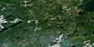
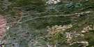
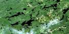
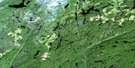
Kagiano Lake Satellite Image Map
Download Free Aerial Photo 042E08 at 1:50,000 scale
Kagiano Lake Satellite Imagery
To view this satellite map, mouse over the air photo on the right.
You can also download this satellite image map for free:
042E08 Kagiano Lake high-resolution satellite image map.
Maps for the Kagiano Lake aerial map sheet 042E08 at 1:50,000 scale are also available in these versions:
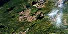
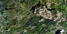
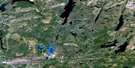
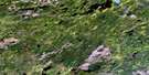
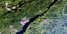
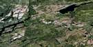
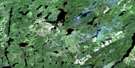
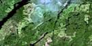
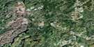
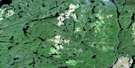
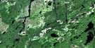
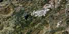
Kagiano Lake Surrounding Area Aerial Photo Maps
 |
 |
 |
 |
 |
 |
 |
 |
 |
 |
 |
 |
 |
 |
 |
 |
© Department of Natural Resources Canada. All rights reserved.
Kagiano Lake Gazetteer
The following places can be found on satellite image map 042E08 Kagiano Lake:
Kagiano Lake Satellite Image: Bays
Boomerang BayKagiano Lake Satellite Image: Falls
High FallsMiddle Falls
Kagiano Lake Satellite Image: Lakes
Boomerang LakeBoot Lake
Buhl Lake
Butcherhook Lake
Citellus Lake
Deadman Lake
Deerskull Lake
Devork Lake
Dianthus Lake
Edna Lake
Eel Lake
Erato Lake
Eris Lake
Eros Lake
Excalibur Lake
Fakeloo Lake
Festuca Lake
Hagarty Lake
Helios Lake
Jackfish Pond
Kaboosa Lake
Kagiano Lake
Kawepiti Lake
Klinestiver Lake
Limpid Lake
Little Fakeloo Lake
Little Stevens Lake
Little Vein Lake
Madwort Lake
Marmota Lake
Neotoma Lake
Nymphea Lake
Palmquist Lake
Picarson Lake
Ploughshare Lake
Polyanthus Lake
Sagiwatan Lake
Shushkaego Lake
Shushkwaibega Lake
Slingshot Lake
Spiderwort Lake
Starwort Lake
Stevens Lake
Stiletto Lake
Tickseed Lake
Waboosekon Lake
Waco Lake
Zapus Lake
Kagiano Lake Satellite Image: Rapids
Deadman RapidsKawepiti Rapids
Kagiano Lake Satellite Image: Rivers
Buhl CreekDeadman Creek
Deerskull Creek
Dianthus Creek
Fakeloo Creek
Gentian Creek
Hagarty Creek
Hagarty River
Kaboosa Creek
Kagiano River
Marmota Creek
Palmquist Creek
Pic River
Picarson Creek
Ploughshare Creek
Pout River
Stevens Creek
Waco Creek
White Otter River
Wort Creek
Kagiano Lake Satellite Image: Road features
Dying Portage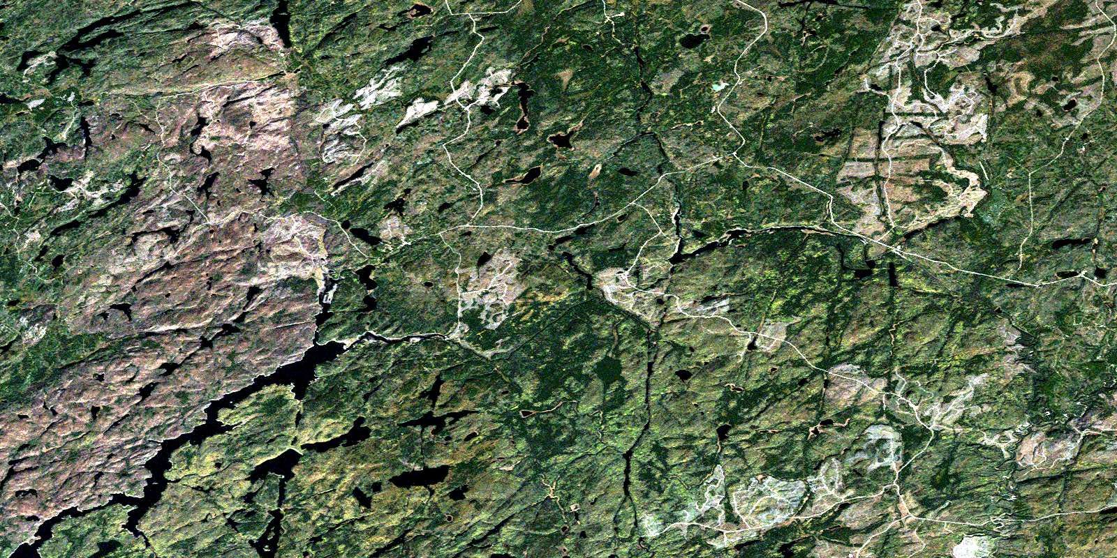
© Department of Natural Resources Canada. All rights reserved.
042E Related Maps:
042E Longlac042E01 Vein Lake
042E02 Killala Lake
042E03 Dickison Lake
042E04 Gurney Lake
042E05 Barbara Lake
042E06 Wintering Lake
042E07 Spider Lake
042E08 Kagiano Lake
042E09 Pagwachuan Lake
042E10 Geraldton
042E11 Wildgoose Lake
042E12 Beardmore
042E13 North Wind Lake
042E14 Treptow Lake
042E15 Longlac
042E16 Castlebar Lake
