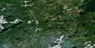
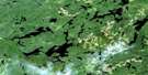
Geraldton Satellite Image Map
Download Free Aerial Photo 042E10 at 1:50,000 scale
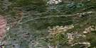
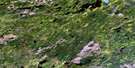
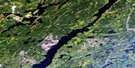
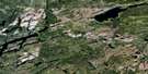
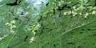
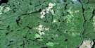
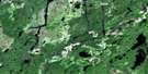
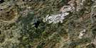
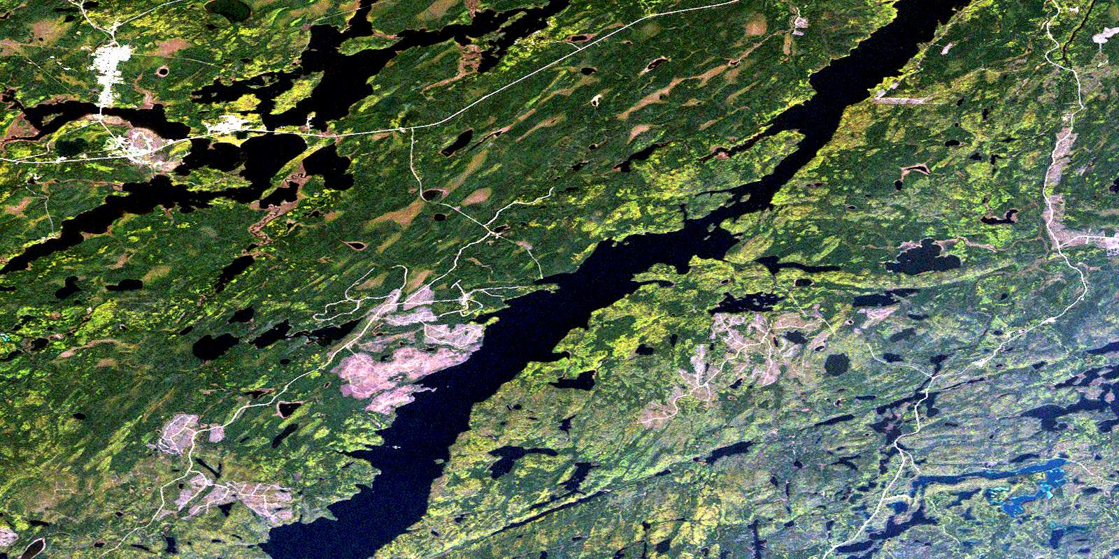
Geraldton Satellite Imagery
To view this satellite map, mouse over the air photo on the right.
You can also download this satellite image map for free:
042E10 Geraldton high-resolution satellite image map.
Maps for the Geraldton aerial map sheet 042E10 at 1:50,000 scale are also available in these versions:
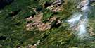
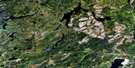
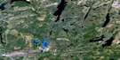
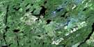
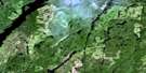
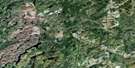
Geraldton Surrounding Area Aerial Photo Maps
 |
 |
 |
 |
 |
 |
 |
 |
 |
 |
 |
 |
 |
 |
 |
 |
© Department of Natural Resources Canada. All rights reserved.
Geraldton Gazetteer
The following places can be found on satellite image map 042E10 Geraldton:
Geraldton Satellite Image: Bays
Barton BayBirch Bay
Boot Bay
Devilfish Bay
Hardrock Bay
Jackfish Bay
Magnet Bay
Portage Bay
Siwash Bay
Southwest Arm
Westside Bay
Geraldton Satellite Image: Capes
Buckety PointBurnt Hill Point
Discovery Point
Kickick Point
Red Rock Point
Sevenmile Point
Geraldton Satellite Image: Channels
Main NarrowsNorthern Narrows
West Narrows
Geraldton Satellite Image: Geographical areas
AbreyAshmore
Coltham
Croll
Errington
McKelvie
Salsberg
Geraldton Satellite Image: Indian Reserves
Ginoogaming First NationGinoogaming First Nation Indian Reserve 77
Long Lake Indian Reserve 77
Réserve indienne Ginoogaming First Nation 77
Réserve indienne Long Lake 77
Geraldton Satellite Image: Islands
Baldhead IslandBell Island
First Island
Fox Island
Second Island
Third Island
Geraldton Satellite Image: Lakes
Ashmore LakeBarn Lake
Beaverhouse Lake
Bikerace Lake
Cache Lake
Calong Lake
Cecile Lake
Corri Lake
Crabtree Lake
Cray Lake
Croll Lake
Duckling Lake
Dumbbell Lake
Eldee Lake
Emilie Lake
Forrester Lake
Galloway Lake
Gog Lake
Greenwater Lake
Grehan Lake
Horsehead Lake
Kenogamisis Lake
Lambchop Lake
Little Gallander Lake
Little Needle Lake
Little Nye Lake
Lobo Lake
Long Lake
Lucier Lake
Maben Lake
Making Ground Lake
McBean Lake
McKay Lake
McKelvie Lake
McLeod Lake
Milbean Lake
Milfair Lake
Milne Lake
Mineral Lake
Mint Lake
Mosher Lake
Mosquito Lake
Needle Lake
Nye Lake
Oly Lake
Parakeet Lake
Pataban Lake
Peden Lake
Puppy Lake
Pussy Lake
Quintuplet Lake
Ragged Lake
Rockyshore Lake
Rod Lake
Siwash Lake
Skinner Lake
Sperm Lake
Star Lake
Suicide Lake
Sweezey Lake
The Lagoon
Threepoint Lake
Tricorn Lake
Triplet Lakes
Twomey Lake
Wallace Lake
Wishbone Lake
Y Lake
Yak Lake
Yvonne Lake
Geraldton Satellite Image: Military areas
Champ de manoeuvre GeraldtonGeraldton Training Area
Geraldton Satellite Image: Other municipal/district area - miscellaneous
BeardmoreNakina
Geraldton Satellite Image: Conservation areas
MacLeod Provincial ParkSteel River Provincial Park
Geraldton Satellite Image: Rapids
Flat RapidsLower Flat Rapids
Geraldton Satellite Image: Rivers
Goldfield CreekHardrock Creek
Kenogamisis River
Kinonge Creek
Lambchop Creek
Little Steel River
Magnet Creek
Making Ground River
McBean Creek
Milfair Creek
Mineral Creek
Needle Creek
Rogers Creek
Skinner Creek
Sperm Creek
Suckle Creek
Triplet Creek
Geraldton Satellite Image: Road features
Summit PortageGeraldton Satellite Image: Towns
GreenstoneGeraldton Satellite Image: Unincorporated areas
GeraldtonHardrock
Hardrock
Hardrock Mines
Hardrock Townsite
Jonesville
Langmuir
Little Longlac
MacLeod
Rosedale Point
Theresa
© Department of Natural Resources Canada. All rights reserved.
042E Related Maps:
042E Longlac042E01 Vein Lake
042E02 Killala Lake
042E03 Dickison Lake
042E04 Gurney Lake
042E05 Barbara Lake
042E06 Wintering Lake
042E07 Spider Lake
042E08 Kagiano Lake
042E09 Pagwachuan Lake
042E10 Geraldton
042E11 Wildgoose Lake
042E12 Beardmore
042E13 North Wind Lake
042E14 Treptow Lake
042E15 Longlac
042E16 Castlebar Lake
