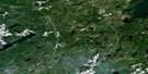
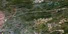
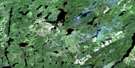
Barbara Lake Satellite Image Map
Download Free Aerial Photo 042E05 at 1:50,000 scale
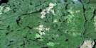
Barbara Lake Satellite Imagery
To view this satellite map, mouse over the air photo on the right.
You can also download this satellite image map for free:
042E05 Barbara Lake high-resolution satellite image map.
Maps for the Barbara Lake aerial map sheet 042E05 at 1:50,000 scale are also available in these versions:
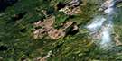
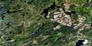
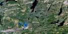
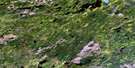
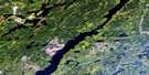
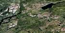
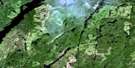
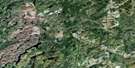
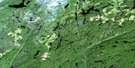
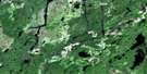
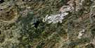
Barbara Lake Surrounding Area Aerial Photo Maps
 |
 |
 |
 |
 |
 |
 |
 |
 |
 |
 |
 |
 |
 |
 |
 |
© Department of Natural Resources Canada. All rights reserved.
Barbara Lake Gazetteer
The following places can be found on satellite image map 042E05 Barbara Lake:
Barbara Lake Satellite Image: Bays
East BayEsker Bay
North Arm
Reef Bay
South Bay
Southwest Bay
Barbara Lake Satellite Image: Capes
Rocky PointBarbara Lake Satellite Image: Channels
North ChannelBarbara Lake Satellite Image: Islands
Centre IslandChannel Island
Treasure Island
Barbara Lake Satellite Image: Lakes
Arrell LakeBadge Lake
Baffle Lake
Bale Lake
Barbara Lake
Barbaro Lake
Barnacle Lake
Bat Lake
Beartrap Lake
Benson Lake
Blay Lake
Claus Lake
Connor Lake
Cosgrave Lake
Court Lake
Croon Lake
Dempster Lake
Dishpan Lake
Flex Lake
Georgia Lake
Glacier Lake
Jarvis Lake
Jellybean Lake
Kilgour Lake
Lahti Lake
Lake Jean
Leopard Lake
Little Masinabik Lake
Masinabik Lake
McCracken Lake
Mush Lake
Palace Lake
Parget Lake
Parks Lake
Parland Lake
Parole Lake
Peck Lake
Ped Lake
Perky Lake
Peto Lake
Pewit Lake
Phantom Lake
Phasel Lake
Picnic Lake
Piece Lake
Pierce Lake
Pole Lake
Pond Lake
Pratlett Lake
Purva Lake
Rim Lake
Ringlet Lake
Scythe Lake
Seal Lake
Sharp Lake
Shell Lake
Shovel Lake
Silverskin Lake
Slush Lake
Snare Lake
Solar Lake
Sovereign Lake
Squawk Lake
Straw Lake
Threesided Lake
Trapnarrows Lake
Triangle Lake
Upper Roslyn Lake
Weitzel Lake
Woodpigeon Lake
Barbara Lake Satellite Image: Other municipal/district area - miscellaneous
BeardmoreNakina
Barbara Lake Satellite Image: Rivers
Babe CreekBasin Creek
Candy Creek
Croon Creek
Dishpan Creek
East Jackpine River
Glacier Creek
Jackfish River
Jackpine River
Kilgour Creek
Little Blackwater Creek
Little Blackwater River
Little Postagoni River
Masinabik Creek
Namewaminikan River
Parland Creek
Parole Creek
Phantom Creek
Pomace Creek
Postagoni River
Pound Creek
Pratlett Creek
Rim Creek
Snare Creek
Trapnarrows Creek
West Gravel River
Barbara Lake Satellite Image: Road features
Long PortageBarbara Lake Satellite Image: Towns
Greenstone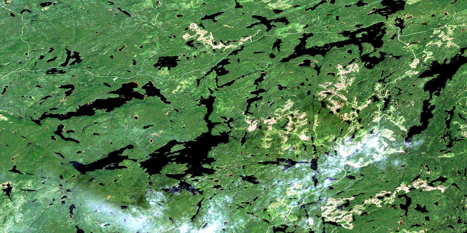
© Department of Natural Resources Canada. All rights reserved.
042E Related Maps:
042E Longlac042E01 Vein Lake
042E02 Killala Lake
042E03 Dickison Lake
042E04 Gurney Lake
042E05 Barbara Lake
042E06 Wintering Lake
042E07 Spider Lake
042E08 Kagiano Lake
042E09 Pagwachuan Lake
042E10 Geraldton
042E11 Wildgoose Lake
042E12 Beardmore
042E13 North Wind Lake
042E14 Treptow Lake
042E15 Longlac
042E16 Castlebar Lake
