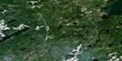
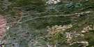
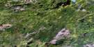
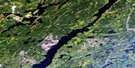
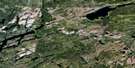
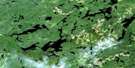
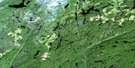
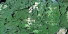
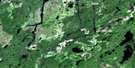
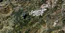
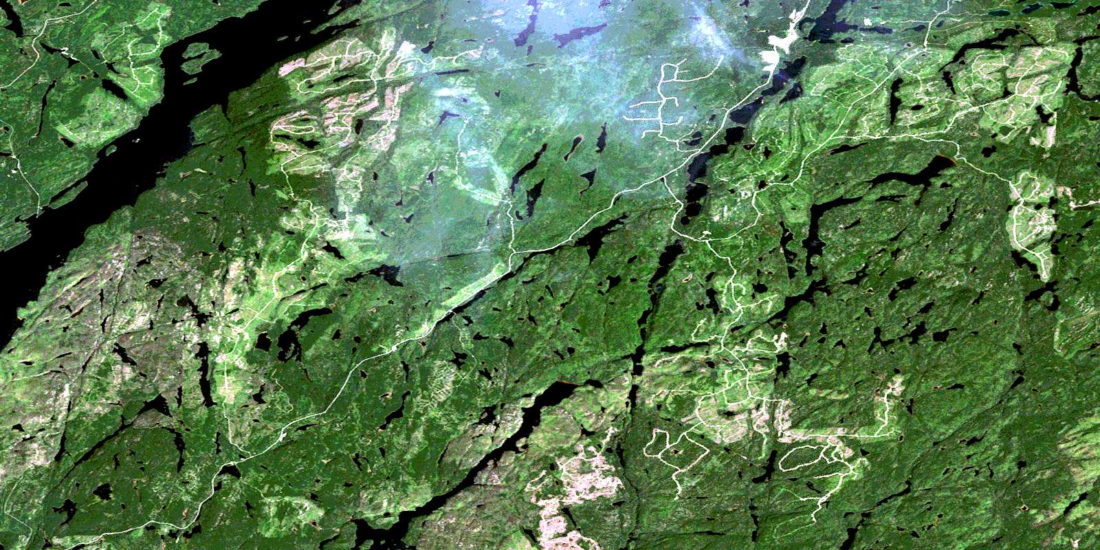
Spider Lake Satellite Image Map
Download Free Aerial Photo 042E07 at 1:50,000 scale
Spider Lake Satellite Imagery
To view this satellite map, mouse over the air photo on the right.
You can also download this satellite image map for free:
042E07 Spider Lake high-resolution satellite image map.
Maps for the Spider Lake aerial map sheet 042E07 at 1:50,000 scale are also available in these versions:
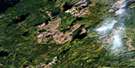
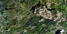
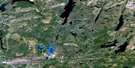
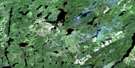
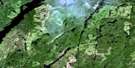
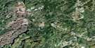
Spider Lake Surrounding Area Aerial Photo Maps
 |
 |
 |
 |
 |
 |
 |
 |
 |
 |
 |
 |
 |
 |
 |
 |
© Department of Natural Resources Canada. All rights reserved.
Spider Lake Gazetteer
The following places can be found on satellite image map 042E07 Spider Lake:
Spider Lake Satellite Image: Bays
Blackwater BayRedpine Bay
Spider Lake Satellite Image: Islands
Clode IslandHalfway Island
Horse Islands
Spider Lake Satellite Image: Lakes
Akebia LakeAndrosace Lake
Anthemis Lake
Aster Lake
Berberis Lake
Bluffy Lake
Burrow Lake
Buxus Lake
Catawba Lake
Celastrus Lake
Concord Lake
Eaglecrest Lake
Evonymus Lake
Gallander Lake
Galloway Lake
Grehan Lake
Grin Lake
Hatley Lake
Hedera Lake
Jarvis Lake
Kawabatongog Lake
Larix Lake
Laughter Lake
Little Gallander Lake
Little Jarvis Lake
Little Pic Lake
Little Tungsten Lake
Long Lake
Lucier Lake
Lychnis Lake
Nepeta Lake
Pachysandra Lake
Palmquist Lake
Periwinkle Lake
Ragged Lake
Renaud Lake
Savoie Lake
Sedum Lake
Sherry Lake
Smile Lake
Spider Lake
Spinner Lake
Spurge Lake
Steel Lake
Stewart Lake
Sun Lake
Trish Lake
TungstenLake
Vinca Lake
Viridis Lake
Yucca Lake
Zircon Lake
Spider Lake Satellite Image: Conservation areas
Long Lake Conservation ReserveSteel River Provincial Park
Spider Lake Satellite Image: Rivers
Akebia CreekAster Creek
Blackwater Creek
Bluffy Creek
Catlonite Creek
Gallander Creek
Galloway Creek
Galloway Creek
Kagiano River
Kamuck River
Little Pic River
Little Steel River
Lucier Creek
Lucier Creek
Needle Creek
Pout River
Renaud Creek
Sherry Creek
Spider Creek
Steel River
Stevens Creek
Tungsten Creek
© Department of Natural Resources Canada. All rights reserved.
042E Related Maps:
042E Longlac042E01 Vein Lake
042E02 Killala Lake
042E03 Dickison Lake
042E04 Gurney Lake
042E05 Barbara Lake
042E06 Wintering Lake
042E07 Spider Lake
042E08 Kagiano Lake
042E09 Pagwachuan Lake
042E10 Geraldton
042E11 Wildgoose Lake
042E12 Beardmore
042E13 North Wind Lake
042E14 Treptow Lake
042E15 Longlac
042E16 Castlebar Lake
