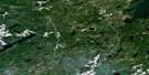
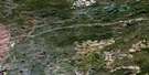
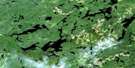
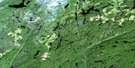
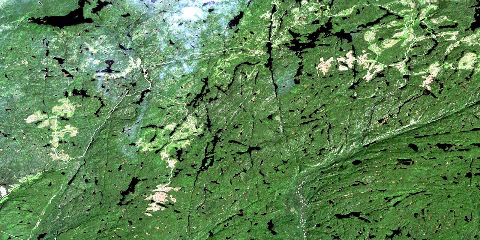
Gurney Lake Satellite Image Map
Download Free Aerial Photo 042E04 at 1:50,000 scale
Gurney Lake Satellite Imagery
To view this satellite map, mouse over the air photo on the right.
You can also download this satellite image map for free:
042E04 Gurney Lake high-resolution satellite image map.
Maps for the Gurney Lake aerial map sheet 042E04 at 1:50,000 scale are also available in these versions:
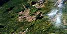
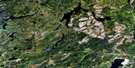
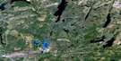
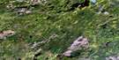
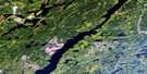
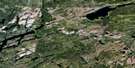
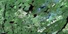
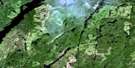
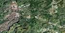
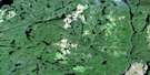
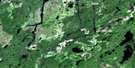
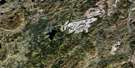
Gurney Lake Surrounding Area Aerial Photo Maps
 |
 |
 |
 |
 |
 |
 |
 |
 |
 |
 |
 |
 |
 |
 |
 |
© Department of Natural Resources Canada. All rights reserved.
Gurney Lake Gazetteer
The following places can be found on satellite image map 042E04 Gurney Lake:
Gurney Lake Satellite Image: Geographical areas
91Patience
Gurney Lake Satellite Image: Islands
Peas IslandsGurney Lake Satellite Image: Lakes
Aquarius LakeAries Lake
Arrell Lake
Berg Lake
Berryman Lake
Blair Lake
Cancer Lake
Candle Lake
Capricornus Lake
Cavers Lake
Central Lake
Cloutier Lake
Cosgrave Lake
Cull Lake
Cypress Lake
Dello Lake
Dempster Lake
Devious Lake
Dunne Lake
East Cypress Lake
First Lake
Foam Lake
Foxhead Lake
Gemini Lake
Goudy Lake
Gurney Lake
Hainsworth Lake
Hall Lake
Horne Lake
Jake Lake
Kabamichigama Lake
Kaylyn Lake
Kilgour Lake
Klersy Lake
Landing Lake
Leo Lake
Libra Lake
Little Cavers Lake
Little Jake Lake
Loven Lake
MacAdam Lake
McGoey Lake
Nagunagisic Lake
O'Keefe Lake
Sagittarius Lake
Scorpius Lake
Seahorse Lake
Second Lake
Shark Lake
Sour Lake
South Sprucegum Lake
Sprucegum Lake
Stein Lake
Taurus Lake
Topnot Lake
Twice Lake
Upper Pays Plat Lake
Upper Roslyn Lake
Weatherall Lake
Gurney Lake Satellite Image: Mountains
Kama HillsGurney Lake Satellite Image: Conservation areas
Gravel River Conservation ReserveKama Cliffs Conservation Reserve
Seahorse Lake Conservation Reserve
Gurney Lake Satellite Image: Rivers
Aquarius CreekBerryman Creek
Blair Creek
Cavers Creek
Cloutier Creek
Culbertson Creek
Cypress River
Dishpan Creek
Dublin Creek
East Cypress River
East Fox Creek
East Jackfish River
East Jackpine River
Eastfox Creek
Glacier Creek
Goudy Creek
Gravel River
Hall Creek
Horne Creek
Jackpine River
Jake Creek
Kilgour Creek
Klersy Creek
Little Gravel River
Nagunagisic Creek
Ozone Creek
Pays Plat River
Pisces Creek
Seahorse Creek
Sour Creek
Sport Creek
Sprucegum Creek
Topnot Creek
West Fox Creek
West Gravel River
© Department of Natural Resources Canada. All rights reserved.
042E Related Maps:
042E Longlac042E01 Vein Lake
042E02 Killala Lake
042E03 Dickison Lake
042E04 Gurney Lake
042E05 Barbara Lake
042E06 Wintering Lake
042E07 Spider Lake
042E08 Kagiano Lake
042E09 Pagwachuan Lake
042E10 Geraldton
042E11 Wildgoose Lake
042E12 Beardmore
042E13 North Wind Lake
042E14 Treptow Lake
042E15 Longlac
042E16 Castlebar Lake
