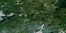
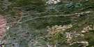
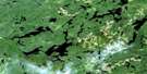
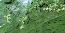
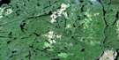
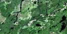
Longlac Satellite Image Map
Download Free Aerial Photo 042E15 at 1:50,000 scale
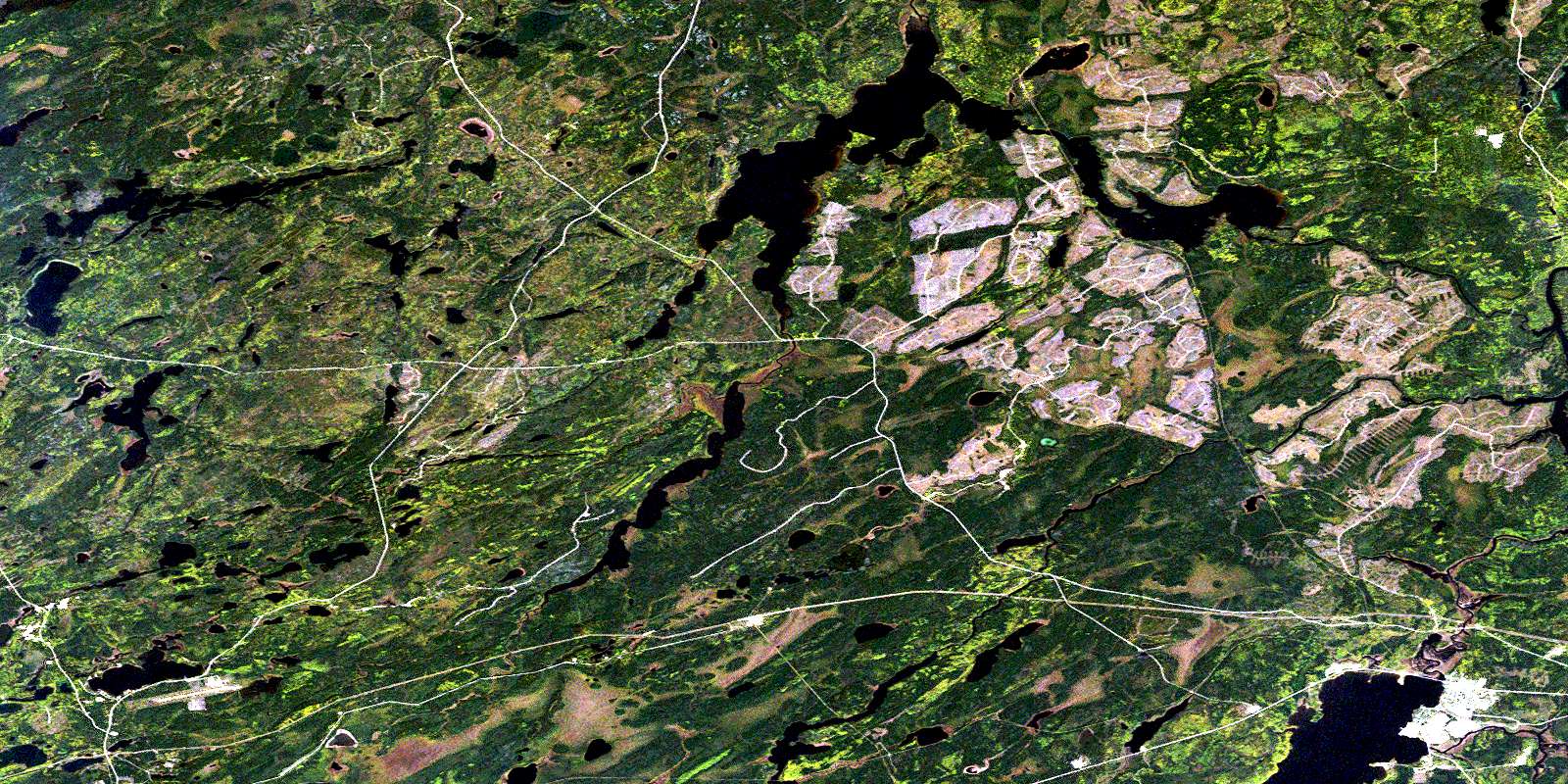
Longlac Satellite Imagery
To view this satellite map, mouse over the air photo on the right.
You can also download this satellite image map for free:
042E15 Longlac high-resolution satellite image map.
Maps for the Longlac aerial map sheet 042E15 at 1:50,000 scale are also available in these versions:
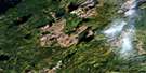
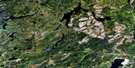
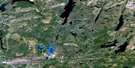
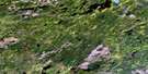
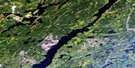
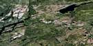
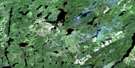
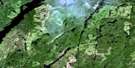
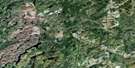
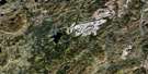
Longlac Surrounding Area Aerial Photo Maps
 |
 |
 |
 |
 |
 |
 |
 |
 |
 |
 |
 |
 |
 |
 |
 |
© Department of Natural Resources Canada. All rights reserved.
Longlac Gazetteer
The following places can be found on satellite image map 042E15 Longlac:
Longlac Satellite Image: Bays
Devilfish BayLonglac Bay
Suicide Bay
Longlac Satellite Image: Capes
Gauthier PointLonglac Satellite Image: Geographical areas
AbreyAshmore
Bain
Bickle
Cochrane
Croll
Daley
Errington
Fulford
Goulet
Houck
McQuesten
Oakes
Raynar
Longlac Satellite Image: Indian Reserves
Ginoogaming First Nation Indian Reserve 77Long Lake 58
Long Lake Indian Reserve 58
Long Lake Indian Reserve 77
Réserve indienne Ginoogaming First Nation 77
Réserve indienne Long Lake 58
Réserve indienne Long Lake 77
Longlac Satellite Image: Lakes
Aeroplane LakeAlfred Lake
Annette Lake
Ashmore Lake
Ashton Lake
Biscuit Lake
Burrows Lake
Canadensis Lake
Cotoneaster Lake
Crib Lake
Dafoe Lake
Dionne Lake
Elsie Lake
Goulet Lake
Greta Lake
Heald Lake
Hilder Lake
Houck Lake
Hutal Lake
Hutchison Lake
Isis Lake
Isobel Lake
Kenogamisis Lake
Kowka Lake
Little Kowka Lake
Little Tilia Lake
Long Lake
Lyons Lake
Manitounamaig Lake
Marie Lake
McQuesten Lake
Noel Lake
Octopus Lake
Onzebawka Lake
Papineau Lake
Poilu Lake
Potato Lake
Raynar Lake
Roddy Lake
Sedi Lake
Snowberry Lake
Suckle Lake
Tilia Lake
Tsuga Lake
Tweedpilot Lake
Tweedpilot Lake
Wapoose Lake
Longlac Satellite Image: Other municipal/district area - miscellaneous
BeardmoreNakina
Longlac Satellite Image: Conservation areas
Longlac North Conservation ReserveLonglac Satellite Image: Rivers
Ashmore CreekBawk Creek
Biscuit Creek
Burrows River
False Creek
Freddie Creek
Fulford Creek
Goulet Creek
Houck Creek
Isis Creek
Isobel Creek
Kenogami River
Kenogamisis River
Kowka Creek
Making Ground River
McQuesten Creek
Murky Creek
Octopus Creek
Reesor Creek
Rockyshore Creek
Suckle Creek
Tilia Creek
Treptow Creek
Wapoose Creek
Longlac Satellite Image: Towns
GreenstoneLonglac Satellite Image: Unincorporated areas
BawkCalong
Isis
Longlac
Octopus
© Department of Natural Resources Canada. All rights reserved.
042E Related Maps:
042E Longlac042E01 Vein Lake
042E02 Killala Lake
042E03 Dickison Lake
042E04 Gurney Lake
042E05 Barbara Lake
042E06 Wintering Lake
042E07 Spider Lake
042E08 Kagiano Lake
042E09 Pagwachuan Lake
042E10 Geraldton
042E11 Wildgoose Lake
042E12 Beardmore
042E13 North Wind Lake
042E14 Treptow Lake
042E15 Longlac
042E16 Castlebar Lake
