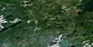
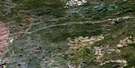
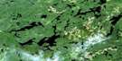
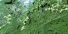
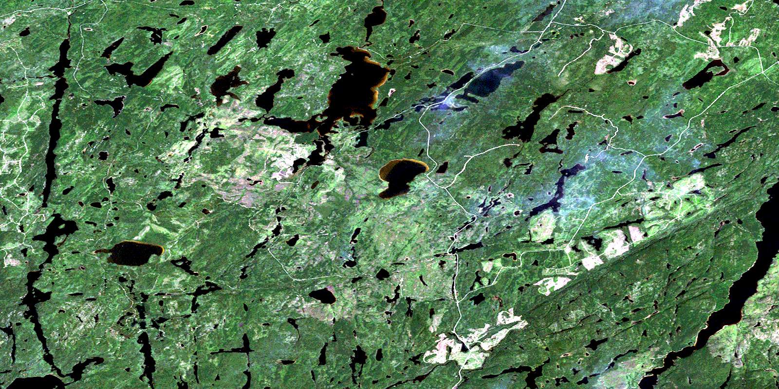
Wintering Lake Satellite Image Map
Download Free Aerial Photo 042E06 at 1:50,000 scale
Wintering Lake Satellite Imagery
To view this satellite map, mouse over the air photo on the right.
You can also download this satellite image map for free:
042E06 Wintering Lake high-resolution satellite image map.
Maps for the Wintering Lake aerial map sheet 042E06 at 1:50,000 scale are also available in these versions:
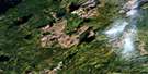
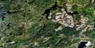
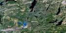
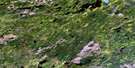
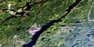
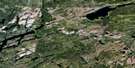
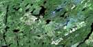
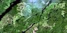
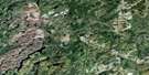
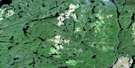
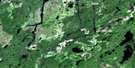
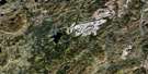
Wintering Lake Surrounding Area Aerial Photo Maps
 |
 |
 |
 |
 |
 |
 |
 |
 |
 |
 |
 |
 |
 |
 |
 |
© Department of Natural Resources Canada. All rights reserved.
Wintering Lake Gazetteer
The following places can be found on satellite image map 042E06 Wintering Lake:
Wintering Lake Satellite Image: Bays
Westside BayWintering Lake Satellite Image: Beaches
White Sand BarWintering Lake Satellite Image: Channels
Dogleg NarrowsLeftwheel Narrows
Rightwheel Narrows
Wintering Lake Satellite Image: Lakes
Boobus LakeBurtt Lake
Chorus Lake
Cowan Lake
Dickie Lake
Donahue Lake
Fecteau Lake
Fitzpatrick Lake
Flag Lake
Flail Lake
Galloway Lake
Gathering Lake
Gravel Lake
Hartley Lake
Icicle Lake
Kamuck Lake
Kawesaqua Lake
Keane Lake
Knight Lake
Little Ellis Lake
Little Rogers Lake
Long Lake
Margret Lake
McCluskey Lake
McKnight Lake
Olsen Lake
Patio Lake
Perute Lake
Professor Lake
RogersLake
Roslyn Lake
Sedge Lake
Skerrett Lake
South Beatty Lake
Southern Lake
Teesquare Lake
Tomahawk Lake
Tompson Lake
Toupee Lake
Trapnarrows Lake
Upper Roslyn Lake
Wig Lake
Wintering Lake
Wintering Lake Satellite Image: Conservation areas
Gravel River Conservation ReserveWintering Lake Satellite Image: Rivers
Candy CreekCowan Creek
Donahue Creek
Drape Creek
Felix Creek
Flail Creek
Icicle Creek
Kamuck River
Kawesaqua Creek
Keane Creek
Kenogamisis River
Margret Creek
McKnight Creek
Namewaminikan River
Patio Creek
Perute Creek
Puttock Creek
Rogers Creek
Roslyn River
South Beatty Creek
Southern Creek
Tompson Creek
Wig Creek
© Department of Natural Resources Canada. All rights reserved.
042E Related Maps:
042E Longlac042E01 Vein Lake
042E02 Killala Lake
042E03 Dickison Lake
042E04 Gurney Lake
042E05 Barbara Lake
042E06 Wintering Lake
042E07 Spider Lake
042E08 Kagiano Lake
042E09 Pagwachuan Lake
042E10 Geraldton
042E11 Wildgoose Lake
042E12 Beardmore
042E13 North Wind Lake
042E14 Treptow Lake
042E15 Longlac
042E16 Castlebar Lake
