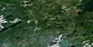
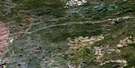
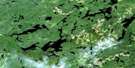
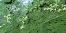
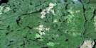
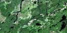
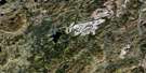
Treptow Lake Satellite Image Map
Download Free Aerial Photo 042E14 at 1:50,000 scale
Treptow Lake Satellite Imagery
To view this satellite map, mouse over the air photo on the right.
You can also download this satellite image map for free:
042E14 Treptow Lake high-resolution satellite image map.
Maps for the Treptow Lake aerial map sheet 042E14 at 1:50,000 scale are also available in these versions:
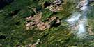
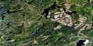
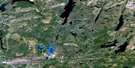
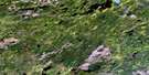
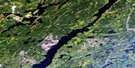
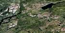
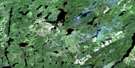
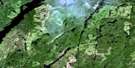
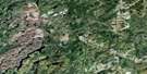
Treptow Lake Surrounding Area Aerial Photo Maps
 |
 |
 |
 |
 |
 |
 |
 |
 |
 |
 |
 |
 |
 |
 |
 |
© Department of Natural Resources Canada. All rights reserved.
Treptow Lake Gazetteer
The following places can be found on satellite image map 042E14 Treptow Lake:
Treptow Lake Satellite Image: Bays
North BayTreptow Lake Satellite Image: Geographical areas
ColterErrington
Fulford
Hipel
Kirby
Lapierre
Leduc
Legault
Lindsley
Rickaby
Treptow Lake Satellite Image: Lakes
Aeroplane LakeAldon Lake
Altitude Lake
Atigogama Lake
Bankfield Lake
Bernadine Lake
Bieber Lake
Bliss Lake
Brik Lake
Carl Lake
Cedar Lake
Clarinet Lake
Clover Lake
Daisy Lake
Delisle Lake
Dilla Lake
Dionne Lake
Dodd Lake
Dodds Lake
Dumas Lake
Eaton Lake
Edgewood Lake
Eight Lake
Elwood Lake
Fife Lake
Final Lake
Flute Lake
Fulford Lake
Fullerton Lake
Grenville Lake
Greta Lake
Hipel Lake
Jory Lake
Kirby Lake
Lapierre Lake
Little Lapierre Lake
Luk Lake
Marline Lake
Morham Lake
North Kirby Lake
Onaman Lake
Organ Lake
Piccolo Lake
Porthos Lake
Rutherford Lake
Scalpel Lake
Sunnemequat Lake
Termination Lake
Tigerlily Lake
Treptow Lake
Volcan Lake
Wildgoose Lake
Treptow Lake Satellite Image: Other municipal/district area - miscellaneous
BeardmoreNakina
Treptow Lake Satellite Image: Conservation areas
Onaman Lake Conservation ReserveTreptow Lake Satellite Image: Rivers
Altitude CreekAtigogama Creek
Ballina Creek
Burrows River
Clarinet Creek
Clover Creek
Dionne Creek
Dumas Creek
Eaton Creek
Edgewood Creek
Fulford Creek
Isobel Creek
Kawashkagama River
Kirby Creek
Lapierre Creek
Mollison Creek
Pollywog Creek
Sunnemequat Creek
Treptow Creek
Wildgoose Creek
Treptow Lake Satellite Image: Towns
GreenstoneTreptow Lake Satellite Image: Unincorporated areas
Keemle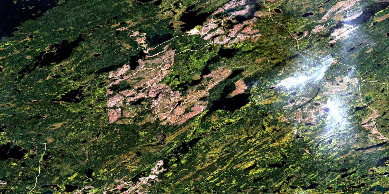
© Department of Natural Resources Canada. All rights reserved.
042E Related Maps:
042E Longlac042E01 Vein Lake
042E02 Killala Lake
042E03 Dickison Lake
042E04 Gurney Lake
042E05 Barbara Lake
042E06 Wintering Lake
042E07 Spider Lake
042E08 Kagiano Lake
042E09 Pagwachuan Lake
042E10 Geraldton
042E11 Wildgoose Lake
042E12 Beardmore
042E13 North Wind Lake
042E14 Treptow Lake
042E15 Longlac
042E16 Castlebar Lake
