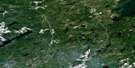
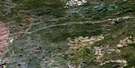
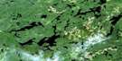
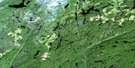
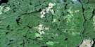
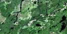
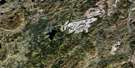
North Wind Lake Satellite Image Map
Download Free Aerial Photo 042E13 at 1:50,000 scale
North Wind Lake Satellite Imagery
To view this satellite map, mouse over the air photo on the right.
You can also download this satellite image map for free:
042E13 North Wind Lake high-resolution satellite image map.
Maps for the North Wind Lake aerial map sheet 042E13 at 1:50,000 scale are also available in these versions:
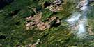
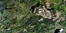
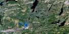
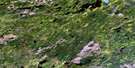
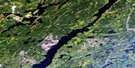
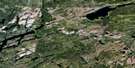
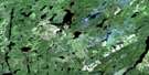
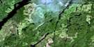
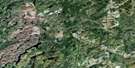
North Wind Lake Surrounding Area Aerial Photo Maps
 |
 |
 |
 |
 |
 |
 |
 |
 |
 |
 |
 |
 |
 |
 |
 |
© Department of Natural Resources Canada. All rights reserved.
North Wind Lake Gazetteer
The following places can be found on satellite image map 042E13 North Wind Lake:
North Wind Lake Satellite Image: Bays
Humboldt BayNorth Wind Lake Satellite Image: Falls
Chute FallsNorth Wind Lake Satellite Image: Geographical areas
ElmhirstIrwin
Leduc
Meader
Pifher
Rickaby
Sandra
Walters
North Wind Lake Satellite Image: Islands
Kingston IslandNorth Wind Lake Satellite Image: Lakes
Aldon LakeAlma Lake
Atigogama Lake
Ballina Lake
Barnspoon Lake
Bean Lake
Calvert Lake
Castlewood Lake
Con Lake
Conglomerate Lake
Coyle Lake
Crooked Green Lake
Daphne Lake
Dennis Lake
Dilla Lake
Dougall Lake
East Coyle Lake
Eastbrook Lake
Elmhirst Lake
Embee Lake
Expansion Lake
Fairview Lake
Forge Lake
Gemini Lake
Grasser Lake
Hindson Lake
Kaby Lake
Kenneth Lake
Lac Nipigon
Lake Nipigon
Martin Lake
McConnell Lake
Merl Lake
Miner Lake
Musca Lake
North Wind Lake
Oasis Lake
Olson Lake
Onaman Lake
O'Neil Lake
Peddle Lake
Pifher Lake
Pinel Lake
Pinigwim Lake
Pirum Lake
Pontoon Lake
Schroder Lake
Senator Lake
Silhouette Lake
Termination Lake
Tyrol Lake
Wedlock Lake
Wilkinson Lake
North Wind Lake Satellite Image: Other municipal/district area - miscellaneous
BeardmoreNakina
North Wind Lake Satellite Image: Conservation areas
Onaman Lake Conservation ReserveNorth Wind Lake Satellite Image: Rapids
Barnum Green RapidsMartin Rapids
North Wind Lake Satellite Image: Rivers
Atigogama CreekBallina Creek
Bean Creek
Castlewood Creek
Con Creek
Coyle Creek
Crooked Green Creek
Dennis Creek
East Stewart Creek
Fairview Creek
Forge Creek
Humboldt Creek
Kaby Creek
Kenneth Creek
Littlelake River
Martin Creek
McConnell Creek
Namewaminikan River
North Onaman River
Onaman River
O'Neil Creek
Pinel Creek
Pinigwim Creek
Stewart Creek
Tyrol River
North Wind Lake Satellite Image: Towns
Greenstone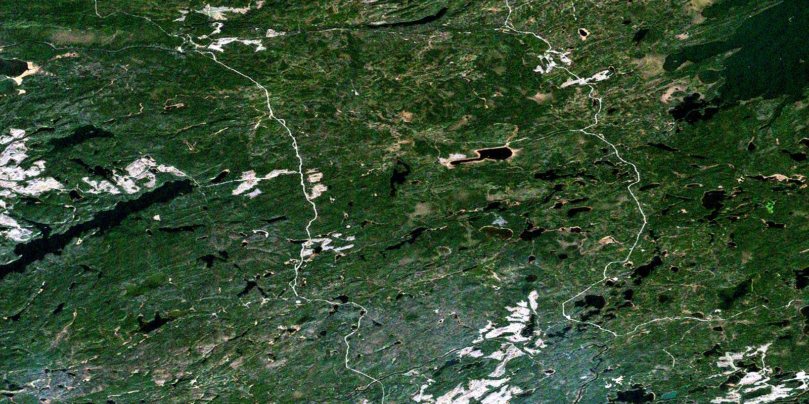
© Department of Natural Resources Canada. All rights reserved.
042E Related Maps:
042E Longlac042E01 Vein Lake
042E02 Killala Lake
042E03 Dickison Lake
042E04 Gurney Lake
042E05 Barbara Lake
042E06 Wintering Lake
042E07 Spider Lake
042E08 Kagiano Lake
042E09 Pagwachuan Lake
042E10 Geraldton
042E11 Wildgoose Lake
042E12 Beardmore
042E13 North Wind Lake
042E14 Treptow Lake
042E15 Longlac
042E16 Castlebar Lake
