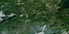
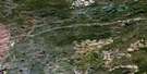
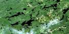
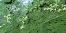
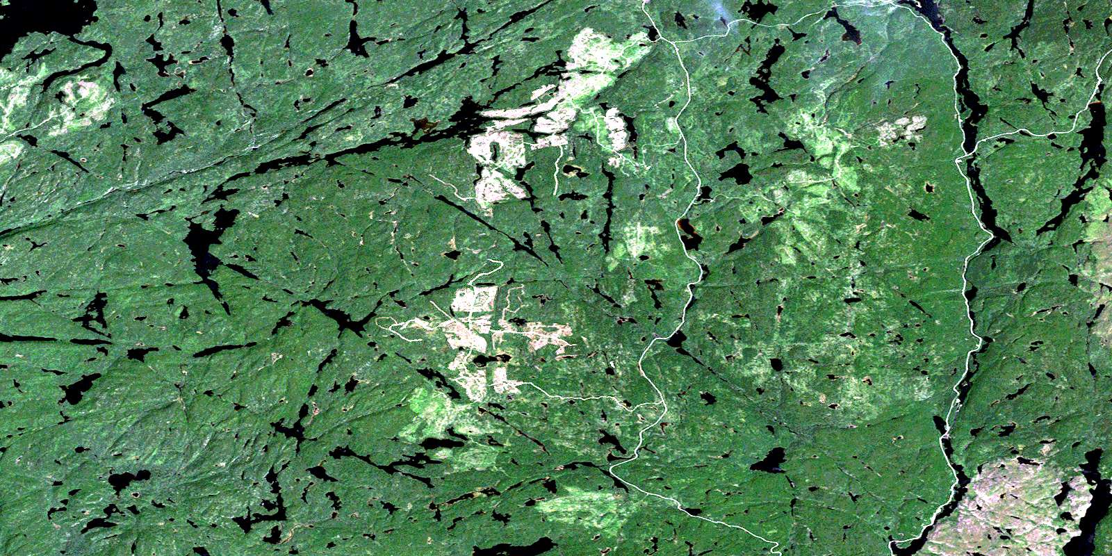
Dickison Lake Satellite Image Map
Download Free Aerial Photo 042E03 at 1:50,000 scale
Dickison Lake Satellite Imagery
To view this satellite map, mouse over the air photo on the right.
You can also download this satellite image map for free:
042E03 Dickison Lake high-resolution satellite image map.
Maps for the Dickison Lake aerial map sheet 042E03 at 1:50,000 scale are also available in these versions:
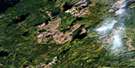
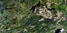
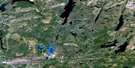
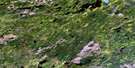
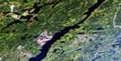
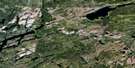
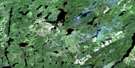
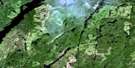
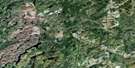
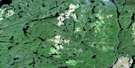
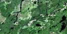
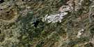
Dickison Lake Surrounding Area Aerial Photo Maps
 |
 |
 |
 |
 |
 |
 |
 |
 |
 |
 |
 |
 |
 |
 |
 |
© Department of Natural Resources Canada. All rights reserved.
Dickison Lake Gazetteer
The following places can be found on satellite image map 042E03 Dickison Lake:
Dickison Lake Satellite Image: Channels
Diversion ChannelEightmile Narrows
Threemile Narrows
Dickison Lake Satellite Image: Lakes
Aguasabon LakeBaldwin Lake
Beavertrap Lake
Beshta Lake
Big Duck Lake
Boil Lake
Bray Lake
Burslem Lake
Cable Lake
Carib Lake
Catlonite Lake
Chance Lake
Chapman Lake
Chorus Lake
Coffee Lake
Dickison Lake
Dinkin Lake
Diversion Lake
Ensign Lake
Felix Lake
Fitzpatrick Lake
Flag Lake
Flail Lake
Flicker Lake
Gravel Lake
Greenhedge Lake
Harvie Lake
Jeri Lake
Kamuck Lake
Kenewabik Lake
Little Aguasabon Lake
Little Duck Lake
Liver Lake
Long Lake
Loon Lake
Loonshot Lake
MacAdam Lake
McGoey Lake
Nickel Lake
Northline Lake
Northpine Lake
Owl Lake
Rocke Lake
Rope Lake
Roslyn Lake
Sandridge Lake
Second Lake
Shy Lake
Sinclair Lake
Southpine Lake
Stingray Lake
Sulphur Lake
Tonimac Lake
Trio Lake
Upper Roslyn Lake
Viola Lake
Winston Lake
Dickison Lake Satellite Image: Conservation areas
Gravel River Conservation ReserveThree Mile Narrows Conservation Reserve
Dickison Lake Satellite Image: Rivers
Aguasabon RiverBig Duck Creek
Bray Creek
Cable Creek
Carib Creek
Catlonite Creek
Felix Creek
Gravel River
Hanes Creek
Harvie Creek
Kamuck River
Kenogamisis River
Little Aguasabon River
Liver Creek
Owl Creek
Pays Plat River
Rocke Creek
Roslyn River
String Creek
Subterranean Creek
Swift Creek
Trio Creek
© Department of Natural Resources Canada. All rights reserved.
042E Related Maps:
042E Longlac042E01 Vein Lake
042E02 Killala Lake
042E03 Dickison Lake
042E04 Gurney Lake
042E05 Barbara Lake
042E06 Wintering Lake
042E07 Spider Lake
042E08 Kagiano Lake
042E09 Pagwachuan Lake
042E10 Geraldton
042E11 Wildgoose Lake
042E12 Beardmore
042E13 North Wind Lake
042E14 Treptow Lake
042E15 Longlac
042E16 Castlebar Lake
