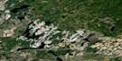
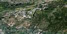
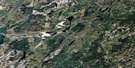
Nagagamisis Lake Satellite Image Map
Download Free Aerial Photo 042F07 at 1:50,000 scale
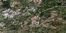
Nagagamisis Lake Satellite Imagery
To view this satellite map, mouse over the air photo on the right.
You can also download this satellite image map for free:
042F07 Nagagamisis Lake high-resolution satellite image map.
Maps for the Nagagamisis Lake aerial map sheet 042F07 at 1:50,000 scale are also available in these versions:
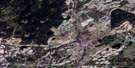
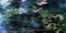
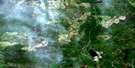
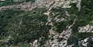
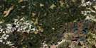
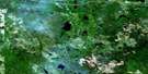
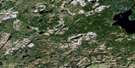
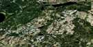
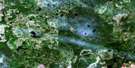
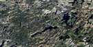
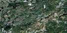
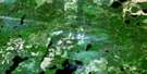
Nagagamisis Lake Surrounding Area Aerial Photo Maps
 |
 |
 |
 |
 |
 |
 |
 |
 |
 |
 |
 |
 |
 |
 |
 |
© Department of Natural Resources Canada. All rights reserved.
Nagagamisis Lake Gazetteer
The following places can be found on satellite image map 042F07 Nagagamisis Lake:
Nagagamisis Lake Satellite Image: Bays
Deep BayDuck Bay
Moose Bay
Nagagamisis Lake Satellite Image: Capes
Rocky PointNagagamisis Lake Satellite Image: Channels
The NarrowsNagagamisis Lake Satellite Image: Geographical areas
ElgieFrost
Haig
Hiawatha
Lessard
McEwing
Nagagami
Newlands
Wicksteed
Nagagamisis Lake Satellite Image: Lakes
Alex LakeAxe Lake
Bear Lake
Bogert Lake
Crew Lake
Elgie Lake
Elsie Lake
Garnet Lake
Haig Lake
Hans Lake
Hart Lake
Helen Lake
Hiawatha Lake
Humberstone Lake
Ice Lake
Jog Lake
Lennon Lake
Lily Lake
Lone Cabin Lake
Marten Lake
Marten Lake
Mefrau Lake
Menzie Lake
Moose Lake
Nagagami Lake
Nagagamisis Lake
Newlands Lake
Nord Lake
Norton Lake
Park Lake
Puzzle Lake
Raft Lake
Ronald Lake
Seven and a Half Lake
South Lake
St. Onge's Lake
Tomkew's Lake
Tondern Lake
Wicksteed Lake
Wigwam Lake
Nagagamisis Lake Satellite Image: Other municipal/district area - miscellaneous
HornepayneWicksteed
Nagagamisis Lake Satellite Image: Conservation areas
Nagagami Lake Provincial Nature ReserveNagagamisis Provincial Park
Nagagamisis Lake Satellite Image: Rapids
Couchiching RapidsSagi Rapids
Nagagamisis Lake Satellite Image: Rivers
Blackwater CreekCedar Creek
Cree Creek
Frost Creek
Haig Creek
Hans Creek
Lennon Creek
McEwing Creek
Menzie Creek
Nagagami River
Nagagamisis River
Newlands Creek
Norton Creek
Obakamiga River
Seven and a Half Creek
Tondern Creek
Wigwam Creek
Nagagamisis Lake Satellite Image: Road features
Couchiching PortageSagi Portage
Nagagamisis Lake Satellite Image: Unincorporated areas
LennonNagagamisis Lake Satellite Image: Low vegetation
The Meadows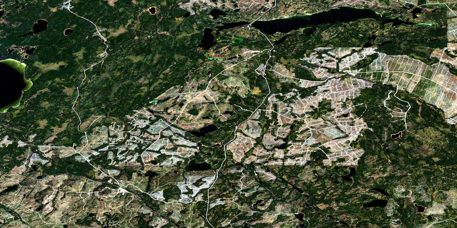
© Department of Natural Resources Canada. All rights reserved.
042F Related Maps:
042F Hornepayne042F01 Oba
042F02 Hornepayne
042F03 Obakamiga Lake
042F04 Manitouwadge
042F05 White Otter River
042F06 Nagagami Lake
042F07 Nagagamisis Lake
042F08 Pope Creek
042F09 Nassau Lake
042F10 Ahmabel Lake
042F11 Osawin River
042F12 Kassagimini Lake
042F13 Flint Lake
042F14 Eureka Lake
042F15 Pitopiko River
042F16 Constance Lake
