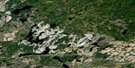
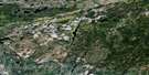
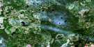
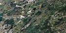
Nagagami Lake Satellite Image Map
Download Free Aerial Photo 042F06 at 1:50,000 scale
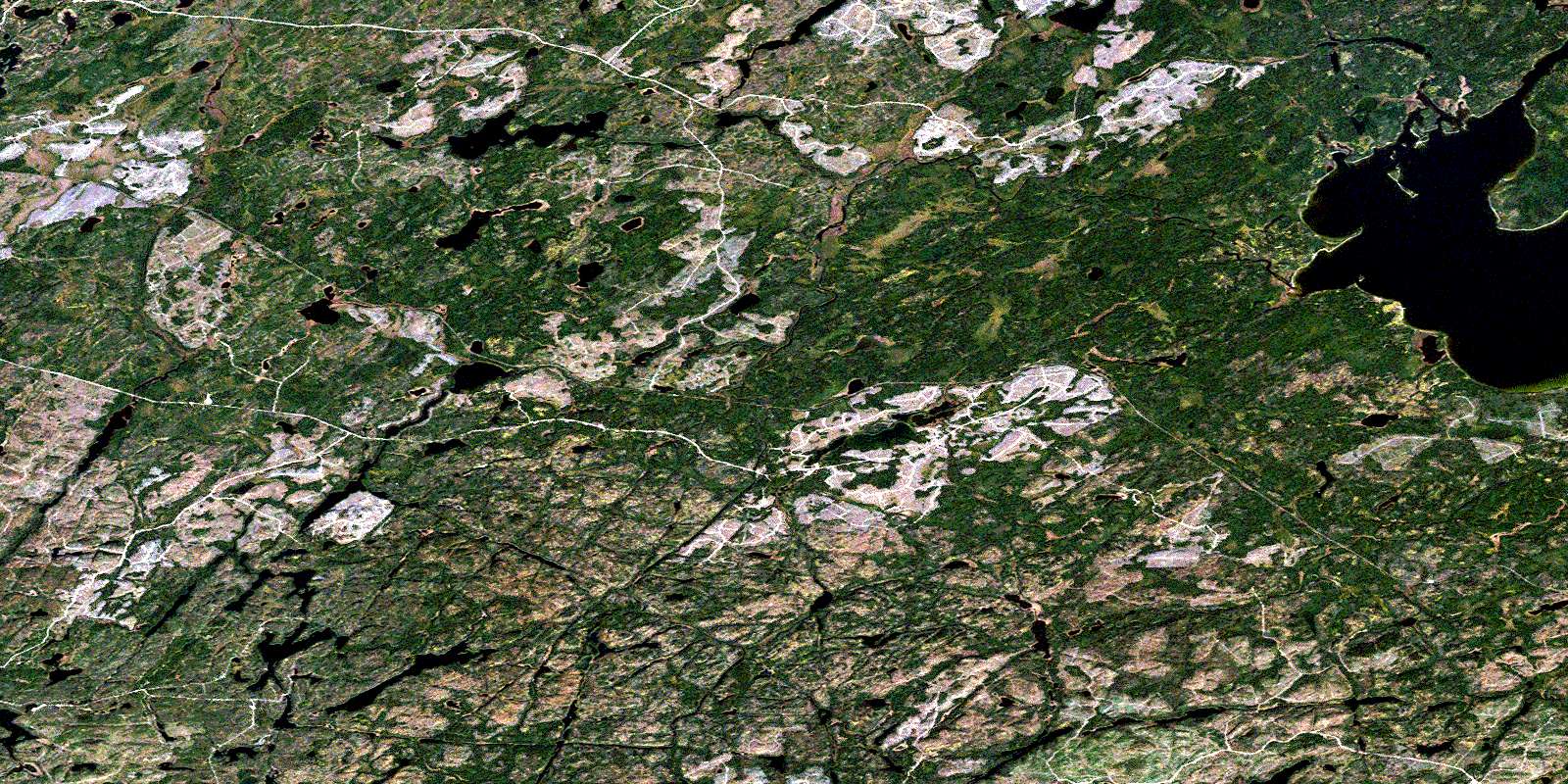
Nagagami Lake Satellite Imagery
To view this satellite map, mouse over the air photo on the right.
You can also download this satellite image map for free:
042F06 Nagagami Lake high-resolution satellite image map.
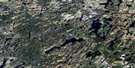
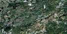
Maps for the Nagagami Lake aerial map sheet 042F06 at 1:50,000 scale are also available in these versions:
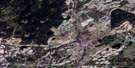
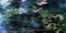
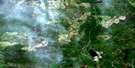
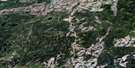
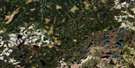
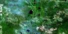
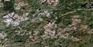
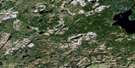
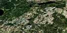
Nagagami Lake Surrounding Area Aerial Photo Maps
 |
 |
 |
 |
 |
 |
 |
 |
 |
 |
 |
 |
 |
 |
 |
 |
© Department of Natural Resources Canada. All rights reserved.
Nagagami Lake Gazetteer
The following places can be found on satellite image map 042F06 Nagagami Lake:
Nagagami Lake Satellite Image: Bays
Deep BaySandy Bay
Whitefish Bay
Nagagami Lake Satellite Image: Capes
Chuck's PointNagagami Lake Satellite Image: Channels
Pike AlleyNagagami Lake Satellite Image: Geographical areas
FlandersFoch
Frances
Hiawatha
Lessard
Nagagami
Nagagami Lake Satellite Image: Islands
Foch IslandJoe's Island
Twin Islands
Nagagami Lake Satellite Image: Lakes
Adik LakeBearskull Lake
Beaver Lake
Black Beaver Lake
Bound Lake
Dog Lake
East Hillsport Lake
Fields Lake
Flanders Lake
Fran Lake
Grassy Lake
Hiawatha Lake
Hitch Lake
Horseshoe Lake
Lessard Lake
Lift Over Lake
Linbarr Lake
Lone Cabin Lake
Mavis Lake
Mooseskull Lake
Nagagami Lake
Offset Lake
Osaluse Lake
Osawin Lake
Overtrack Lake
Phillip Lake
Poppy Lake
Puttock Lake
Redfin Lake
Sandy Lake
Slipknot Lake
Ten Minute Lake
Tondern Lake
Upper Flanders Lake
Nagagami Lake Satellite Image: Conservation areas
Nagagami Lake Provincial Nature ReserveNagagami Lake Satellite Image: Rapids
Elbow RapidsHilltop Rapids
Loop Rapids
Weir Rapids
Nagagami Lake Satellite Image: Rivers
Adik CreekBound Creek
Flanders River
Foch River
Fran Creek
Hiawatha Creek
Loop Creek
Mavis Creek
Mileage 17 Creek
Obakamiga River
Offset Creek
Osawin River
Overtrack Creek
Phillip Creek
Pody Creek
Puttock Creek
Tondern Creek
Vison Creek
Nagagami Lake Satellite Image: Road features
Bare PortageBear Portage
Burnt Portage
Elbow Portage
Hilltop Portage
Loop Portage
Weir Portage
Nagagami Lake Satellite Image: Unincorporated areas
AdikLeigh
Nagagami River
Osawin
Tondern
© Department of Natural Resources Canada. All rights reserved.
042F Related Maps:
042F Hornepayne042F01 Oba
042F02 Hornepayne
042F03 Obakamiga Lake
042F04 Manitouwadge
042F05 White Otter River
042F06 Nagagami Lake
042F07 Nagagamisis Lake
042F08 Pope Creek
042F09 Nassau Lake
042F10 Ahmabel Lake
042F11 Osawin River
042F12 Kassagimini Lake
042F13 Flint Lake
042F14 Eureka Lake
042F15 Pitopiko River
042F16 Constance Lake
