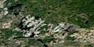
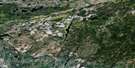
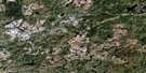
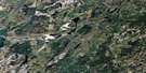
Eureka Lake Satellite Image Map
Download Free Aerial Photo 042F14 at 1:50,000 scale
Eureka Lake Satellite Imagery
To view this satellite map, mouse over the air photo on the right.
You can also download this satellite image map for free:
042F14 Eureka Lake high-resolution satellite image map.
Maps for the Eureka Lake aerial map sheet 042F14 at 1:50,000 scale are also available in these versions:
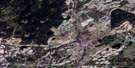
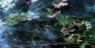
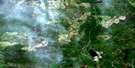
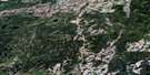
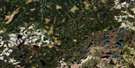
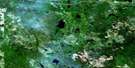
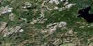
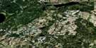
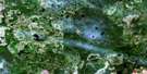
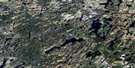
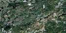
Eureka Lake Surrounding Area Aerial Photo Maps
 |
 |
 |
 |
 |
 |
 |
 |
 |
 |
 |
 |
 |
 |
 |
 |
© Department of Natural Resources Canada. All rights reserved.
Eureka Lake Gazetteer
The following places can be found on satellite image map 042F14 Eureka Lake:
Eureka Lake Satellite Image: Geographical areas
BellBicknell
Boyce
Burrell
Clavet
Cochrane
Henderson
Kohler
Shuel
Eureka Lake Satellite Image: Lakes
Burrell LakeClark Lake
Eastside Lake
Eureka Lake
Finger Lake
Henderson Lake
Jinx Lake
Korky Lake
Lemon Lake
Little Sunshine Lake
Lynx Lake
Savoff Lake
Shuel Lake
Sunshine Lake
Eureka Lake Satellite Image: Rivers
Airfield CreekBicknell River
Burrell Creek
Clark Creek
Eastside River
Four Mile Creek
Henderson Creek
Korky Creek
Mercer Creek
Mistake River
North Pagwachuan River
Osawin River
Otasawian River
Pagwachuan River
Savoff River
Sunshine Creek
Eureka Lake Satellite Image: Unincorporated areas
Teltaka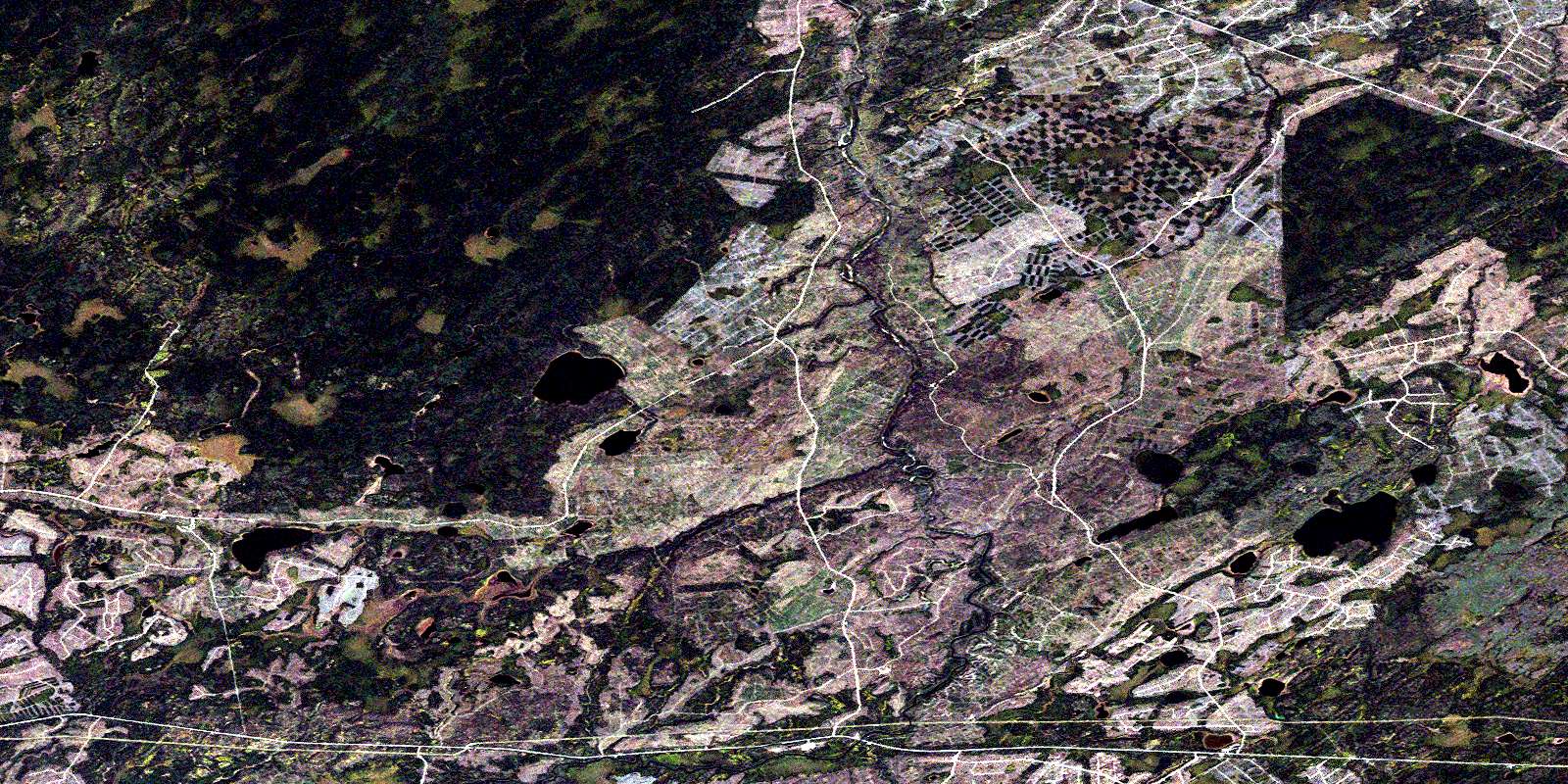
© Department of Natural Resources Canada. All rights reserved.
042F Related Maps:
042F Hornepayne042F01 Oba
042F02 Hornepayne
042F03 Obakamiga Lake
042F04 Manitouwadge
042F05 White Otter River
042F06 Nagagami Lake
042F07 Nagagamisis Lake
042F08 Pope Creek
042F09 Nassau Lake
042F10 Ahmabel Lake
042F11 Osawin River
042F12 Kassagimini Lake
042F13 Flint Lake
042F14 Eureka Lake
042F15 Pitopiko River
042F16 Constance Lake
