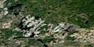
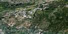
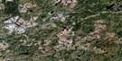
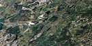
Manitouwadge Satellite Image Map
Download Free Aerial Photo 042F04 at 1:50,000 scale
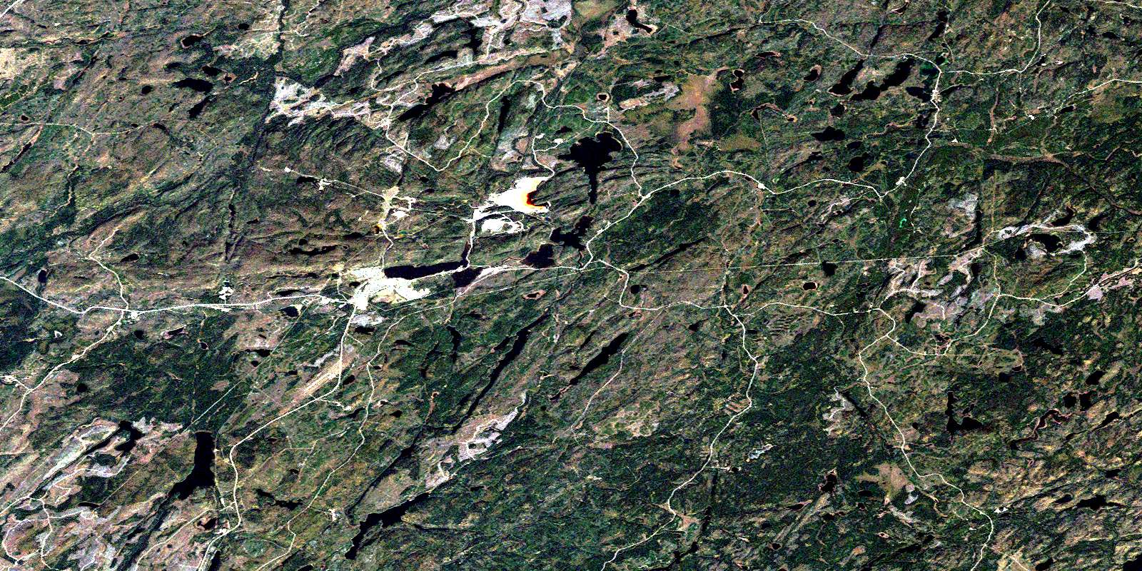
Manitouwadge Satellite Imagery
To view this satellite map, mouse over the air photo on the right.
You can also download this satellite image map for free:
042F04 Manitouwadge high-resolution satellite image map.
Maps for the Manitouwadge aerial map sheet 042F04 at 1:50,000 scale are also available in these versions:
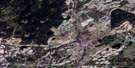
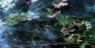
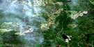
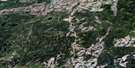
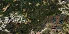
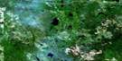
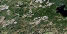
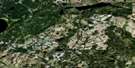
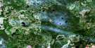
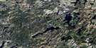
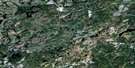
Manitouwadge Surrounding Area Aerial Photo Maps
 |
 |
 |
 |
 |
 |
 |
 |
 |
 |
 |
 |
 |
 |
 |
 |
© Department of Natural Resources Canada. All rights reserved.
Manitouwadge Gazetteer
The following places can be found on satellite image map 042F04 Manitouwadge:
Manitouwadge Satellite Image: Geographical areas
CecilDavies
Gemmell
Gertrude
Grenville
Herbert
Leslie
Mapledoram
Nickle
Roberta
Manitouwadge Satellite Image: Lakes
Agam LakeAgonzon Lake
Banana Lake
Barehead Lake
Billet Lake
Blackman Lake
Blades Lake
Cadawaja Lake
Chicken Farm Lake
Cracknell Lake
Davis Lake
Dead Lake
Dirty Lake
Dorothy Lake
Dragon Lake
Emerald Lake
Faries Lake
Fox Lake
Fred Lake
Gaffhook Lake
Garnet Lake
Garnham Lake
Gaug Lake
Gaugino Lake
Helicopter Lake
Huggard Lake
Ice Cream Lake
Janet Lake
Joe Lake
Kaginu Lake
Kern Lake
Lake A
Larry Lake
Leach Lake
Legace Lake
Little Macutagon Lake
Little Manitouwadge Lake
Little Mose Lake
Loken Lake
Lorne Lake
Lower Trapper Lake
Luckyshoe Lake
Macutagon Ponds
Manitouwadge Lake
Manitouwadge Lake
McGraw Lake
Mickey Lake
Mills Lake
Morley Lake
Mose Lake
Moshkinabi Lake
Munro Lake
One Otter Lake
Peggy Lake
Perry Lake
Poshtar Lake
Pusamakwa Lake
Rabbitskin Lake
Rawluk Lake
Rudder Lake
Russell Lake
Sand Lake
Schist Lake
Shmoo Lake
Slim Lake
Stag Lake
Straight Lake
Swill Lake
Thompson Lake
Tickle Lake
Turcak Lake
Twist Lake
Upper Garnham Lake
Upper Trapper Lake
Wagush Lake
Wowun Lake
Manitouwadge Satellite Image: Other municipal/district area - miscellaneous
ManitouwadgeManitouwadge Satellite Image: Rivers
Banana CreekBarehead Creek
Black River
Blesky Creek
Cadawaja Creek
Fox Creek
Gaffhook Creek
Gutcher Creek
Ice Cream Creek
Ice Creek
Little Nama Creek
Lorne Creek
Macutagon Creek
McGraw Creek
Morley Creek
Nama Creek
Rabbitskin Creek
Rudder Creek
Russell Creek
Slingshot Creek
Smoke Creek
Waskisk Creek
Manitouwadge Satellite Image: Unincorporated areas
BareheadGeco
Manitouwadge
Willroy
© Department of Natural Resources Canada. All rights reserved.
042F Related Maps:
042F Hornepayne042F01 Oba
042F02 Hornepayne
042F03 Obakamiga Lake
042F04 Manitouwadge
042F05 White Otter River
042F06 Nagagami Lake
042F07 Nagagamisis Lake
042F08 Pope Creek
042F09 Nassau Lake
042F10 Ahmabel Lake
042F11 Osawin River
042F12 Kassagimini Lake
042F13 Flint Lake
042F14 Eureka Lake
042F15 Pitopiko River
042F16 Constance Lake
