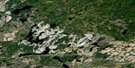
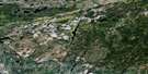
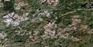
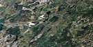
Hornepayne Satellite Image Map
Download Free Aerial Photo 042F02 at 1:50,000 scale
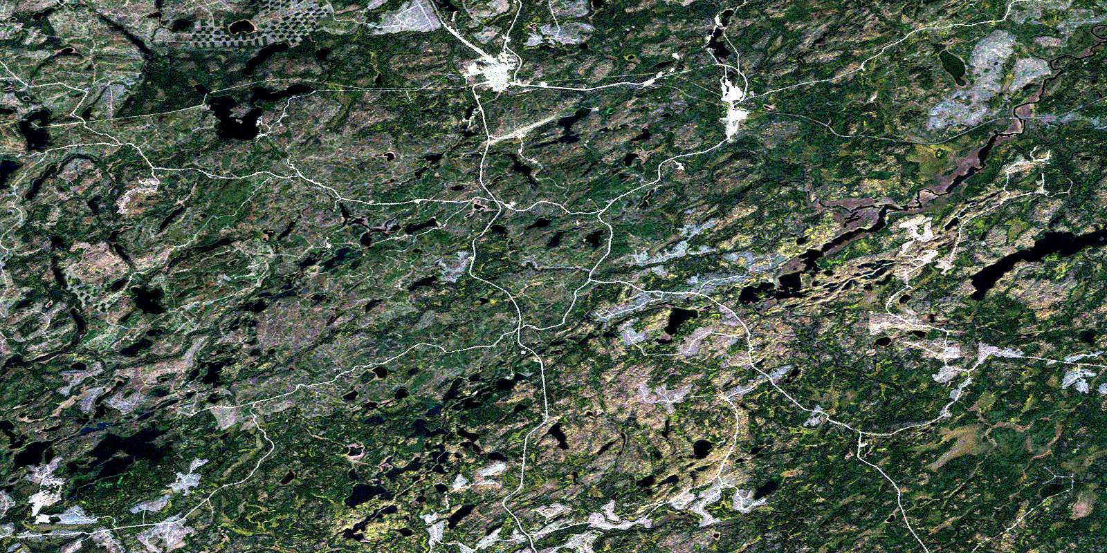
Hornepayne Satellite Imagery
To view this satellite map, mouse over the air photo on the right.
You can also download this satellite image map for free:
042F02 Hornepayne high-resolution satellite image map.
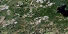
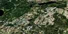
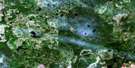
Maps for the Hornepayne aerial map sheet 042F02 at 1:50,000 scale are also available in these versions:
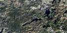
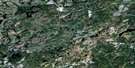
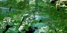
Hornepayne Surrounding Area Aerial Photo Maps
 |
 |
 |
 |
 |
 |
 |
 |
 |
 |
 |
 |
 |
 |
 |
 |
© Department of Natural Resources Canada. All rights reserved.
Hornepayne Gazetteer
The following places can be found on satellite image map 042F02 Hornepayne:
Hornepayne Satellite Image: Bays
Shadrock BayHornepayne Satellite Image: Capes
Cedar PointHornepayne Satellite Image: Geographical areas
BayfieldBeaton
Chelsea
Haig
Larkin
Lascelles
Lessard
Lipton
Wicksteed
Hornepayne Satellite Image: Islands
Canary IslandCrossover Island
Hillman Island
Schmidt's Island
Hornepayne Satellite Image: Lakes
Agreen LakeAngle Lake
Armitage Lake
Banana Lake
Bay Lake
Bayfield Lake
Beavertrap Lake
Belanger Lake
Black Beaver Lake
Black Fox Lake
Blue Lake
Bobcat Lake
Bone Lake
Buffalo Island Lake
Buffington Lake
Burnt Lake
Cat Lake
Charlie May's Lake
Chelsea Lake
Corner Lake
Cree Lake
Deadwood Lake
Dismal Lake
Doran Lake
East Government Lake
Fall-In Lake
First Government Lake
Government Lake
Gretchel Lake
Haken Lake
Hornepayne Lakes
Ice Lake
Jay Lake
Johnson Lake
Laird's Lake
Lake Placid
Larkin Lake
Lascelles Lake
Little Chelsea Lake
Lovely Lake
Lower Bobcat Lake
Marten Lake
McCoy Lake
Mitchell Lake
Moonlight Lake
Muskrat's House Lake
Newton Lake
Norn Lake
Otter Lake
Rat Lake
Sand Lake
Sandy's Lake
Savoie Lake
Sawmill Lake
Second Charlie May's Lake
Second Government Lake
Shadrock Lake
Shaw Lake
Smokey Lake
South Bayfield Lake
Spectacle Lake
Spurline Lake
St. Onge's Lake
That Man's Lake
The Other Man's Lake
This Man's Lake
Wabos Lake
West Larkin Lake
White Owl Lake
Whitepine Lake
Wilson Lake
Hornepayne Satellite Image: Mountains
Chelsea MountainHornepayne Satellite Image: Other municipal/district area - miscellaneous
HornepayneWicksteed
Hornepayne Satellite Image: Rapids
Island RapidsHornepayne Satellite Image: Rivers
Beaton RiverBobcat Creek
Chelsea Creek
Cree Creek
Deadwater Creek
Gretchel Creek
Hans Creek
Harstone Creek
Hornepayne Creek
Jackfish River
Larkin Creek
Lascelles Creek
Lennon Creek
Little Chelsea Creek
Little Jackfish River
Newton Creek
Otter Creek
Penhurst Creek
Shadrock Creek
Shekak River
West Beaton River
White Owl Creek
Hornepayne Satellite Image: Road features
Jackpine PortageHornepayne Satellite Image: Unincorporated areas
BeckerCree
Hornepayne
Morrison River Landing
Shekak
© Department of Natural Resources Canada. All rights reserved.
042F Related Maps:
042F Hornepayne042F01 Oba
042F02 Hornepayne
042F03 Obakamiga Lake
042F04 Manitouwadge
042F05 White Otter River
042F06 Nagagami Lake
042F07 Nagagamisis Lake
042F08 Pope Creek
042F09 Nassau Lake
042F10 Ahmabel Lake
042F11 Osawin River
042F12 Kassagimini Lake
042F13 Flint Lake
042F14 Eureka Lake
042F15 Pitopiko River
042F16 Constance Lake
