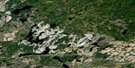
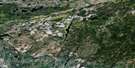
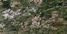
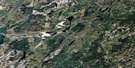
Nassau Lake Satellite Image Map
Download Free Aerial Photo 042F09 at 1:50,000 scale
Nassau Lake Satellite Imagery
To view this satellite map, mouse over the air photo on the right.
You can also download this satellite image map for free:
042F09 Nassau Lake high-resolution satellite image map.
Maps for the Nassau Lake aerial map sheet 042F09 at 1:50,000 scale are also available in these versions:
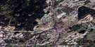
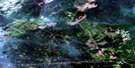
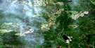
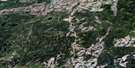
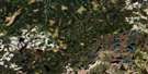
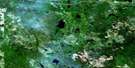
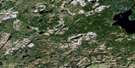
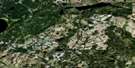
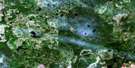
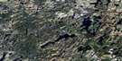
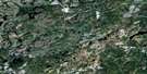
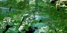
Nassau Lake Surrounding Area Aerial Photo Maps
 |
 |
 |
 |
 |
 |
 |
 |
 |
 |
 |
 |
 |
 |
 |
 |
© Department of Natural Resources Canada. All rights reserved.
Nassau Lake Gazetteer
The following places can be found on satellite image map 042F09 Nassau Lake:
Nassau Lake Satellite Image: Geographical areas
ArnottCochrane
Gill
Irish
Landry
Langemarck
McEwing
McMillan
Nassau
Stoddart
Storey
Studholme
Verdun
Nassau Lake Satellite Image: Lakes
Angelina LakeBalfour Lake
Bee Lake
Boyle Lake
Carey Lake
Dory Lake
Fleming Lake
Florin Lake
Flory Lake
Forde Lake
Hart Lake
Honey Lake
Irish Lake
Jeanette Lake
Langemarck Lake
Little Hart Lake
Little Verdun Lake
Marie Lake
Mark Lake
Mars Lake
Monte Lake
Nassau Lake
Paddy Lake
Petit Lake
Rabbit Lake
Samuel Lake
Scottie Lake
Sharm Lake
Storey Lake
Tobe Lake
Token Lake
Turgeon Lake
Valentine Lake
Verbea Lake
Verdun Lake
Nassau Lake Satellite Image: Conservation areas
Dubé Creek Iceberg Keel Marks Conservation ReserveNassau Lake Satellite Image: Rapids
Caribou RapidsNassau Lake Satellite Image: Rivers
Auden CreekBee Creek
Boyle Creek
Dora Creek
Dory Creek
Dubé Creek
Fleming Creek
Forde Creek
Irish Creek
Kabinakagami River
Marie Creek
Mark Creek
Mars Creek
Mattawishkwia River
Mink River
Monte Creek
Nassau Creek
Roney Creek
Samuel Creek
Scottie Creek
Shekak River
Skunk River
Studholme Creek
Valentine River
Verbea Creek
Verdun Creek
Nassau Lake Satellite Image: Unincorporated areas
Nassau Lake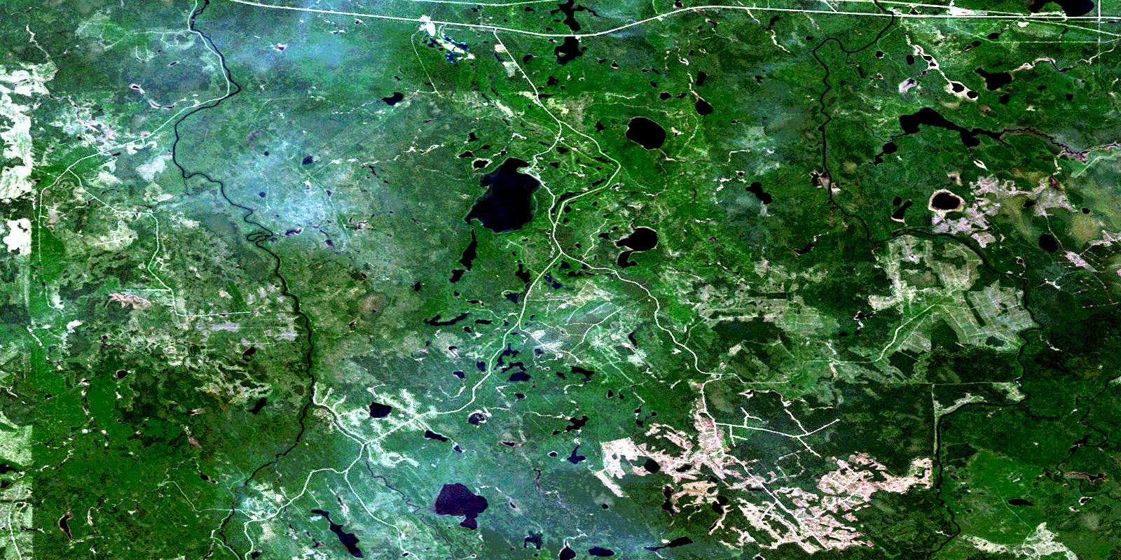
© Department of Natural Resources Canada. All rights reserved.
042F Related Maps:
042F Hornepayne042F01 Oba
042F02 Hornepayne
042F03 Obakamiga Lake
042F04 Manitouwadge
042F05 White Otter River
042F06 Nagagami Lake
042F07 Nagagamisis Lake
042F08 Pope Creek
042F09 Nassau Lake
042F10 Ahmabel Lake
042F11 Osawin River
042F12 Kassagimini Lake
042F13 Flint Lake
042F14 Eureka Lake
042F15 Pitopiko River
042F16 Constance Lake
