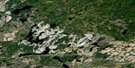
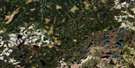
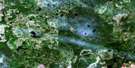
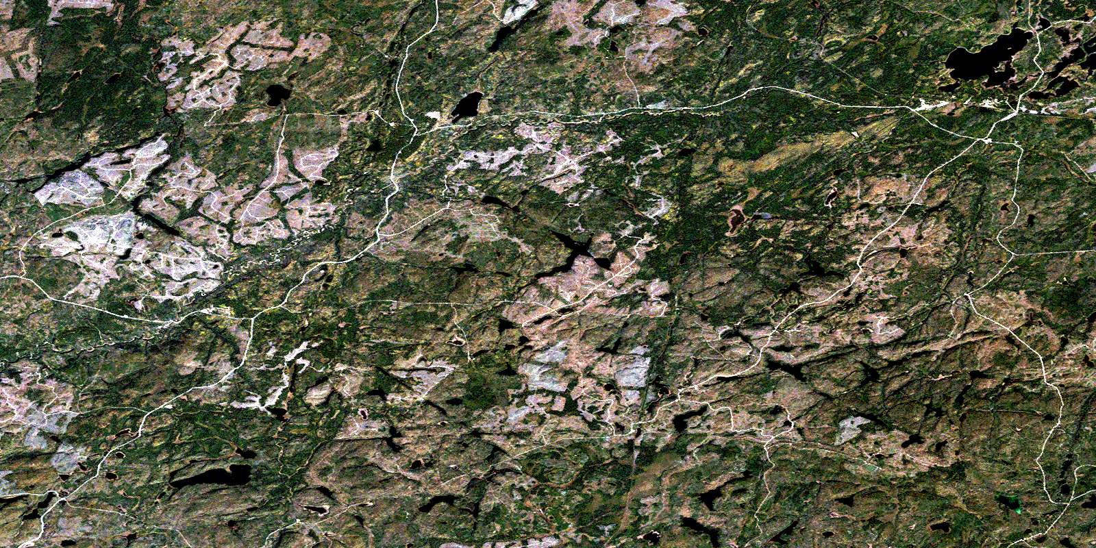
White Otter River Satellite Image Map
Download Free Aerial Photo 042F05 at 1:50,000 scale
White Otter River Satellite Imagery
To view this satellite map, mouse over the air photo on the right.
You can also download this satellite image map for free:
042F05 White Otter River high-resolution satellite image map.
Maps for the White Otter River aerial map sheet 042F05 at 1:50,000 scale are also available in these versions:
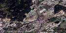
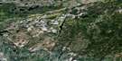
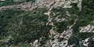
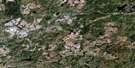
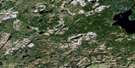
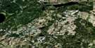
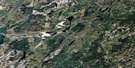
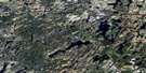
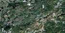
White Otter River Surrounding Area Aerial Photo Maps
 |
 |
 |
 |
 |
 |
 |
 |
 |
 |
 |
 |
 |
 |
 |
 |
© Department of Natural Resources Canada. All rights reserved.
White Otter River Gazetteer
The following places can be found on satellite image map 042F05 White Otter River:
White Otter River Satellite Image: Lakes
Adze LakeAmylou Lake
Anna Lee Lake
Anthony Lake
Appelle Lake
Beavercross Lake
Bevin Lake
Bishop Lake
Bullmoose Lake
Bunny Lake
Burn Lake
Candybar Lake
Chain Lakes
Cow-in-Lake
Davis Lake
Dennie Lake
Dolly Lake
Dot Lake
East Hillsport Lake
Eden Lake
Everest Lake
Faber Lake
Gracie Lake
Halliday Lake
Healy Pond
Hillsport Lake
Hourglass Lake
Ichi Lake
Jim Lake
Katie Lake
Lacasse Lake
Larry Lake
Little Nama Lake
Long Pond Lake
Lutra Lake
MacDonnell Lake
Minnie Lake
Mooseskull Lake
Nifty Lake
Olie Lake
Otter Lake
Patricia Lake
Pearly Lake
Ramsay Lake
Reeves Lake
Robbie Lake
Rockbound Lake
Slingshot Lake
Smoke Lake
Sparky Lake
Thomas Lake
Triangle Lake
White Otter Lake
White Otter River Satellite Image: Rapids
Fitzgerald RapidsSkunk Rapids
White Otter River Satellite Image: Rivers
Beavercross CreekBlack River
Bullmoose Creek
Candybar Creek
Chain Creek
East Hillsport Creek
Everest Creek
Fox Creek
Healy Creek
Hillsport Creek
Lauri Creek
Little Nama Creek
Little White Otter River
Nama Creek
Osawin River
Pond Creek
Reeves Creek
Robbie Creek
Slingshot Creek
Smoke Creek
South Gamsby Creek
South Gowan Creek
Sparky Creek
Stilwell Creek
White Otter River
White Otter River Satellite Image: Unincorporated areas
HillsportWhite Otter
© Department of Natural Resources Canada. All rights reserved.
042F Related Maps:
042F Hornepayne042F01 Oba
042F02 Hornepayne
042F03 Obakamiga Lake
042F04 Manitouwadge
042F05 White Otter River
042F06 Nagagami Lake
042F07 Nagagamisis Lake
042F08 Pope Creek
042F09 Nassau Lake
042F10 Ahmabel Lake
042F11 Osawin River
042F12 Kassagimini Lake
042F13 Flint Lake
042F14 Eureka Lake
042F15 Pitopiko River
042F16 Constance Lake
