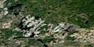
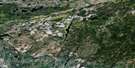
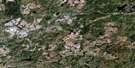
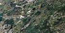
Obakamiga Lake Satellite Image Map
Download Free Aerial Photo 042F03 at 1:50,000 scale
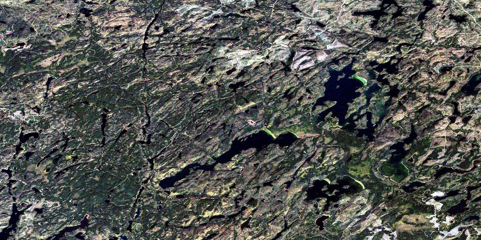
Obakamiga Lake Satellite Imagery
To view this satellite map, mouse over the air photo on the right.
You can also download this satellite image map for free:
042F03 Obakamiga Lake high-resolution satellite image map.
Maps for the Obakamiga Lake aerial map sheet 042F03 at 1:50,000 scale are also available in these versions:
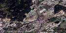
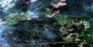
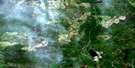
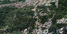
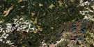
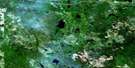
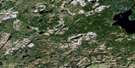
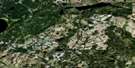
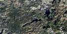
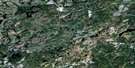
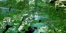
Obakamiga Lake Surrounding Area Aerial Photo Maps
 |
 |
 |
 |
 |
 |
 |
 |
 |
 |
 |
 |
 |
 |
 |
 |
© Department of Natural Resources Canada. All rights reserved.
Obakamiga Lake Gazetteer
The following places can be found on satellite image map 042F03 Obakamiga Lake:
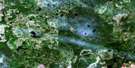
Obakamiga Lake Satellite Image: Bays
Island BayMarten Bay
Split Point Bay
Tower Bay
Obakamiga Lake Satellite Image: Channels
Beavercamp NarrowsRocky Narrows
Three Mile Narrows
Obakamiga Lake Satellite Image: Geographical areas
BayfieldChelsea
Cholette
Drew
Foch
Foote
Herbert
Lessard
Matthews
Roberta
Spooner
Welsh
Obakamiga Lake Satellite Image: Lakes
Baloney LakeBay Lake
Bigrock Lake
Bissonnette Lake
Buffalo Island Lake
Cholette Lake
Foch Lake
Garnham Lake
Granitehill Lake
Gum Lake
Ice Lake
Island Lake
Jembi Lake
Joe Louis Lake
Jonas Lake
Lessard Lake
Linbarr Lake
Little Ice Lake
Longnega Lake
Macutagon Lake
McCoy Lake
Miriam Lake
Mistassini Lake
Monetoues Lake
Nega Lake
North Vison Lake
Obakamiga Lake
Quacker Lake
Shekak Lake
South Vison Lake
Sunderland Lake
Tamarack Lake
Tocheri Lake
Upper Foch Lake
Upper Garnham Lake
Upper Shekak Lake
Vison Lake
Wabatong Lake
White Owl Lake
Obakamiga Lake Satellite Image: Mountains
Tower HillObakamiga Lake Satellite Image: Rivers
Foch RiverGum River
Ice Creek
Jembi Creek
Linbarr Creek
Macutagon Creek
Miriam Creek
Obakamiga River
Shabotik River
Shekak River
Vison Creek
Wabatong Creek
White Owl Creek
Obakamiga Lake Satellite Image: Road features
Canyon PortageForget Portage
Phonebox Portage
© Department of Natural Resources Canada. All rights reserved.
042F Related Maps:
042F Hornepayne042F01 Oba
042F02 Hornepayne
042F03 Obakamiga Lake
042F04 Manitouwadge
042F05 White Otter River
042F06 Nagagami Lake
042F07 Nagagamisis Lake
042F08 Pope Creek
042F09 Nassau Lake
042F10 Ahmabel Lake
042F11 Osawin River
042F12 Kassagimini Lake
042F13 Flint Lake
042F14 Eureka Lake
042F15 Pitopiko River
042F16 Constance Lake
