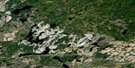
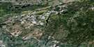
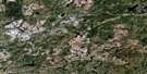
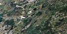
Constance Lake Satellite Image Map
Download Free Aerial Photo 042F16 at 1:50,000 scale
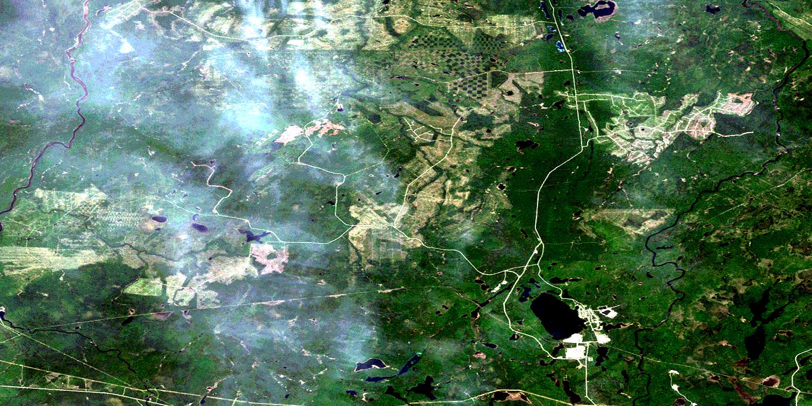
Constance Lake Satellite Imagery
To view this satellite map, mouse over the air photo on the right.
You can also download this satellite image map for free:
042F16 Constance Lake high-resolution satellite image map.
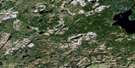
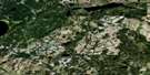
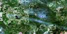
Maps for the Constance Lake aerial map sheet 042F16 at 1:50,000 scale are also available in these versions:
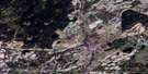
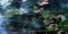
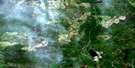
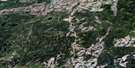
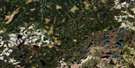
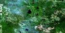
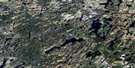
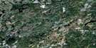
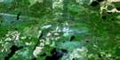
Constance Lake Surrounding Area Aerial Photo Maps
 |
 |
 |
 |
 |
 |
 |
 |
 |
 |
 |
 |
 |
 |
 |
 |
© Department of Natural Resources Canada. All rights reserved.
Constance Lake Gazetteer
The following places can be found on satellite image map 042F16 Constance Lake:
Constance Lake Satellite Image: Geographical areas
AudenFintry
Fushimi
Gill
McMillan
Rogers
Stoddart
Studholme
Constance Lake Satellite Image: Indian Reserves
Constance Lake 92Constance Lake Indian Reserve 92
Réserve indienne Constance Lake 92
Constance Lake Satellite Image: Lakes
Abram LakeAuden Lake
Bittern Lake
Blue Goose Lake
Bluebelle Lake
Bobwhite Lake
Brave Lake
Bryce Lake
Bufflehead Lake
Calstock Lake
Canary Lake
Carey Lake
Constance Lake
Diamond Lake
Duckwing Lake
Eagle Lake
Egret Lake
Flamingo Lake
Gallinule Lake
Grosbeak Lake
Gull Lake
Hawk Lake
Heron Lake
Hugh Lake
Ina Lake
Kennedy Lake
Kingfisher Lake
Lecours Lake
Leonard Lake
Louise Lake
Mallard Lake
Mary Lake
Merganser Lake
North Leonard Lake
Osprey Lake
Pelican Lake
Pheasant Lake
Pike Lake
Pisikaniwi Lake
Ptarmigan Lake
Redpoll Lake
Rogers Lake
Samuel Lake
Sparrow Lake
St. Joseph Lake
Stanley Lake
Studholme Lake
Swallow Lake
Swan Lake
Swift Lake
Thibodeau Lake
Turkey Lake
Violin Lake
West Lake
Widgeon Lake
Wilmot Lake
Constance Lake Satellite Image: Rapids
Limestone RapidsThree Portages Rapids
Constance Lake Satellite Image: Rivers
Ameson CreekAuden Creek
Bertram Creek
Brave Creek
Calstock Creek
Carey Creek
Diamond Creek
Duckwing Creek
Hugh Creek
Kabinakagami River
Little Pisikaniwi River
Nagagami River
Pike Creek
Pisikaniwi River
Rogers Creek
Samuel Creek
Shekak River
Skunk River
Studholme Creek
Wilmot Creek
Constance Lake Satellite Image: Unincorporated areas
BertramCalstock
Carey Lake
Hafstrom
© Department of Natural Resources Canada. All rights reserved.
042F Related Maps:
042F Hornepayne042F01 Oba
042F02 Hornepayne
042F03 Obakamiga Lake
042F04 Manitouwadge
042F05 White Otter River
042F06 Nagagami Lake
042F07 Nagagamisis Lake
042F08 Pope Creek
042F09 Nassau Lake
042F10 Ahmabel Lake
042F11 Osawin River
042F12 Kassagimini Lake
042F13 Flint Lake
042F14 Eureka Lake
042F15 Pitopiko River
042F16 Constance Lake
