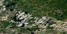
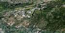
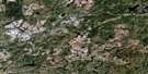
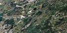
Oba Satellite Image Map
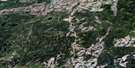
Download Free Aerial Photo 042F01 at 1:50,000 scale
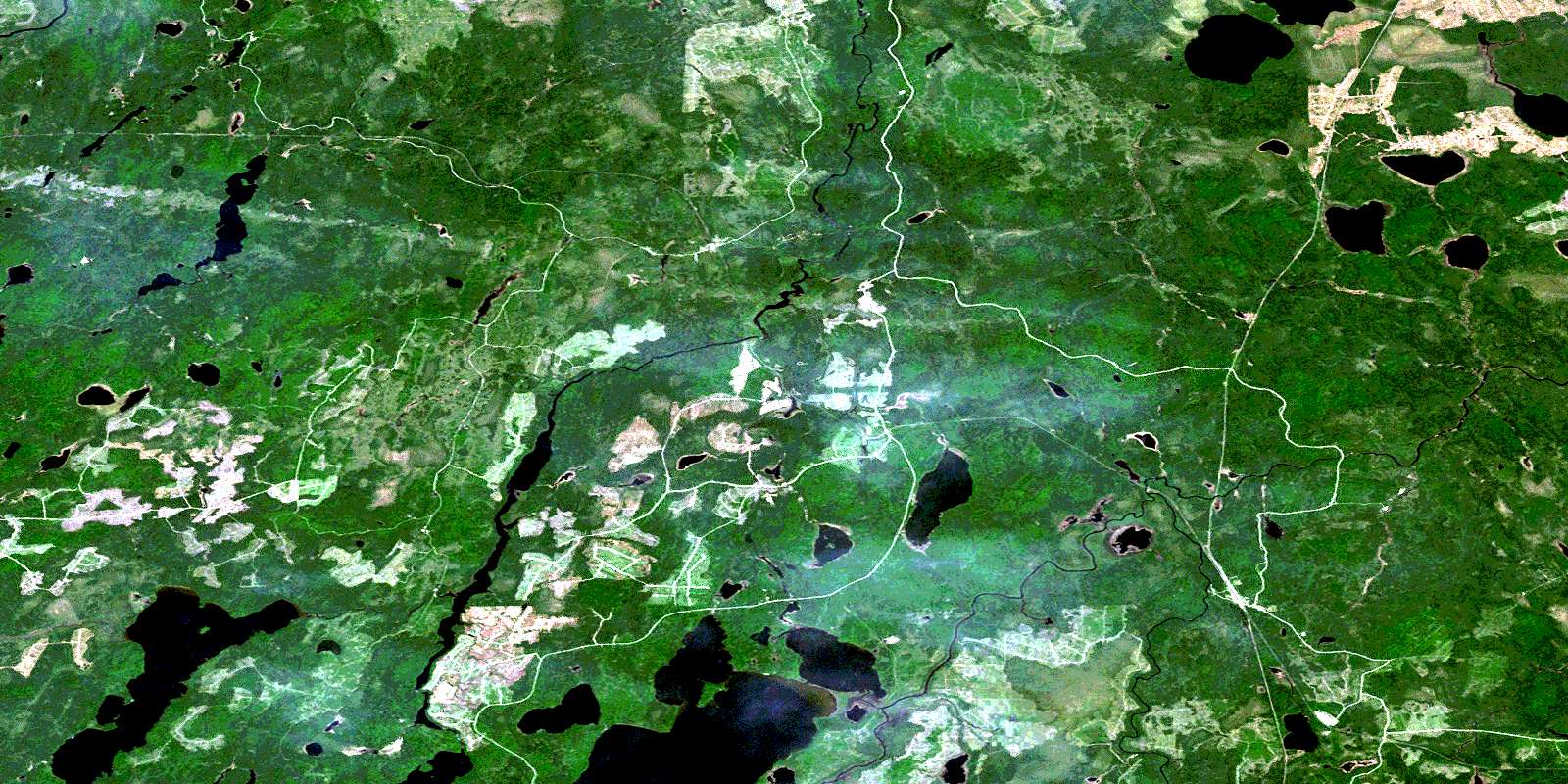
Oba Satellite Imagery
To view this satellite map, mouse over the air photo on the right.
You can also download this satellite image map for free:
042F01 Oba high-resolution satellite image map.
Maps for the Oba aerial map sheet 042F01 at 1:50,000 scale are also available in these versions:
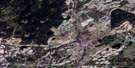
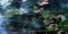
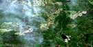
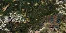
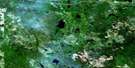
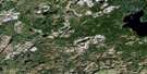
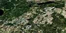
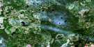
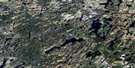
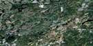
Oba Surrounding Area Aerial Photo Maps
 |
 |
 |
 |
 |
 |
 |
 |
 |
 |
 |
 |
 |
 |
 |
 |
© Department of Natural Resources Canada. All rights reserved.
Oba Gazetteer
The following places can be found on satellite image map 042F01 Oba:
Oba Satellite Image: Bays
Derry BaySchist Bay
Oba Satellite Image: Beaches
Essery's BeachMile Beach
Oba Satellite Image: Capes
Big PointOba Satellite Image: Channels
The NarrowsOba Satellite Image: Geographical areas
AldersonDerry
Farquhar
Franz
Haig
Hawkins
Lascelles
Lipton
Roche
Talbott
Walls
Woolrich
Oba Satellite Image: Lakes
Cameron LakeDerry Lake
Edison Lake
Henrietta Lake
Kabinakagami Lake
Kabinakagamisis Lake
Kalsas Lake
Kamp Lake
Lascelles Lake
Little Cameron Lake
Little Norris Lake
Little Watt Lake
Macduff Lake
Mawgi Lake
Minnow Lake
Mountain Lake
Norris Lake
North Roche Lake
Patrick Lake
Penhurst Lake
Rat Lake
Sawbill Lake
South Mawgi Lake
Twin Lakes
Watt Lake
Woolrich Lake
Oba Satellite Image: Rapids
Big River RapidsHorseback Rapids
The Chutes
Oba Satellite Image: Rivers
Brown's CreekCameron Creek
Edison Creek
Kabinakagami River
Kabinakagamisis River
Kamp Creek
Lascelles Creek
Macduff Creek
Mattawishkwia River
Mattawitchewan River
Mileage 252 Creek
Norris Creek
Oba River
Penhurst Creek
Shekak River
Swanson Creek
Watt Creek
Wigwam River
Woolrich Creek
Oba Satellite Image: River features
Albany ForksCameron Forks
The Expansion
The Shallows
Oba Satellite Image: Road features
Big River PortageRat Portage
Oba Satellite Image: Unincorporated areas
Albany ForksKennedy
Macduff
Norris
Oba
Penhurst
© Department of Natural Resources Canada. All rights reserved.
042F Related Maps:
042F Hornepayne042F01 Oba
042F02 Hornepayne
042F03 Obakamiga Lake
042F04 Manitouwadge
042F05 White Otter River
042F06 Nagagami Lake
042F07 Nagagamisis Lake
042F08 Pope Creek
042F09 Nassau Lake
042F10 Ahmabel Lake
042F11 Osawin River
042F12 Kassagimini Lake
042F13 Flint Lake
042F14 Eureka Lake
042F15 Pitopiko River
042F16 Constance Lake
