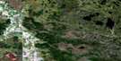
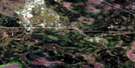
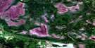
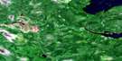
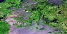
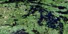
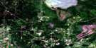
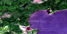
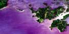
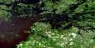
Morson Satellite Image Map
Download Free Aerial Photo 052E01 at 1:50,000 scale
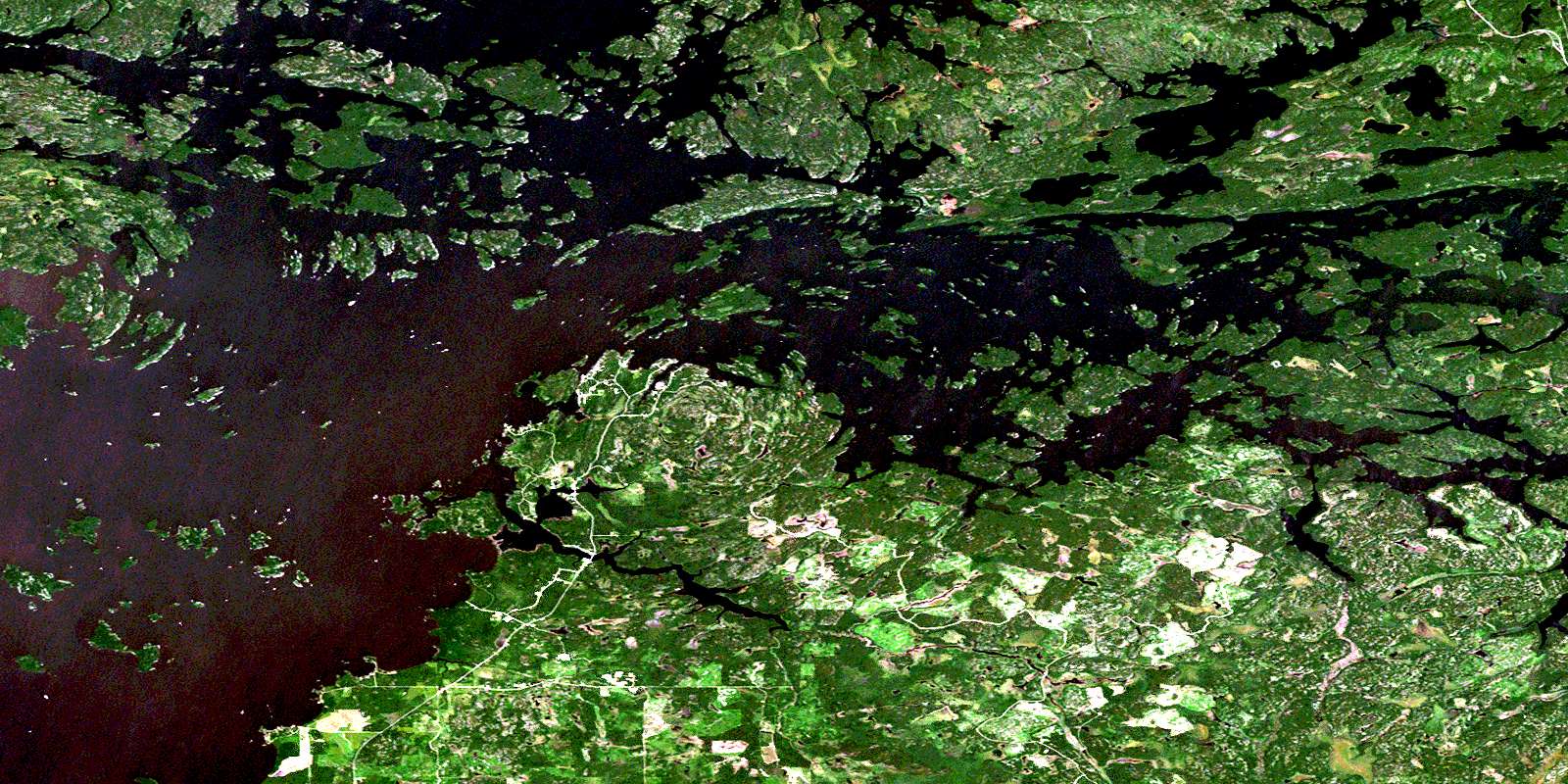
Morson Satellite Imagery
To view this satellite map, mouse over the air photo on the right.
You can also download this satellite image map for free:
052E01 Morson high-resolution satellite image map.
Maps for the Morson aerial map sheet 052E01 at 1:50,000 scale are also available in these versions:
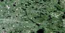
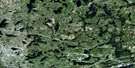
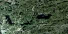
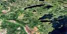
Morson Surrounding Area Aerial Photo Maps
 |
 |
 |
 |
 |
 |
 |
 |
 |
 |
 |
 |
 |
 |
 |
 |
© Department of Natural Resources Canada. All rights reserved.
Morson Gazetteer
The following places can be found on satellite image map 052E01 Morson:
Morson Satellite Image: Bays
Alfred InletAtikaminike Bay
Big Camp Bay
Burrow Bay
Deer Bay
Devils Bay
Gohere Bay
Hanson Bay
Hay Bay
Jackpine Bay
Matheson Bay
Miles Bay
Morton Bay
Obabikon Bay
Purdy Bay
Sabaskong Bay
Sand Bay
Splitrock Bay
Stevens Bay
Stony Portage Bay
Swens Bay
Taylor Bay
Whitefish Bay
Morson Satellite Image: Capes
Aulneau PeninsulaLast Point
Mamiou Point
Point Brûlé
Pork Point
Rabbit Point
Sabaskong Peninsula
Splitrock Point
Stairway Point
Morson Satellite Image: Channels
Big Marsh NarrowsFish Narrows
Painted Rock Channel
Splitrock Narrows
Sunset Chain Channel
Turtle Portage Channel
Morson Satellite Image: Geographical areas
CroomeDewart
Mathieu
McCrosson
Morson
Phillips
Rainy River
Rowe
Tovell
Morson Satellite Image: Indian Reserves
Big Grassy River 35GBig Grassy River Indian Reserve 35G
Big Island Mainland 93
Big Island Mainland Indian Reserve 93
Lake of the Woods 35J
Lake of the Woods Indian Reserve 35J
Naongashing Indian Reserve 31A
Naongashing Indian Reserve 35A
Obabikong Indian Reserve 35B
Réserve indienne Big Grassy River 35G
Réserve indienne Big Island Mainland 93
Réserve indienne Lake of the Woods 35J
Réserve indienne Naongashing 31A
Réserve indienne Naongashing 35A
Réserve indienne Obabikong 35B
Réserve indienne Sabaskong Bay 32C
Réserve indienne Sabaskong Bay 35C
Réserve indienne Sabaskong Bay 35F
Réserve indienne Sabaskong Bay 35H
Réserve indienne Saug-A-Gaw-Sing 1
Sabaskong Bay 32C
Sabaskong Bay 35C
Sabaskong Bay 35F
Sabaskong Bay 35H
Sabaskong Bay Indian Reserve 32C
Sabaskong Bay Indian Reserve 35C
Sabaskong Bay Indian Reserve 35F
Sabaskong Bay Indian Reserve 35H
Saug-A-Gaw-Sing 1
Saug-A-Gaw-Sing Indian Reserve 1
Morson Satellite Image: Islands
Basil IslandBig Black Island
Big Marsh Island
Black Island
Blueberry Island
Bluffy Island
Boomstick Island
Brûlé Island
Buckeye Island
Buff Island
Burnt Island
Cedar Island
Comegan Island
Dawson Island
Farnsworth Island
Fishery Island
Fox Island
Garden Island
Gooseneck Island
Greens Island
Harbour Island
Hay Island
Horseshoe Island
King Island
Knoche Island
Little Blueberry Island
Little Raspberry Island
Lowes Island
Maggie Island
Manitou Island
Miles (Sanguishomiouming) Island
Mineral Island
Mitchell Island
Painted Rock Island
Pentney Island
Poplar Island
Rabbit Island
Raspberry Island
Round Island
Rowell Island
Sanguishii-aagaamiing
Sanguishii-aagaamiising
Splitrock Island
Squaw Island
Tar Vat Island
Three Pine Island
Village Island
Waldron Island
Wisakode Island
Wolf Island
Morson Satellite Image: Lakes
Eleanor LakeGirard Lake
Kahmitiwajewunk Lake
Kawakamik Lake
Lac des Bois
Lake of the Woods
Obabikon Lake
Robinson Lake
South Narrow Lake
Turtle Lake
Morson Satellite Image: Other municipal/district area - miscellaneous
Lake of the WoodsMcCrosson and Tovell
McGeorge & Willingdon
Morley
Morson
Sioux Narrows
Sioux Narrows Nestor Falls
Sioux Narrows-Nestor Falls
Morson Satellite Image: Conservation areas
Lake of the Woods Provincial ParkMiles Bay Conservation Reserve
Morson Satellite Image: Rivers
Big Grassy RiverGrassy River
Splitrock River
Spruce Creek
Morson Satellite Image: Road features
Elm PortageSand Portage
Turtle Portage
Morson Satellite Image: Shoals
Mather ReefMorson Satellite Image: Unincorporated areas
MinahicoMorson
© Department of Natural Resources Canada. All rights reserved.
052E Related Maps:
052E Kenora052E01 Morson
052E02 Big Island
052E03 Buffalo Bay
052E04 Sprague
052E05 Whitemouth River
052E06 Berry Point
052E07 Falcon Island
052E08 Sioux Narrows
052E09 Longbow Lake
052E10 Clearwater Bay
052E11 Falcon Lake
052E12 Mcmunn
052E13 Whitemouth
052E14 Caddy Lake
052E15 Keewatin
052E16 Kenora
