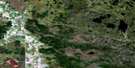
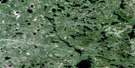
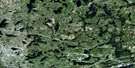
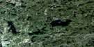
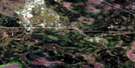
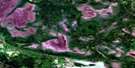
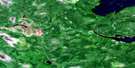
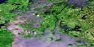
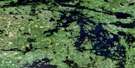
Keewatin Satellite Image Map
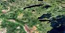
Download Free Aerial Photo 052E15 at 1:50,000 scale
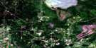
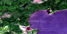
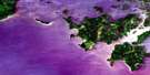
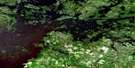
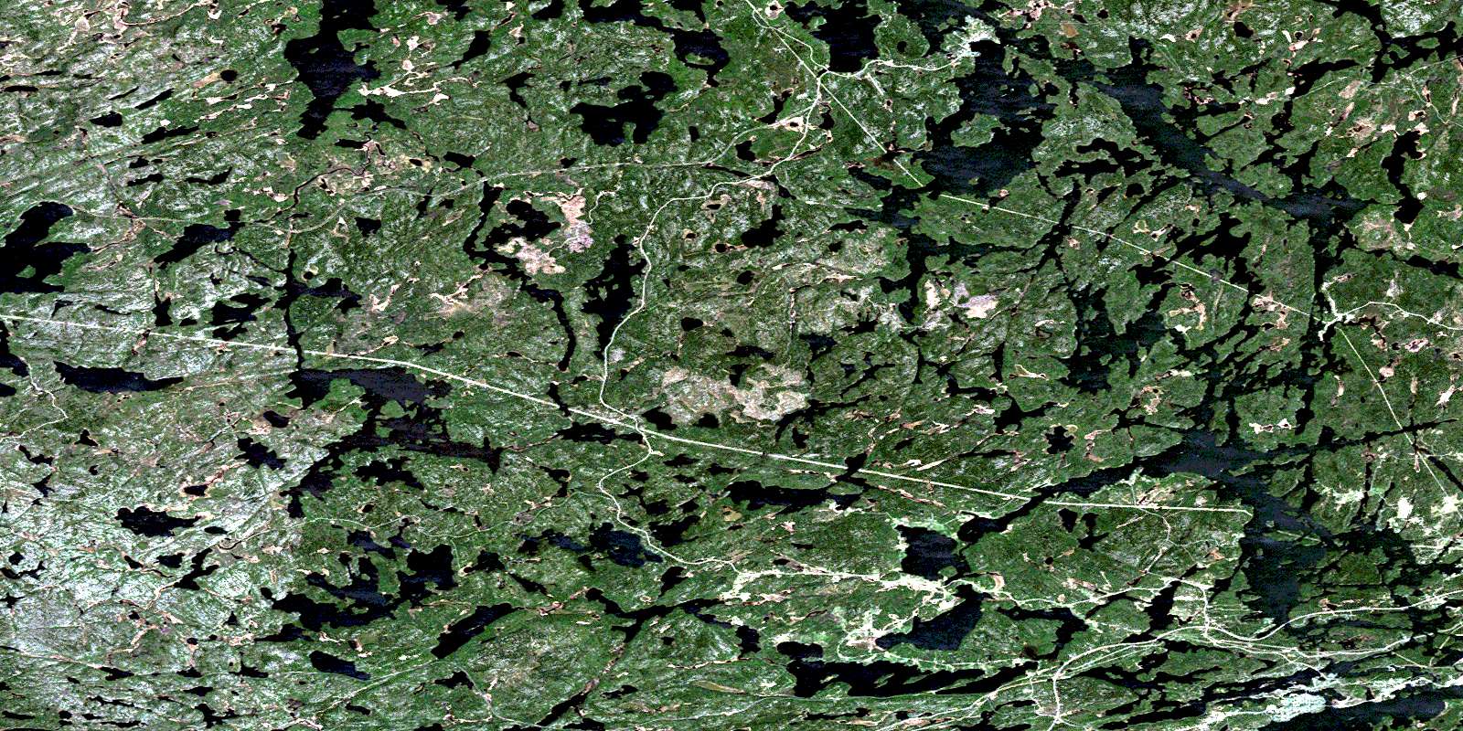
Keewatin Satellite Imagery
To view this satellite map, mouse over the air photo on the right.
You can also download this satellite image map for free:
052E15 Keewatin high-resolution satellite image map.
Maps for the Keewatin aerial map sheet 052E15 at 1:50,000 scale are also available in these versions:
Keewatin Surrounding Area Aerial Photo Maps
 |
 |
 |
 |
 |
 |
 |
 |
 |
 |
 |
 |
 |
 |
 |
 |
© Department of Natural Resources Canada. All rights reserved.
Keewatin Gazetteer
The following places can be found on satellite image map 052E15 Keewatin:
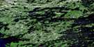
Keewatin Satellite Image: Bays
Allman's BayCameron Bay
Darlington Bay
David Bay
Duck Bay
Flett Bay
Gavigan Bay
Holst Bay
Jackfish Bay
Kabastra Bay
Keewatin Bay
Little Tunnel Bay
Locke Bay
Lost Bay
Lost Bay
Mink Bay
Norman Bay
Portage Bay
Rat Portage Bay
Rice Bay
Rice Bay
Rideout Bay
Runions Bay
Safety Bay
Tunnel Bay
Keewatin Satellite Image: Beaches
Coney Island BeachKeewatin Beach
Keewatin Satellite Image: Capes
Bathgate's PointCache Point
Chadwick Point
Holst Point
Hospital Point
Logans Point
Mulock's Point
Pincushion Point
Silver Point
The Peninsula
Keewatin Satellite Image: Channels
Cobalts NarrowsDufresne Rapids Narrows
Kimberley Rapids Narrows
Myrtle Rapids Narrows
Norman Channel
Palmerston's Channel
Second Rapids Narrows
Sweeney Channel
The Dalles
The Little Dalles
The Narrows
Keewatin Satellite Image: City
KenoraKeewatin Satellite Image: Geographical areas
BoysBroderick
Gidley
Malachi
Pelican
Pellatt
Rudd
Umbach
Keewatin Satellite Image: Hydraulic construction
Norman DamKeewatin Satellite Image: Indian Reserves
Réserve indienne The Dalles 38CThe Dalles 38C
The Dalles Indian Reserve 38C
Keewatin Satellite Image: Islands
Abbott's IslandAble Island
Bearfoot Island
Big Island
Birch Island
Boudreau Island
Boyd Island
Brown's Island
Cameron Island
Camp Island
Coney Island
Dog Island
Dufresne Island
Dynamite Island
East Brown's Island
Fiddler's Island
Foley Island
Fredericks Island
Graham Island
Hilliard's Island
Honeymoon Island
Indian Island
Jay Island
Johnsons Island
Keewatin Island
Kelly's Island
Kowbel's Island
Kris Island
Laurenson's Island
Little Jewel Island
Lowes Island
Morgans Island
Myrtle Island
Old Fort Island
Orde Islands
Padburge's Island
Porcupine Island
Potato Island
Punter's Island
Quarry Island
Runions Island
Schioler Island
Scott Island
Sellers Island
Sieler's Island
Squaw Island
Tataren Island
The Powderpuff
Tower Island
Treasure Island
Treaty Island
Tunnel Island
Virgin Island
Waller's Island
Wet Island
Keewatin Satellite Image: Lakes
Adamson LakeAlcock Lake
Alice Lake
Allin Lake
Annie Lake
Assin Lake
Bear Lake
Beaver Lake
Beer Lake
Belle Lake
Bludgeon Lake
Boyne Lake
Burdette Lake
Burwash Lake
Cameron Lake
Camp Four Lake
Castellar Lake
Cat Lake
Catastrophe Lake
Catherine Lake
Circle Lake
Cooch Lake
Cornell Lake
Corrigan Lake
Culloden Lake
Cygnet Lake
Dagimabrop Lake
Deception Lake
Duck Lake
Ena Lake
Esther Lake
Flapjack Lake
Fox Lake
Garia Lake
Gauntlet Lake
Gavigan Lake
George Lake
Greenwater Lake
Gun Lake
Ham Lake
Heart Lake
Helen Lake
Hunting Lake
Inn Lake
Island Lake
Jack Lake
James Lake
Joe Lake
Kalmar Lake
Kanatan Lake
King Lake
Knudsen Lake
Lac des Bois
Lake Catherine
Lake Charles
Lake Lulu
Lake of the Woods
Lily Lake
Little Boulder Lake
Little Kalmar Lake
Little Man Lake
Little Pickerel Lake
Little Sand Lake
Long Lake
Lost Lake
Louise Lake
Lulu Lake
Mack Lake
Malachi Lake
Man Lake
Marion Lake
Marshy Lake
Meekin Lake
Middle Lake
Monument Lake
Mosie Lake
Muriel Lake
Musca Lake
Muskrat Lake
Myrtle Lake
Nahany Lake
Nathalie Lake
Nelson Lake
North Otter Lake
Odjick Lake
Oldcamp Lake
Otter Lake
Paddy Lake
Pelicanpouch Lake
Pickerel Lake
Pistol Lake
Poplar Portage
Potato Lake
Precipice Lake
Puppy Lake
Raspberry Lake
Richard Lake
Ripple Lake
Rosina Lake
Roy Lake
Ruby Lake
Sand Lake
Sandy Lake
Seabury Lake
Selkirk Lake
Sheppard Lake
Sherwood Lake
Skiff Lake
Snail Lake
Sword Lake
Tremain Lake
Trout Lake
Twin Lake
Urquhart Lake
Wampum Lake
War Eagle Lake
Waseca Lake
Worth Lake
Keewatin Satellite Image: Marine navigation features
Camp Five LandingKeewatin Satellite Image: Mountains
Orange HillKeewatin Satellite Image: Rapids
Black Sturgeon RapidsSniezek Rapids
Throat Rapids
Keewatin Satellite Image: Rivers
Alice CreekBlack Sturgeon River
Castellar Creek
Catastrophe Creek
Circle Creek
Culloden Creek
Cygnet River
Deception Creek
Flapjack Creek
Fox Creek
Laclu Creek
Laclu River
MacFarlane River
Malachi Creek
Monument Creek
Mosie Creek
Paddy Creek
Pistol Creek
Pistol Creek
Rivière Winnipeg
Sheppard Creek
Sherwood Creek
Sword Creek
War Eagle Creek
Winnipeg River
Zodiac Creek
Keewatin Satellite Image: River features
The Big StretchKeewatin Satellite Image: Shoals
Menzies ReefMuncer's Reef
Keewatin Satellite Image: Towns
Jaffray and MelickJaffray Melick
Keewatin Satellite Image: Unincorporated areas
BusteedEna Lake
Keewatin
Laclu
Laclu
Lowther
Malachi
Minaki
Norman
Ostersund
Ottermere
Pellatt
Sherwood Lake
Tebo
Wade
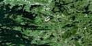
Keewatin Satellite Image: Low vegetation
Cranberry SwampThompsons Slough
© Department of Natural Resources Canada. All rights reserved.
052E Related Maps:
052E Kenora052E01 Morson
052E02 Big Island
052E03 Buffalo Bay
052E04 Sprague
052E05 Whitemouth River
052E06 Berry Point
052E07 Falcon Island
052E08 Sioux Narrows
052E09 Longbow Lake
052E10 Clearwater Bay
052E11 Falcon Lake
052E12 Mcmunn
052E13 Whitemouth
052E14 Caddy Lake
052E15 Keewatin
052E16 Kenora
