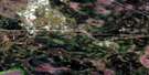
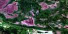
Buffalo Bay Satellite Image Map
Download Free Aerial Photo 052E03 at 1:50,000 scale
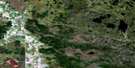
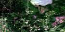
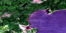
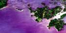
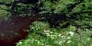
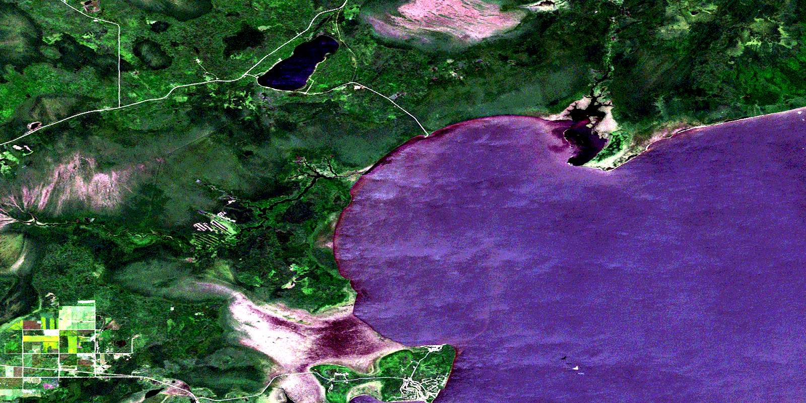
Buffalo Bay Satellite Imagery
To view this satellite map, mouse over the air photo on the right.
You can also download this satellite image map for free:
052E03 Buffalo Bay high-resolution satellite image map.
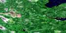
Maps for the Buffalo Bay aerial map sheet 052E03 at 1:50,000 scale are also available in these versions:
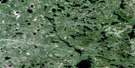
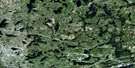
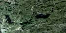
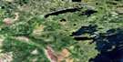
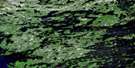
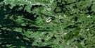
Buffalo Bay Surrounding Area Aerial Photo Maps
 |
 |
 |
 |
 |
 |
 |
 |
 |
 |
 |
 |
 |
 |
 |
 |
© Department of Natural Resources Canada. All rights reserved.
Buffalo Bay Gazetteer
The following places can be found on satellite image map 052E03 Buffalo Bay:
Buffalo Bay Satellite Image: Bays
Big Traverse BayBuffalo Bay
Muskeg Bay
Buffalo Bay Satellite Image: Capes
Birch PointBuffalo Point
Goulds Point
Poplar Point
Buffalo Bay Satellite Image: Hydraulic construction
Moose Lake DamBuffalo Bay Satellite Image: Indian Reserves
Buffalo Point 36Buffalo Point First Nation 1
Buffalo Point First Nation 2
Buffalo Point First Nation 3
Reed River 36A
Buffalo Bay Satellite Image: Islands
Tamarack IslandBuffalo Bay Satellite Image: Lakes
Bobs LakeLac des Bois
Lake of the Woods
Middlebro Pond
Moose Lake
Mud Lake
Twin Lakes
Buffalo Bay Satellite Image: Conservation areas
Birch Point Provincial ParkBirch Point Provincial Recreation Park
Moose Lake Provincial Park
Moose Lake Provincial Recreation Park
Northwest Angle Provincial Forest
Buffalo Bay Satellite Image: Provinces
ManitobaBuffalo Bay Satellite Image: Rivers
Reed RiverRowboat Creek
Stony Creek
Buffalo Bay Satellite Image: Road features
MOMs WayRoute MOM
Buffalo Bay Satellite Image: Unincorporated areas
Buffalo PointMiddleboro
Middlebro
Moose Lake
Buffalo Bay Satellite Image: Low vegetation
Moose Lake Road BogSprague Bog
© Department of Natural Resources Canada. All rights reserved.
052E Related Maps:
052E Kenora052E01 Morson
052E02 Big Island
052E03 Buffalo Bay
052E04 Sprague
052E05 Whitemouth River
052E06 Berry Point
052E07 Falcon Island
052E08 Sioux Narrows
052E09 Longbow Lake
052E10 Clearwater Bay
052E11 Falcon Lake
052E12 Mcmunn
052E13 Whitemouth
052E14 Caddy Lake
052E15 Keewatin
052E16 Kenora
