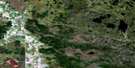
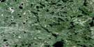
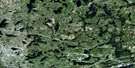
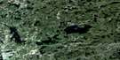
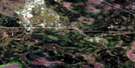
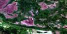
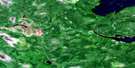
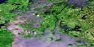
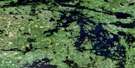
Whitemouth Satellite Image Map
Download Free Aerial Photo 052E13 at 1:50,000 scale
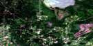
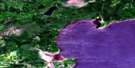
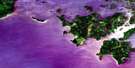
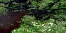
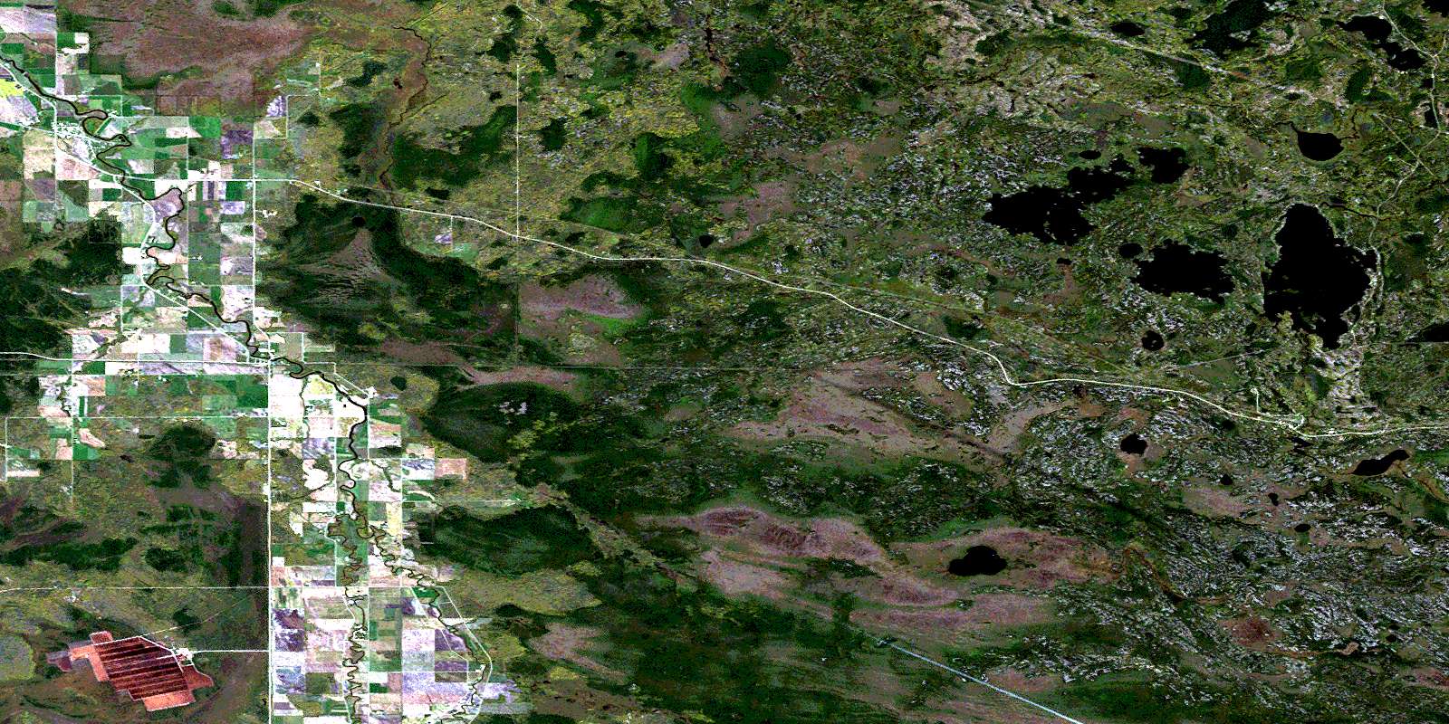
Whitemouth Satellite Imagery
To view this satellite map, mouse over the air photo on the right.
You can also download this satellite image map for free:
052E13 Whitemouth high-resolution satellite image map.
Maps for the Whitemouth aerial map sheet 052E13 at 1:50,000 scale are also available in these versions:
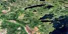
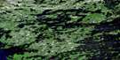
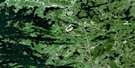
Whitemouth Surrounding Area Aerial Photo Maps
 |
 |
 |
 |
 |
 |
 |
 |
 |
 |
 |
 |
 |
 |
 |
 |
© Department of Natural Resources Canada. All rights reserved.
Whitemouth Gazetteer
The following places can be found on satellite image map 052E13 Whitemouth:
Whitemouth Satellite Image: Bays
Mallard BayWhitemouth Satellite Image: Capes
Apache PointWhitemouth Satellite Image: Falls
Cook FallsInverness Falls
Leeyus Falls
Nakka Falls
Nevas Falls
Ostlund Falls
Prette Falls
Whitemouth Satellite Image: Hydraulic construction
Brereton Lake DamWhitemouth Satellite Image: Islands
Big IslandEllis Island
Webb Island
Whitemouth Satellite Image: Lakes
Brereton LakeCabin Lake
Goose Pond
Jean Lake
Jessica Lake
Last Lake
Little Mud Lake
Marchand Lake
Moss Lake
Mud Turtle Lake
Ottos Lake
Pennycook Lake
Pit Lake
Red Rock Lake
Redrock Lake
Rice Lake
Seifert Lake
Skull Lake
Skull Pond
Vandal Lake
War Eagle Lake
Zimmerman Lake
Whitemouth Satellite Image: Other municipal/district area - miscellaneous
ReynoldsWhitemouth
Whitemouth Satellite Image: Conservation areas
Agassiz Provincial ForestAlfred Hole Goose Sanctuary
Sandilands Provincial Forest
Whiteshell Game Bird Refuge
Whiteshell Provincial Forest
Whiteshell Provincial Park
Whitemouth Satellite Image: Rapids
Elma RapidsWhitemouth Satellite Image: Rivers
Birch RiverBog River
Brickyard Creek
Forostiak Creek
Kellner Creek
Lenchuk Creek
Monk Creek
Moss Creek
Rennie River
Whitemouth River
Whitemouth Satellite Image: Road features
La Vérendrye TrailWhitemouth Satellite Image: Unincorporated areas
Brereton LakeBrereton Lake
Culver
Darwin
Elma
Hoctor
Indigo
Janow
Juno
Red Rock Lake
Rennie
Scotts Hill
South Beach
Stony Hill
Whitemouth
Whitemouth Satellite Image: Low vegetation
Hoctor SwampWhitemouth Bog
© Department of Natural Resources Canada. All rights reserved.
052E Related Maps:
052E Kenora052E01 Morson
052E02 Big Island
052E03 Buffalo Bay
052E04 Sprague
052E05 Whitemouth River
052E06 Berry Point
052E07 Falcon Island
052E08 Sioux Narrows
052E09 Longbow Lake
052E10 Clearwater Bay
052E11 Falcon Lake
052E12 Mcmunn
052E13 Whitemouth
052E14 Caddy Lake
052E15 Keewatin
052E16 Kenora
