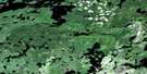
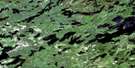
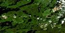
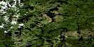
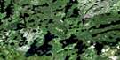
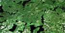
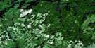
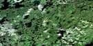
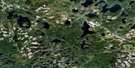
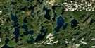
Firesteel River Satellite Image Map
Download Free Aerial Photo 052G02 at 1:50,000 scale
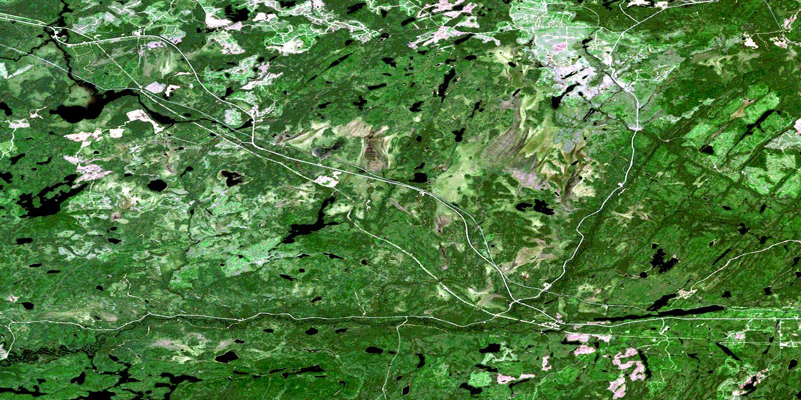
Firesteel River Satellite Imagery
To view this satellite map, mouse over the air photo on the right.
You can also download this satellite image map for free:
052G02 Firesteel River high-resolution satellite image map.
Maps for the Firesteel River aerial map sheet 052G02 at 1:50,000 scale are also available in these versions:
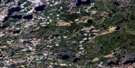
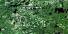
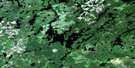
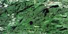
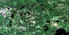
Firesteel River Surrounding Area Aerial Photo Maps
 |
 |
 |
 |
 |
 |
 |
 |
 |
 |
 |
 |
 |
 |
 |
 |
© Department of Natural Resources Canada. All rights reserved.
Firesteel River Gazetteer
The following places can be found on satellite image map 052G02 Firesteel River:
Firesteel River Satellite Image: Geographical areas
ColliverCorman
Hanniwell
Inwood
Meinzinger
Patrick
Pyramid
Rainy River
Stedman
Trewartha
Upsala
Firesteel River Satellite Image: Indian Reserves
Réserve indienne Seine River 22A2Seine River 22A2
Seine River Indian Reserve 22A2
Firesteel River Satellite Image: Lakes
Antler LakeBarth Lake
Graham Lake
Hawk Lake
Hay Lake
Jewel Lake
Knuckle Lake
Little Chill Lake
Little Trewartha Lake
Longross Lake
Lower Squirrel Lake
Mere Lake
Mosher Lake
Pyramid Lake
Rabbitswim Lake
Sheba Lake
Stedman Lake
Stretch Lake
Tea Lake
Tomlinson Lake
Trewartha Lake
Umber Lake
Upper Squirrel Lake
Firesteel River Satellite Image: Conservation areas
Trewartha Creek Conservation ReserveFiresteel River Satellite Image: Rivers
Antler CreekAntler Creek
Beaver River
Brush Creek
Chill Creek
East Firesteel River
English River
Firesteel River
Hay River
Inwood Creek
Little Trewartha Creek
North Firesteel River
Redfox Creek
Rosscairn Creek
Rush Creek
Scotch River
Seine River
Sheba Creek
Squirrel Creek
Stedman Creek
Tea Creek
Trewartha Creek
Firesteel River Satellite Image: Road features
Brush PortageSnake Portage
Squirrel Portage
Firesteel River Satellite Image: Unincorporated areas
English RiverEnglish River
Graham
Niblock
© Department of Natural Resources Canada. All rights reserved.
052G Related Maps:
052G Ignace052G01 Upsala
052G02 Firesteel River
052G03 Gulliver Lake
052G04 White Otter Lake
052G05 Ignace
052G06 Bonheur
052G07 Petry River
052G08 Pakashkan Lake
052G09 Empire Lake
052G10 Shikag Lake
052G11 Mattabi
052G12 Mameigwess Lake
052G13 Yonde
052G14 Valora
052G15 Glitter Lake
052G16 Harmon Lake
