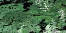
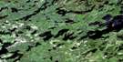
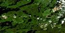
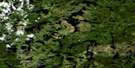
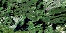
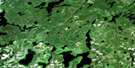
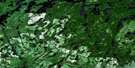
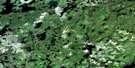
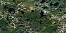
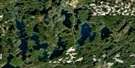
Yonde Satellite Image Map
Download Free Aerial Photo 052G13 at 1:50,000 scale
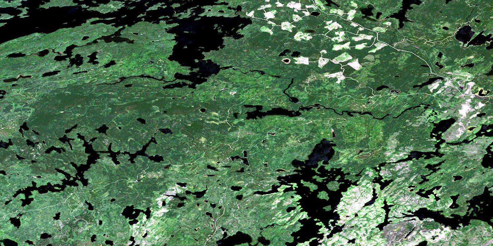
Yonde Satellite Imagery
To view this satellite map, mouse over the air photo on the right.
You can also download this satellite image map for free:
052G13 Yonde high-resolution satellite image map.
Maps for the Yonde aerial map sheet 052G13 at 1:50,000 scale are also available in these versions:
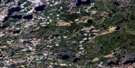
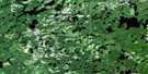
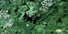
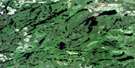
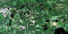
Yonde Surrounding Area Aerial Photo Maps
 |
 |
 |
 |
 |
 |
 |
 |
 |
 |
 |
 |
 |
 |
 |
 |
© Department of Natural Resources Canada. All rights reserved.
Yonde Gazetteer
The following places can be found on satellite image map 052G13 Yonde:
Yonde Satellite Image: Bays
Grassy BayLyons Bay
Southeast Bay
Troutfish Bay
Twin Bay
Yonde Satellite Image: Capes
Notlish PointYonde Satellite Image: Falls
English River FallsYonde Satellite Image: Geographical areas
BenedicksonYonde Satellite Image: Islands
Big IslandBurnt Island
Burnthut Island
Ghost Island
Kendall Island
Neepawa Island
Nicks Island
Ruby Island
Strawberry Island
Twin Pine Island
Yonde Satellite Image: Lakes
Amik LakeAnizev Lake
Ans Lake
Basket Lake
Batchelor Lake
Bawden Lake
Boling Lake
Boot Lake
Buntain Lake
Cornerstone Lake
Discovery Lake
Favot Lake
Flower Lake
Flying Loon Lake
Fox Lake
Giacomo Lake
Grade Lake
Hughes Lake
Jarvis Lake
Kite Lake
Kukukus Lake
Kus Lake
Lard Lake
Little Goose Lake
Little Lake
Little Pepperbell Lake
Loggers Lake
Master Lake
Milky Lake
Minnitaki Lake
Mit Lake
O'Grady Lake
Parnes Lake
Pen Lake
Pepperbell Lake
Press Lake
Purity Lake
Ralciv Lake
Razor Lake
Rum Lake
Rush Lake
Sausage Lake
Smock Lake
Snag Lake
Squeak Lake
Stool Lake
Toburn Lake
Twill Lake
Twinflower Lake
Venus Lake
Ville Lake
Watson Lake
Way Lake
Webfoot Lake
Worm Lake
Yonde Lake
Yonde Satellite Image: Conservation areas
Minnitaki Kames Provincial Nature ReserveYonde Satellite Image: Rivers
Amik RiverBasket River
English River
Favot Creek
Lard Creek
Martin Creek
Master Creek
Minnikau Creek
Pen Creek
Pepperbell Creek
Tata River
Tatasiti River
Twinflower Creek
Yonde Satellite Image: Unincorporated areas
YondeZarn
© Department of Natural Resources Canada. All rights reserved.
052G Related Maps:
052G Ignace052G01 Upsala
052G02 Firesteel River
052G03 Gulliver Lake
052G04 White Otter Lake
052G05 Ignace
052G06 Bonheur
052G07 Petry River
052G08 Pakashkan Lake
052G09 Empire Lake
052G10 Shikag Lake
052G11 Mattabi
052G12 Mameigwess Lake
052G13 Yonde
052G14 Valora
052G15 Glitter Lake
052G16 Harmon Lake
