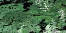
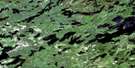
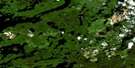
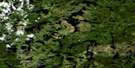
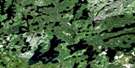
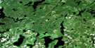
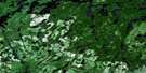
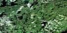
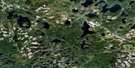
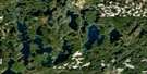
Valora Satellite Image Map
Download Free Aerial Photo 052G14 at 1:50,000 scale
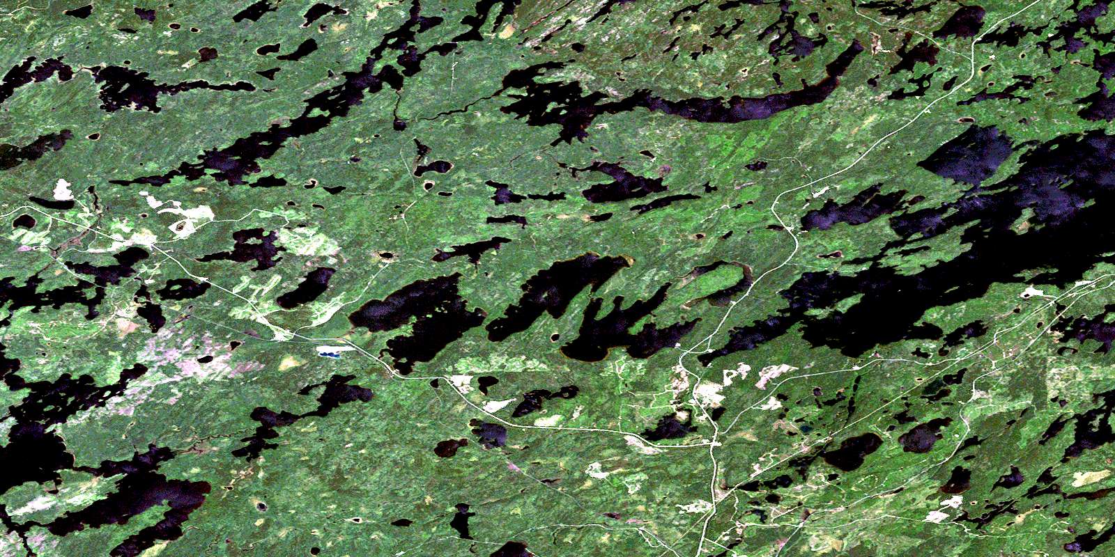
Valora Satellite Imagery
To view this satellite map, mouse over the air photo on the right.
You can also download this satellite image map for free:
052G14 Valora high-resolution satellite image map.
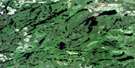
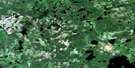
Maps for the Valora aerial map sheet 052G14 at 1:50,000 scale are also available in these versions:
Valora Surrounding Area Aerial Photo Maps
 |
 |
 |
 |
 |
 |
 |
 |
 |
 |
 |
 |
 |
 |
 |
 |
© Department of Natural Resources Canada. All rights reserved.
Valora Gazetteer
The following places can be found on satellite image map 052G14 Valora:
Valora Satellite Image: Bays
Anderson's BayBeidelman Bay
Cobb Bay
Granite Bay
Mountain Island Bay
Peterson Cove
Sac Bay
Valora Satellite Image: Channels
Big NarrowsValora Satellite Image: Geographical areas
BarrettFactor
Slaght
Valora Satellite Image: Islands
Big IslandBig Island
Fisherman's Island
Ghost Island
Mountain Island
Portage Island
Valora Satellite Image: Lakes
Basin LakeBell Lake
Bob Lake
Boundary Lake
Bullseye Lake
Capee Lake
Cluster Lakes
Cobb Lake
Cocoa Lake
Crescent Lake
Darkwater Lake
Divided Lake
Drop Lake
Dry Lake
Ellipse Lake
Elva Lake
Ethlouise Lake
Fine Lake
Frog Pond
Gary Lake
Graystone Lake
Harvey Lake
Hideaway Lake
Hut Lake
Jackpot Lake
Jarvis Lake
Jigger Lake
Kena Lake
Lake of Bays
Landlock Lake
Marcelle Lake
McKee Lake
McLeod Lake
Misery Lake
Moss Lake
Mountain Island Lake
Mulligan Lake
Nak Lake
Net Lake
Niemi Lake
Norm Lake
Omega Lake
Outlet Lake
Pear Lake
Penassi Lake
Pepperbell Lake
Pike Lake
Press Lake
Prospect Lake
Quaint Lake
Rice Pond
Running Deer Lake
Shanty Lake
Shiny Lake
Stake Lake
Steve Lake
Stevedore Lake
Sturgeon Lake
Sucker Lake
Surprise Lake
Tea Lake
Towers Lake
Trade Lake
Upper Pepperbell Lake
Valora Lake
Voodoo Lake
Watcomb Lake
Whiterock Lake
Wintering Lake
Wish Lake
Wonder Lake
Wyatt Lake
Yonde Lake
Young Lake
Valora Satellite Image: Conservation areas
East English River Provincial ParkValora Satellite Image: Rivers
Bays RiverCluster Creek
Darkwater Creek
Dominion Creek
Dominion River
Elbow Creek
Ellipse Creek
English River
Grassy River
Moss Creek
Niemi Creek
Pear Creek
Pepperbell Creek
Shanty Creek
Shiny Creek
Stake Creek
Towers Creek
Trade Creek
Trout Creek
Wintering River
Valora Satellite Image: Unincorporated areas
ClarkdonO'Briens Landing
Silver Dollar
Umfreville
Valora
Wako
Watcomb
© Department of Natural Resources Canada. All rights reserved.
052G Related Maps:
052G Ignace052G01 Upsala
052G02 Firesteel River
052G03 Gulliver Lake
052G04 White Otter Lake
052G05 Ignace
052G06 Bonheur
052G07 Petry River
052G08 Pakashkan Lake
052G09 Empire Lake
052G10 Shikag Lake
052G11 Mattabi
052G12 Mameigwess Lake
052G13 Yonde
052G14 Valora
052G15 Glitter Lake
052G16 Harmon Lake
